Full Article
about Algeciras
Major port city and link between Europe and Africa; cosmopolitan hub with busy trade and views over the Strait.
Hide article Read full article
A port that defines everything
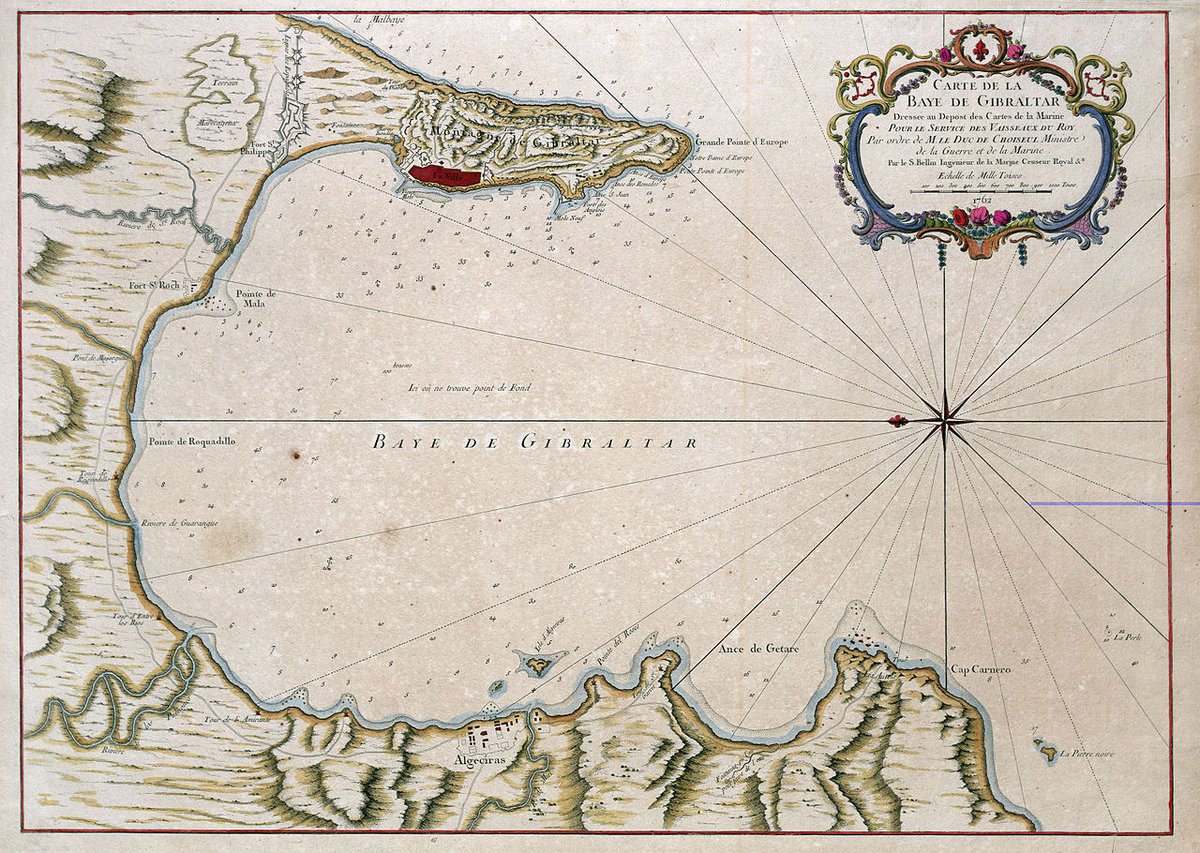
Algeciras begins with its geography: a wide bay opening directly onto the Strait of Gibraltar. The city grew here because of the port, not in spite of it. Your first view is likely one of cranes, silos, and the constant rotation of ferries. It is a functional landscape. To understand the place, you start from that harbour and move inward.
The city occupies a distinct position in southern Europe, facing Africa across one of the world's busiest maritime corridors. The Romans established a settlement here they called Iulia Traducta, a point for trade and crossing. Under Muslim rule, it became Al‑Yazirat al‑Hadra, "the green island", growing into an early important city of al‑Ándalus in the Strait region.
Its medieval history was defined by that strategic value. Walls, a main mosque, and neighbourhoods clustered by the shore. The conflicts of the 14th century left the city largely destroyed, so most visible structures are from later centuries. The older layers remain mostly beneath the surface, occasionally revealed by archaeology or in the layout of certain streets.
A square, a church and layers of time
Plaza Alta functions as the city's living room. It is not a grand, formal space but a tiled square with orange trees and benches, framed by buildings from different eras. The rhythm here is one of daily errands and conversation. This was likely the site of the main mosque, and later, the Iglesia de Nuestra Señora de la Palma was built there. The current church dates from the 18th century with later modifications. Its significance lies less in its architecture than in its location—a religious focal point for over a millennium.
A short walk away, the acueducto de Los Arcos cuts through an ordinary city street. This 18th-century structure brought water from the springs of El Cobre. Its presence in an urban setting, not in open countryside, shows how practical needs shaped the city's expansion.
Streets, changes and the market
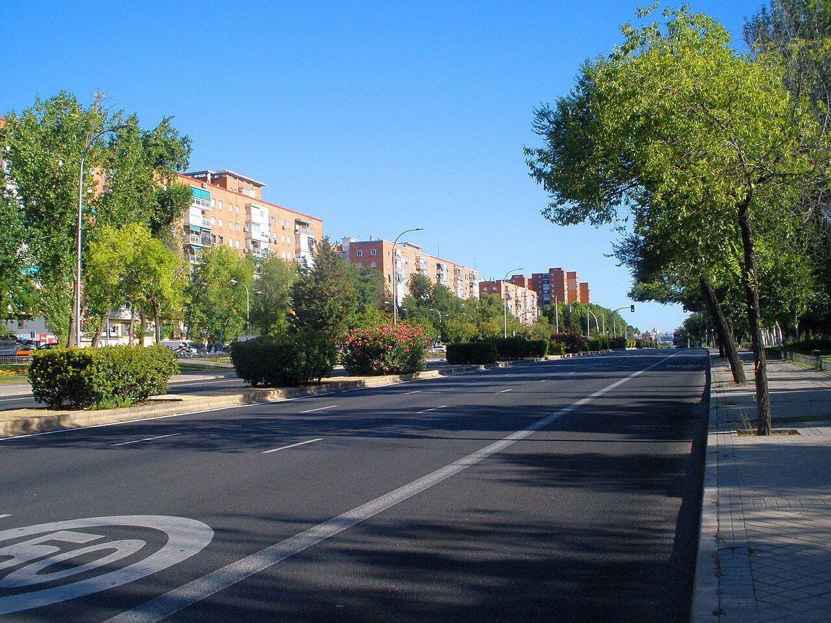
Do not expect a perfectly preserved historic centre. Many streets were reshaped during the 20th century, creating a mix of older fragments and newer buildings. The irregular pattern of some lanes, however, still hints at the medieval layout.
For a tangible link to the sea, go to the mercado de abastos. Fish from the Strait is sold here daily, including atún de almadraba when in season. The atmosphere is strictly local and practical. The city's cooking traditions are built on what arrives at these stalls.
Remnants and the nearby forest
Sections of the murallas medievales are preserved in a small archaeological park near the centre. The visible remains mostly belong to the later Islamic period, when defences were reinforced. They do not form an imposing monument, but they outline the scale the walled city once had.
The urban landscape changes rapidly just inland. Within a few kilometres, the first hills of the Parque Natural de Los Alcornocales rise up. This is one of the largest cork oak forests on the peninsula. From neighbourhoods like El Cobre, walking paths enter these humid woods. From their slopes, you look back at Algeciras as a line of port infrastructure against the water.
Festivals and shared rhythms
Semana Santa processions follow routes through the centre's narrow streets, with the port always nearby. The sound of saetas mixes with the distant hum of ship traffic.
In summer, the Feria Real alters the city's pace for several days. The fairground fills with casetas and movement. Smaller romerías also take place in the municipality's rural areas.
Moving through Algeciras
The city is shaped by its sprawl and port traffic. The central area is walkable, but reaching outer neighbourhoods or different points along the coast usually requires a car or public transport.
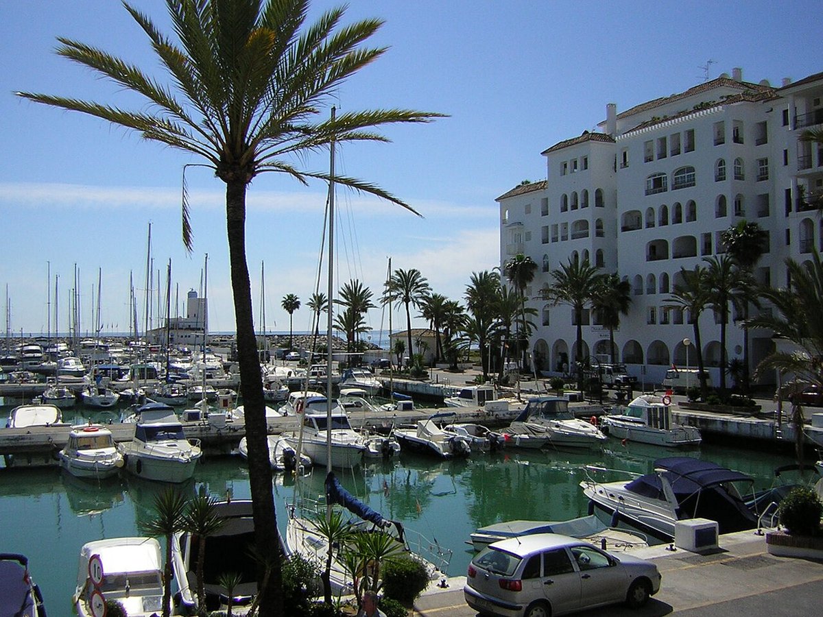
Playa de Getares, to the south, is the beach most used by residents. It lies within the same bay and is generally more sheltered than open stretches on the Strait.
Many people pass through Algeciras on their way elsewhere—to Ceuta, Tangier, Gibraltar, or the surrounding sierras. Staying even briefly reveals a city where the sea is not a backdrop. It is the reason for everything.