Full Article
about Bentarique
Small village in the Andarax valley; it keeps the charm of Andalusia’s white towns.
Hide article Read full article
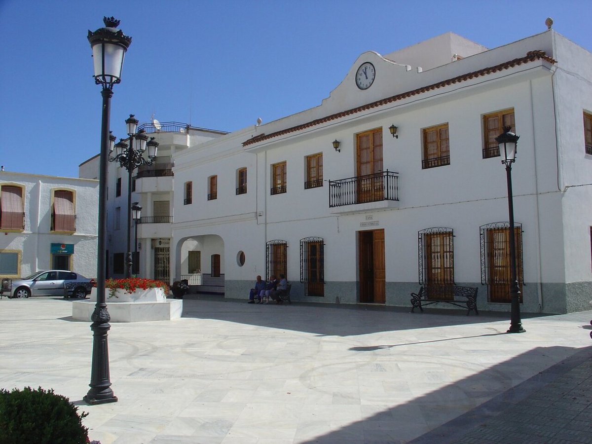
Bentarique occupies a south-facing slope in the middle stretch of the Andarax valley, where the terrain of the Alpujarra Almeriense begins to soften into drier land. The village overlooks a patchwork of small irrigated plots, a pattern sustained by acequias whose layout dates to the Andalusi period. Its population, just over two hundred, is a fraction of what it was five centuries ago.
The name suggests Andalusi origins, common in this valley. Bentarique was an alquería, a small agricultural settlement tied to the water network of the Andarax. The Morisco expulsion after the 16th-century rebellion left it nearly empty, repopulated later with families from other parts of Castile. That sequence explains the village’s structure: a street plan from before the conquest, with buildings erected long after.
From Mosque to Parish Church
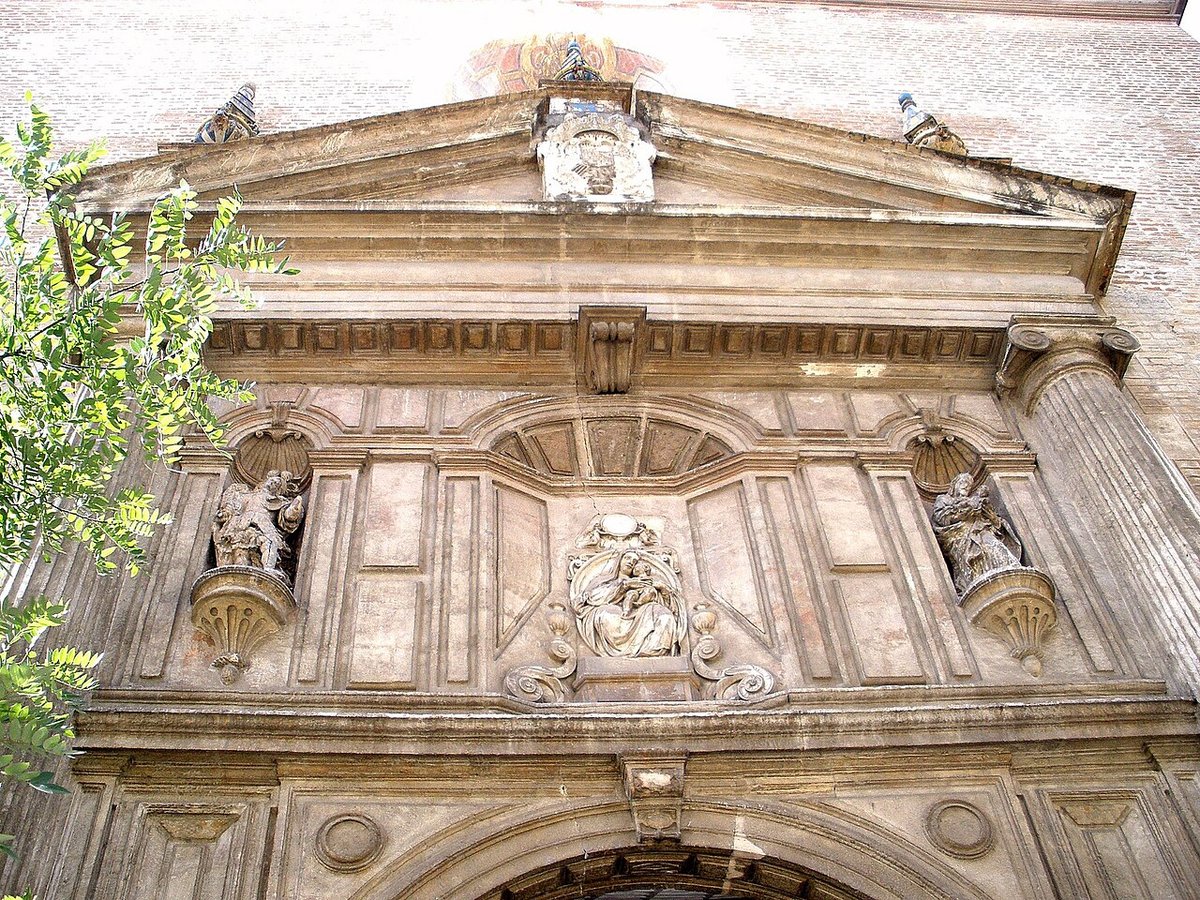
The Iglesia de San José stands where the mosque once did, a standard practice following the Christian reconquest. The current building results largely from early modern modifications. Its unassuming tower retains some Mudéjar elements—brickwork and simple decoration—reflecting the craft traditions that persisted here.
The interior is plain. Its significance is historical rather than artistic, serving as an anchor for the new community implanted in the 16th century. It functioned as both a religious site and a civic focal point within a landscape whose agricultural logic remained unchanged.
The surrounding houses show the local vernacular: thick walls for thermal mass, tile roofs, cylindrical chimneys. Look for the tinaos, covered passages that span some streets. They are practical solutions, allowing houses to expand and providing crucial shade in summer.
A Landscape Defined by Water
The terraces that stair-step the hillsides are clearly Andalusi in origin, maintained because their efficiency was undeniable. The acequias still function, diverting water to olives, almonds, and household gardens. Here, the landscape itself is the primary monument, a record of hydraulic engineering and subsistence farming.
From the upper streets, the view clarifies the valley’s logic. There is no built mirador, but the vantage reveals the stark contrast between the green of irrigated land and the surrounding dry slopes. This contrast is the key to understanding the region’s history.
Paths and Surroundings
Unpaved agricultural tracks connect Bentarique to neighbouring villages like Terque and Fondón. These are working routes, used for farming, not waymarked trails. They pass through almond groves and past abandoned cortijos, the old farmsteads that dot the hills.
Walking these paths requires some awareness. Their condition can vary with farming activity, and shade is scarce. The reward is seeing how settlement and cultivation have adapted to a difficult environment over generations.
Practicalities
Bentarique is reached by a local road that climbs from the valley road between Almería and the Alpujarra interior. Parking is straightforward near the church.
Spring and late autumn are the most suitable seasons for walking. Summer heat is severe, though evenings in the valley are often tolerable.
You can walk through the village in under an hour. The interest lies in observing the details: the course of an acequia, the construction of a tinao, the way a house is built into the slope. This is not a place of singular sights, but one where history is embedded in the arrangement of water, stone, and whitewash.