Full Article
about Valle de Abdalajís
Set at the foot of a limestone range, it's a top spot for free flight and climbing.
Hide article Read full article
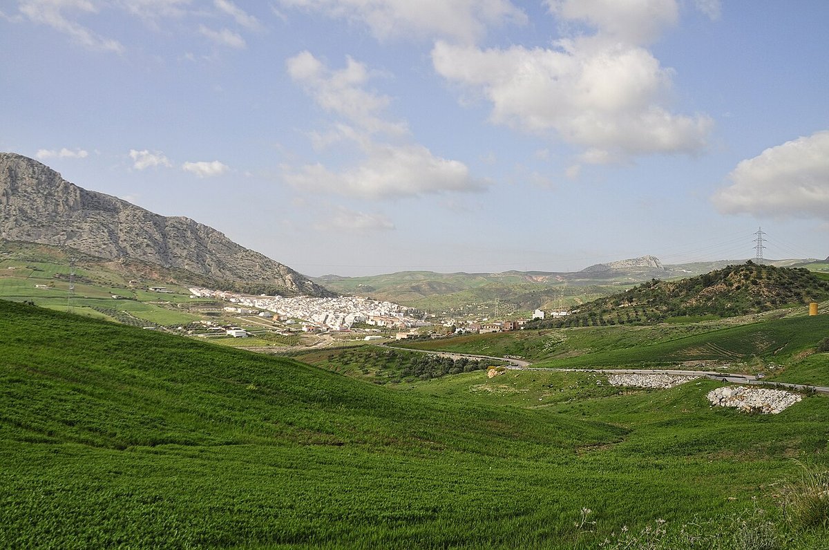
The road into the gorge
The A-343 road winds through olive groves before the land falls away. Suddenly, you are looking into a deep limestone gorge. At its base, on a steep slope, the white houses of Valle de Abdalajís are stacked tightly together. Look up, and you will often see the silent, coloured wings of paragliders circling the sierra.
This relationship with the sky is not an accident. It is the result of specific geography and wind patterns that pilots identified decades ago. The village has since grown around that reality.
A passage between coast and plain
The valley sits at a natural crossroads. For centuries, it functioned as a corridor between the Málaga coast and the Antequera basin. Evidence of this strategic role is scattered in the hills. Near Cerro Pelao, there are remains of structures linked to controlling the route. Along paths like Las Pedreras, you can find tombs carved directly into the rock face. They are often dated to the Roman or late antique period, though many have not been fully excavated. They sit in plain view, worn by weather, more a part of the landscape than a curated museum piece.
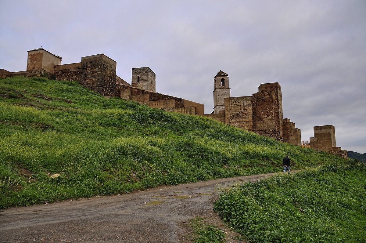
The name comes from Arabic, likely from ‘Abd al-Aziz’, a figure associated with organising this territory after the 8th-century conquest. The current village layout dates from after the Castilian reconquest. Flat land was always scarce, so construction climbed the hillside in steps. Streets follow the contour lines, creating a tiered effect.
The 16th-century church of San Lorenzo anchors the centre. It was modified later but retains a simple, single-nave structure common to many villages in this part of Málaga province.
The rhythm of flight
Pilots began arriving in earnest in the late 20th century. They found reliable thermal currents and a wide valley for safe landings. Valle de Abdalajís gradually became a fixed point on the European free-flight map.
From autumn through spring, when conditions align, the air fills with paragliders and hang gliders. The village adjusts to this seasonal population. You hear different languages in the streets. Conversations in bars and shops often turn to wind direction and cloud base. For a visitor, the simplest way to understand this is to drive up to a launch site at dawn. You watch the first sunlight hit the ridges, see the first pilots pack their wings and step into the air.
The Cristo de la Sierra
Local tradition focuses on the Cristo de la Sierra. The story says a shepherd found a cross in the mountains around the middle of the 20th century. This discovery led to the annual romería.
On the first weekend of May, the image is carried up to a small hermitage in the sierra. Many families make the walk and camp overnight. It is a community gathering, centred on shared meals outdoors before returning to the village.
The hermitage is a modest building in a mountain clearing. Its significance comes from the view. From here, you see the entire valley: the olive groves below, the compact village, and the limestone peaks where paragliders fly.
Walking up La Huma
La Huma is the dominant peak. Its shape is familiar from any point in the village. A common route starts near the cemetery, following a forest track through pine woods where Spanish ibex are frequently spotted.
The ascent is long and requires a steady pace. As you climb, the geography makes sense. The full U-shape of the valley becomes clear. To the north, you can see the distant ridges of the Desfiladero de los Gaitanes and the system of Guadalhorce reservoirs.
In some sections of the sierra, you may find stone platforms or eroded walls. They are sometimes described as pre-Roman, but their origins are not definitively established. They are simply there, another layer in the landscape.
Practical notes
The drive from Málaga takes you along the A-45, then onto the A-343. The road descends through a series of curves before a short tunnel reveals the valley.
Parking is usually available near the village entrance, though spaces fill quickly on weekends with good flying weather.
Accommodation consists of rural houses and small hostels. The food follows Antequera’s traditions: porra antequerana in summer, stews like chivo in winter. Local cured meats and almond pastries appear on most menus.
There is no checklist. Walk from the main square past the church, then follow any street that climbs upward. The village is small enough to grasp quickly. Its character is tied to the mountain weather, a quiet fact that becomes apparent after a few hours. When the wind is right, life here literally looks to the sky.