Full Article
about Algarinejo
A western village surrounded by olive groves and nature, known for its water trails and old mills in a rural setting.
Hide article Read full article
A village shaped by its terrain
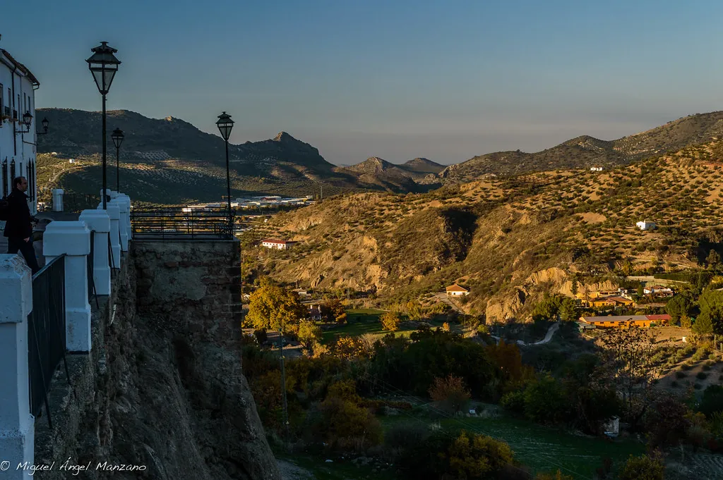
Algarinejo sits at around 600 metres, in the western part of Granada province. Its name comes from the Arabic al‑Garín, which refers to caves or rock shelters. That still makes sense when you see how the houses are fitted into the slopes, a practical response to the steep ravines and rolling olive groves that define this landscape.
This area was a frontier for centuries, between the Nasrid kingdom of Granada and Christian Castile. Alfonso XI mentioned the place in his 14th-century Libro de la Montería. The terrain dictated not just where to build, but also how to live.
A town born from dispute
Algarinejo only became an independent municipality in 1614, after separating from Loja by royal decree. The move settled a long dispute, though people had been here long before.
Evidence of that is nearby. At the Tajo de Villavieja, there are archaeological remains from late prehistory. Closer to the village, in the area known as Huerto Megías, you can find scattered traces of a Roman agricultural villa, though you have to look carefully to see them.
The earlier settlement was known as Cesna during the Andalusi period. It was positioned to control routes through the sierras. After the Christian conquest, its importance faded and the population gradually shifted to where Algarinejo stands now. The Ruta de las Fuentes Viejas passes through what’s left of Cesna—scattered ruins that were inhabited on and off until a landslide forced the last families out in the 20th century.
The church and an Enlightenment imprint
The church of Santa María la Mayor dominates the main square. Built in the second half of the 18th century, its design is often linked to the circle of Ventura Rodríguez, the Enlightenment architect.
Construction dragged on, and the building shows it. The exterior feels like late Baroque, while the interior is surprisingly plain, with a single nave. The tower is the most visible feature from a distance; for generations, it served as a reference point for people moving across the olive groves.
Further out, defensive history is written into the land. The Torre Pesquera, between Algarinejo and Loja, was part of a network of Nasrid frontier watchtowers. Only a portion remains, but its position on a rise still explains its purpose: to monitor movement along the natural corridors between valleys.
Olive groves and a working landscape
Olive trees cover almost everything here. Many are old, some over a century, their gnarled trunks giving the hills a sense of permanence. The picual variety dominates, and its oil defines the local cooking.
The food is straightforward, tied to the agricultural year. In winter, you’ll find dishes from the traditional pig slaughter: gachas, cured meats, stews. Olive oil is central, used generously in dishes like mojete de naranja con bacalao, a cold salad of orange and salt cod.
In the district of Las Fuentes de Cesna, small herds of goats are still common. Some families make cheese at home, using methods passed down within the household. There’s no standardisation—the flavour changes with the season and the pasture.
Festivities tied to the seasons
The local calendar follows the rhythm of winter and farm work. In early February, La Candelaria is marked by bonfires lit in streets across the village. On cold Granadan nights, the hot chocolate matters more than any ceremony.
In the district of La Viña, carnival keeps older customs. One is the symbolic burial of the sardine to close the celebrations, done here with a local tone.
The August fair, dedicated to Nuestro Padre Jesús Nazareno, is when many who’ve moved away return. For a few days, the population swells and old connections are renewed.
The romería of San Isidro in mid-May is distinctly agricultural. The procession to the hermitage includes tractors decorated with olive branches, and people carry farming tools alongside the saint’s image. It feels less like a spectacle and more like an extension of daily work into ritual.
Getting there and moving around
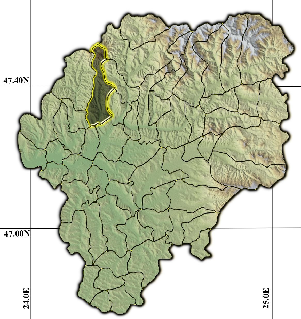
Algarinejo is at the western edge of Granada province, in the comarca of Loja. From Granada city, the drive takes about an hour and a quarter. The last stretch is on local roads that wind through olive groves, with plenty of bends.
There is public transport, but services aren’t frequent. Most people come by car.
The town centre can be walked at a slow pace in a couple of hours. Make the climb up to the cerro del Calvario. The view from there shows the logic of the place—the slopes, ridges, and endless olive groves that explain why the village is here, and how it was shaped.