Full Article
about Montefrío
Recognized by National Geographic for its panoramic views; a monumental complex with a church on the rock and an Arab fortress.
Hide article Read full article
A village shaped by rock and olive groves
Montefrío sits at 838 metres, on the frontier between the Vega de Granada and the first folds of the Subbética. Its recognisable silhouette comes from that position: two rocky hills rising from a sea of olive groves. For the Nasrid kingdom, this was a strategic lookout. For the visitor arriving from Granada, the first view explains centuries of history in a glance.
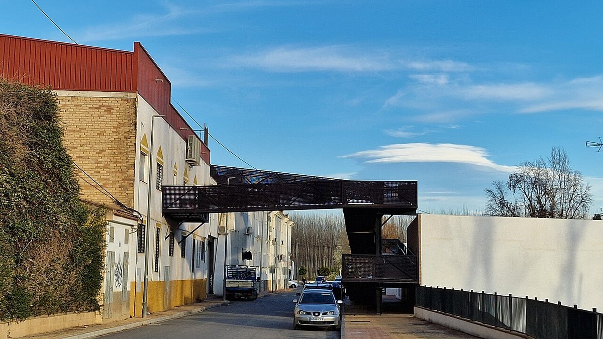
The village adapted to the stone. Streets climb the slopes, not with orderly grids but with the logic of a path of least resistance. Moving through the historic centre means negotiating steep inclines and sudden turns. The layout makes you aware of the terrain underfoot.
From fortress to parish church
The higher hill held a Muslim fortress until the end of the fifteenth century. After the conquest, the new authority built the Iglesia de la Villa on the exact same site, a common practice along this former frontier. The church itself is a solid, sober structure from the sixteenth century.
Its importance is in its placement. From the atrium, the view encompasses the entire natural corridor towards Granada. You stand where a sentry would have stood. The strategic reason for the settlement becomes obvious here, not in a museum.
In 2015, a photograph from a nearby viewpoint was included in a National Geographic feature on landscapes. The image of the church poised on the rock cemented an identity Montefrío already had.
The circular church on Cerro del Calvario
The second hill, Cerro del Calvario, is crowned by the Iglesia de la Encarnación, built between 1786 and 1802. Its circular floor plan is unusual in Andalusia and invites comparison to the Roman Pantheon, though the interior feels more austere, lit by high side windows.
From its base, you see the village's structure: the built-up area spills down the slope between the two heights, forming that urban amphitheatre. The houses here are typical of the region—whitewashed facades, clay tile roofs—arranged on streets that use short bends and steps to manage the gradient.
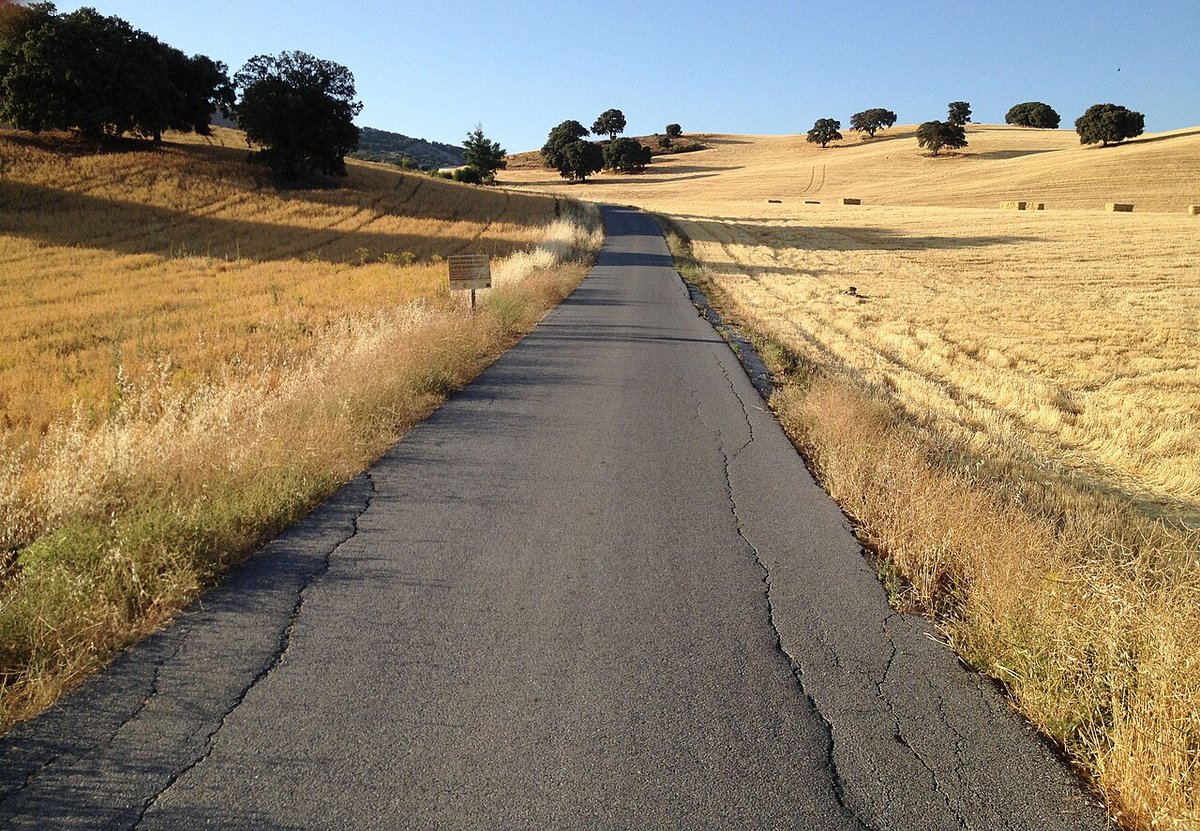
Montefrío was declared a Conjunto Histórico in 1982. The designation recognises the historic fabric, but daily life still revolves around agriculture. The olive groves are not a backdrop; they are the primary economic activity.
A landscape inhabited for millennia
Human activity here predates the churches by millennia. About six kilometres from town, the Peñas de los Gitanos area holds prehistoric dolmens among its limestone formations and holm oaks. A track passes through, linking these megalithic tombs with traces of later settlements. This natural corridor has been used since remote times.
Closer in, following the Arroyo de los Molinos, you find the remains of hydraulic mills. Stone channels and partial walls show how grain was ground here using water power, a small-scale industry that lasted into living memory.
Interior flavours and living traditions
The local cooking reflects the land. Remojón, a salad of orange, salt cod, and onion, appears in homes when citrus is in season. Choto al ajillo (kid with garlic) and lomo de orza, pork loin preserved in lard, are other common dishes.
Sheep and goats graze the surrounding countryside, and artisan cheesemaking persists in the comarca. These cheeses are usually available at the local market.
Some festive nights, a custom sees residents place candles along streets and in squares, illuminating the town with points of light arranged by hand. It’s a practice that has slowly drawn outside attention.
Practical notes for a visit
You can walk the historic centre in two or three hours, but the slopes are constant. Most people park in the lower areas and continue on foot.
If you look beyond the whitewash, details like stone doorways, interior courtyards, and small kitchen gardens at the town's edge show how domestic life adapted to climate and terrain.
Montefrío is about an hour by car from Granada via the A-92 and Loja. There is a bus service from the capital, but it is infrequent; check schedules before relying on it.
What stays with you is the silhouette. Two hills, two churches from different eras, and between them, the daily rhythm of a village built on rock and sustained by olives.