Full Article
about Montejícar
Mountain village with remains of an Arab fortress, set among olive groves and hills with far-reaching views.
Hide article Read full article
A village shaped by its hillside
Tourism in Montejícar begins with its setting. The village sits at the northern edge of the province of Granada, within the comarca of Los Montes, at over 1,000 metres above sea level. It clings to a steep hillside, and that slope dictates everything. From a distance, the settlement looks compact. Walk through it and the layout becomes clearer: streets rise and fall sharply, and houses are arranged in tiers to match the terrain.
The surrounding landscape reflects this part of inland Granada. Low hills covered in olive groves stretch out in every direction. Dry ravines cut through the land for much of the year, while scattered cortijos, traditional rural farmhouses, point to a way of organising the land that remains closely tied to agriculture. Olive cultivation still plays an important role in daily life here.
The name Montejícar is often linked to the rocky outcrops found in the area, although its exact origin is not always clearly explained in historical sources. What stands out more clearly is how closely the settlement responds to the land itself. The houses follow the slope in a tight formation, making the village easy to explore on foot, though the steep streets are always noticeable.
From higher points, particularly near the castle, the views open up. Nearby mountain ranges come into sight, and on clear days the distant outline of Sierra Nevada appears on the horizon.
Life moves at a steady pace. Old olive trees, unpaved tracks linking cortijos, and the routines of agricultural work still set the rhythm for many residents.
Landmarks and the shape of the town
The parish church of Nuestra Señora de la Encarnación dates back to the 16th century, built in the years following the Castilian conquest of the area. Like many churches in the region, it has undergone later alterations. Its tower acts as a visual reference point within the village, visible above rooftops from several streets. Inside, the space is restrained, with altarpieces and devotional objects that reflect the popular religious traditions of the comarca.
At the highest point of Montejícar lie the remains of its castle. Today they are fragmentary, but the site still tells part of the story. During the Middle Ages, this area formed part of a frontier between Christian kingdoms and the Kingdom of Granada, and the castle belonged to a wider defensive network. Although no complete structure survives, its position makes the logic clear: from here, the surrounding territory can be closely observed.
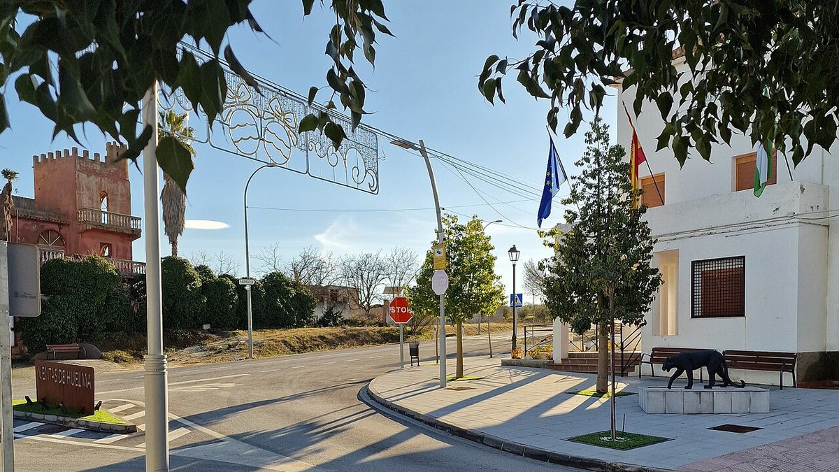
The town itself preserves elements of traditional Andalusian architecture. Whitewashed houses line the streets, often with simple iron window grilles. Some homes conceal interior courtyards that are only hinted at from the outside. A slow walk reveals everyday details such as small animal pens, vegetable plots attached to houses, and walls where the underlying stone shows through the limewash.
The landscape forms part of the experience as much as the built environment. Olive-covered hills shift in appearance with the seasons. On clear days, certain paths near the village offer views of the pale line of Sierra Nevada in the distance.
Exploring the surroundings
Walking through the countryside is one of the most direct ways to understand Montejícar and its setting. Rural tracks cross olive groves, climb small hills, and descend into ravines. Not all routes are signposted, so it is worth getting your bearings beforehand or asking locally.
Local cooking reflects what the land provides in this inland part of Granada. Dishes such as migas, gachas, and stews made with small game are common in colder months. Extra virgin olive oil, produced in the comarca, features in almost everything.
Many visitors also explore the area by car, following secondary roads or agricultural tracks. Across the municipality, old cortijos appear alongside small installations linked to olive production, and some areas where the terrain becomes more rugged.
The olive harvest, usually between late autumn and winter, changes the atmosphere noticeably. Trailers loaded with olives move along rural tracks, groups of workers gather among the trees, and there is a steady flow of activity tied to the harvest.
Photography enthusiasts often find favourable light at sunrise or towards the end of the day. From the entrances to the village or from the castle area, the contrast between the white houses and the surrounding olive hills is particularly clear.
Traditions and annual rhythms
The main celebrations in Montejícar centre on the Virgen de la Encarnación, the town’s patron saint. Her feast day is usually held around March and brings together religious observances and more informal gatherings in the streets.
Summer brings another round of festivities in August, timed to coincide with the milder nights typical of this upland area. Activities tend to take place in open spaces and also serve as a meeting point for those who return to the village during the holiday period.
Throughout the year, these events sit alongside the ongoing agricultural cycle, which continues to shape life in Montejícar just as much as its geography does.