Full Article
about Guillena
Key stop on the Vía de la Plata with the Gergal reservoir and rich game cuisine.
Hide article Read full article
A landscape shaped by water
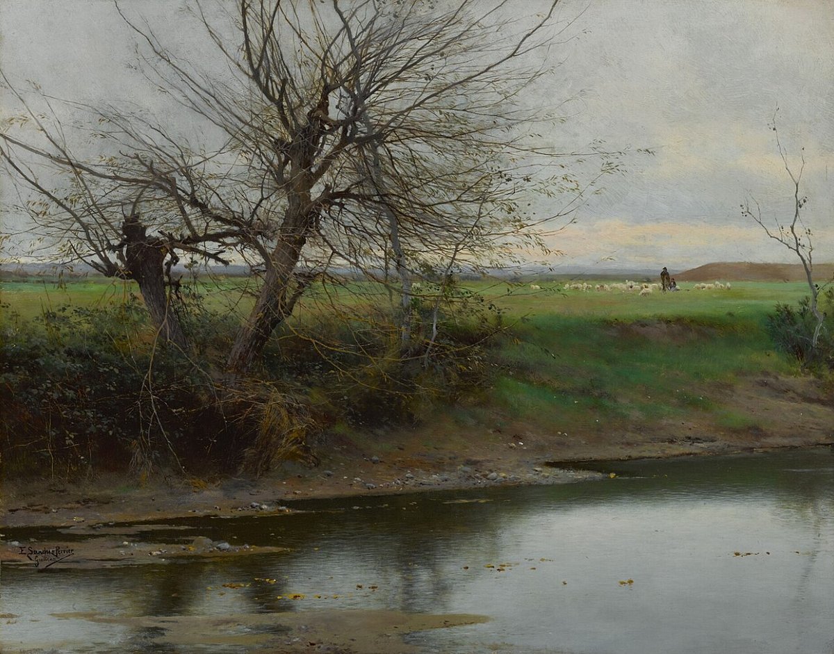
Around 20 kilometres north of Seville, tourism in Guillena begins with water. The municipality stretches across farmland, olive groves and the first foothills of the Sierra Norte, in a landscape crossed by reservoirs that supply the capital. From the A‑66, the first impression is fairly plain, with industrial buildings and open fields, but the view changes as you get closer. Dams, pine woods and a network of paths start to define the area, giving a sense of how much this terrain has shifted over the last century.
Water is not just a feature here, it is the organising element. The reservoirs nearby are part of a wider system that regulates Seville’s supply, and their presence has reshaped both the land and how people move through it. Tracks follow old and new routes, sometimes alongside pipes or channels, sometimes cutting through woodland, linking places that once depended on natural river courses.
From megaliths to reservoirs
Human presence in this area goes back a long way. In a spot known as Puerto de los Entierros, to the north of the municipality, megalithic burial sites have been preserved, usually dated to the third millennium BC. Their location was not accidental. The Rivera de Huelva acted as a natural corridor between the countryside and the hills, making it a logical place for early settlement and movement.
That same logic continued under Roman rule. A route passed through here connecting Itálica, one of the main Roman cities in the region, with the interior of the Iberian Peninsula. In the area of Vega del Moral, remains of a Roman villa have been found, including mosaics and bath structures. It was not an isolated site, but part of an agricultural network linked to the wider Guadalquivir valley.
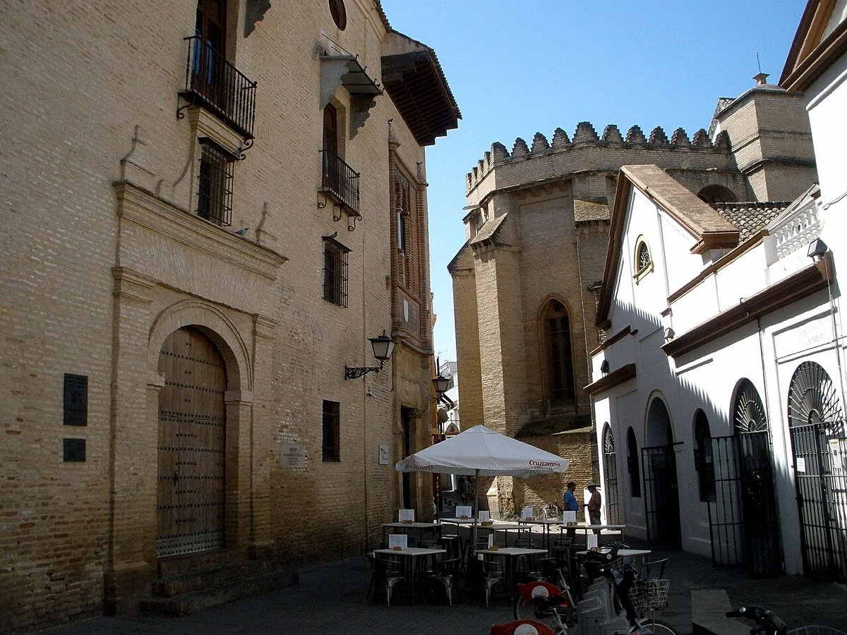
The medieval period left fewer visible traces, though written records do exist. Guillena came under Christian control in the 13th century during the conquest of Seville by Ferdinand III. At that time, it held strategic value on the frontier of the former taifa kingdom. There was also a Muslim fortification here, whose enclosure roughly occupied the space where the bullring stands today.
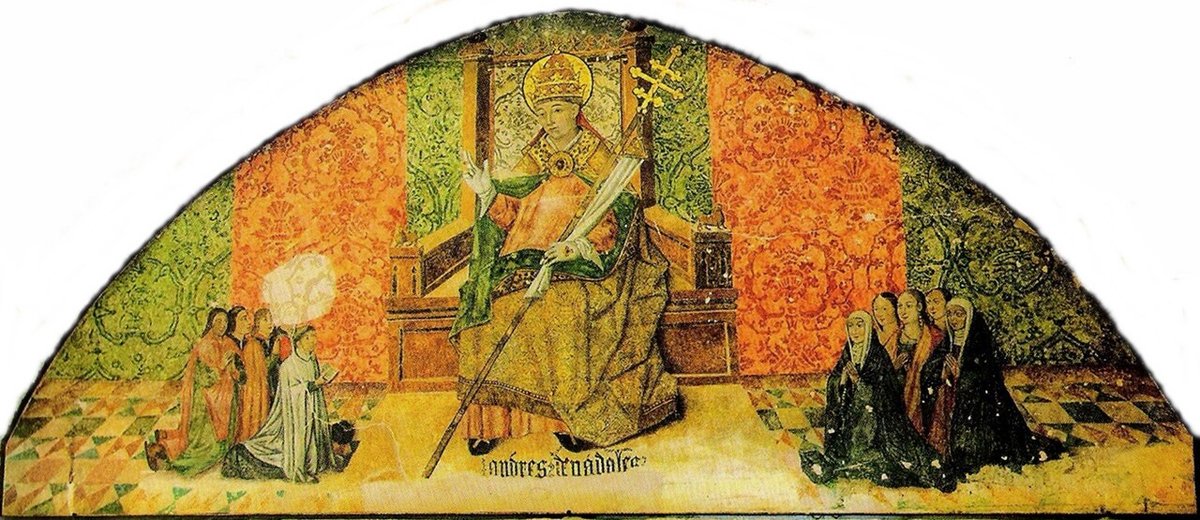
The church of Nuestra Señora de la Granada
At the highest point of the town centre stands the church of Nuestra Señora de la Granada. The current building dates back to the 15th century, although it has undergone later alterations, particularly during the Baroque period.
Inside, there is an image of the Virgin and Child that is usually placed between the late Gothic and early Renaissance. The dedication to the Granada is not unusual in Andalusia after the conquest of the Nasrid kingdom. The pomegranate became a political and religious symbol, widely used in the imagery of the late 15th century.
Each September, the image is carried in procession during the local festivities. At that time, the rhythm of the town shifts, and the streets near the fairground fill with activity.
Reservoirs and paths by the water
A significant part of the municipality is shaped by hydraulic infrastructure. Nearby are the reservoirs of La Minilla, El Gergal, Cala and El Esparragal, along with the Guillena regulating reservoir. Together they form part of the system that manages water supply to Seville.
Close to one of the dams, a peri‑urban park has been created. From here begins a walking route known as the Ruta del Agua. It is a straightforward path that follows the water conduit for several kilometres. The terrain is flat, making it suitable for both walking and cycling.
Further north, towards the more mountainous part of the municipality, the scenery changes noticeably. Pine woods, holm oaks and low scrub line the track that leads to the megaliths of Puerto de los Entierros. This is not a monumental site prepared for large numbers of visitors. Signage is minimal, and the dolmens appear among the vegetation, open directly onto the surrounding countryside.
Cooking from field and hillside
Local cooking combines produce from the farmland with recipes linked to hunting. In many homes, a version of salmorejo is prepared that differs from the one more commonly associated with Córdoba. Alongside tomato, it often includes cucumber, green pepper and onion, topped with chopped hard‑boiled egg.
During hunting season, dishes featuring partridge, rabbit or venison appear, usually cooked slowly. These are meals more associated with Sundays than everyday eating, tied to family gatherings and the habit of taking time over cooking.
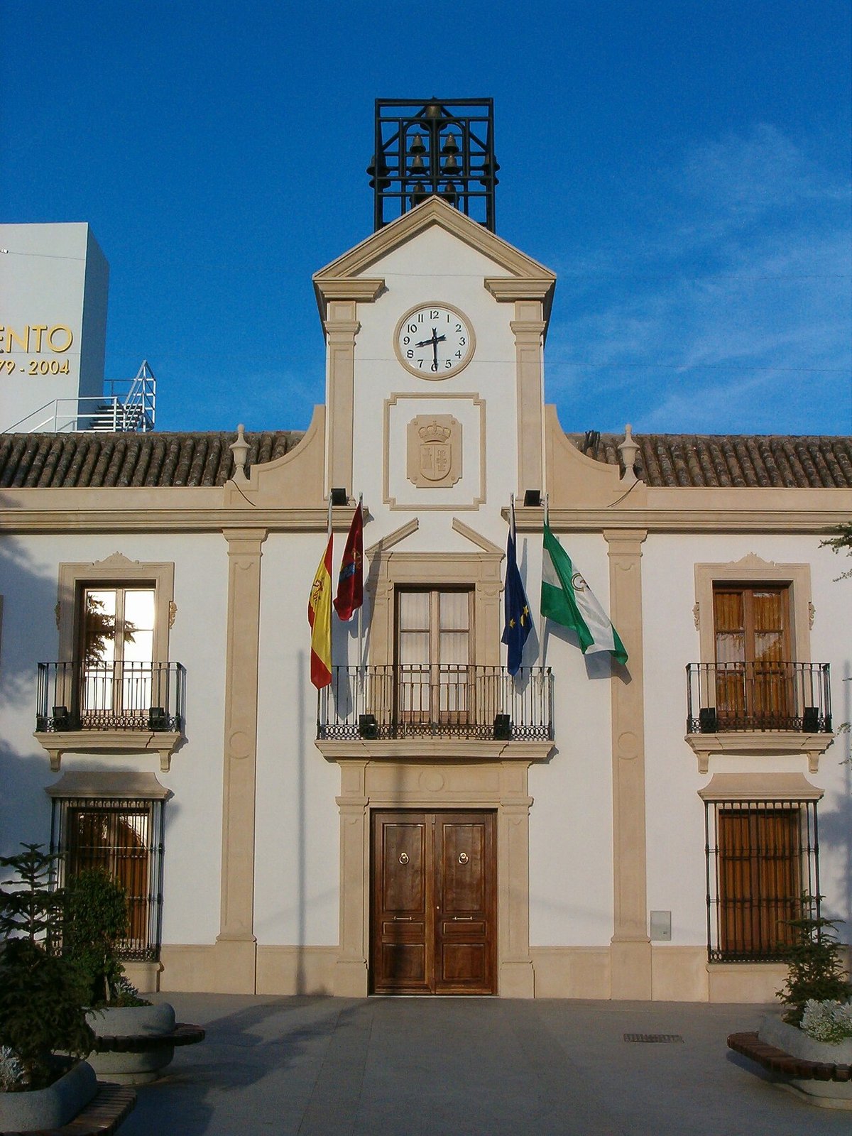
Getting there and the best time to go
Guillena is easily reached from Seville via the A‑66 motorway or the older N‑630 road. There is also a train station within the municipality, located several kilometres from the town centre, on the line that connects Seville with the Sierra Norte. Buses from the capital also run regularly.
The town itself can be explored fairly quickly. The church, the bullring and a few central streets lined with houses from the late 19th and early 20th centuries make up the main urban points of interest. Much of what defines Guillena lies beyond, along the paths that lead towards the reservoirs or into the more rugged northern areas.
Spring and autumn tend to be the most pleasant times to visit. Summer brings intense heat, as in much of inland Seville province, and daily life shifts towards the cooler hours later in the day.