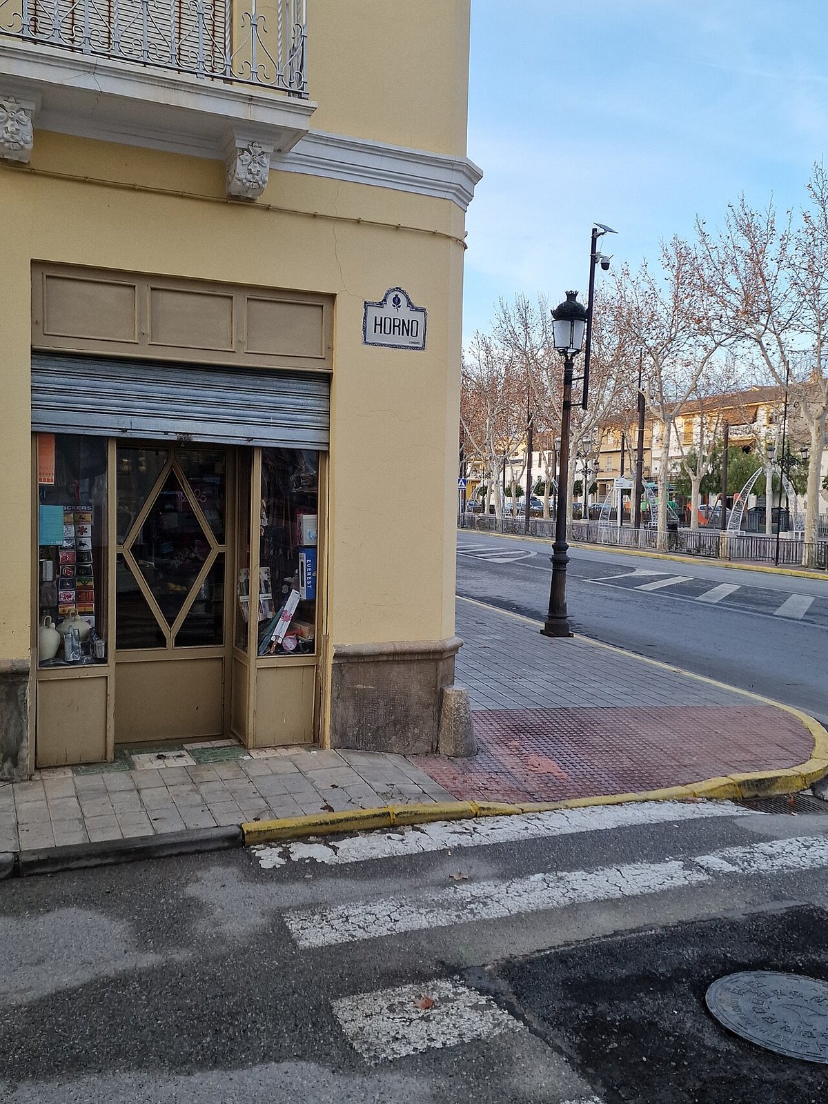
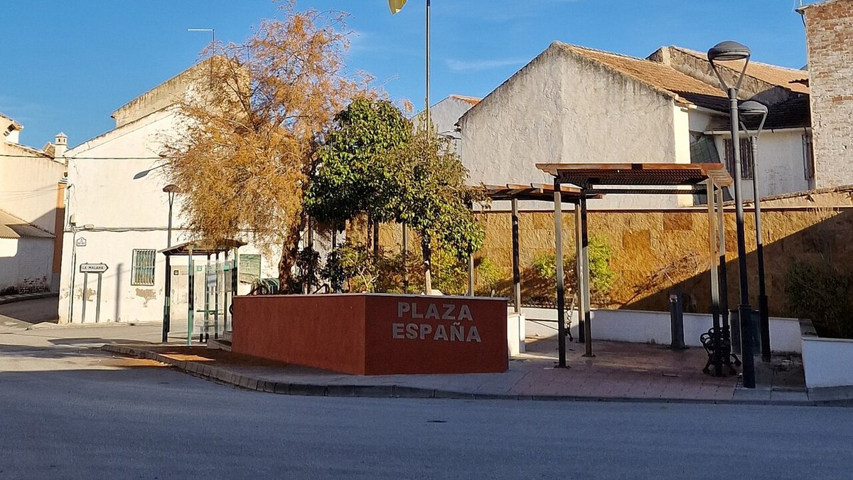
Full Article
about Cijuela
Small municipality in the heart of Vega; fertile land devoted to farming, with a privately owned castle-palace.
Hide article Read full article
A village beneath the flight path
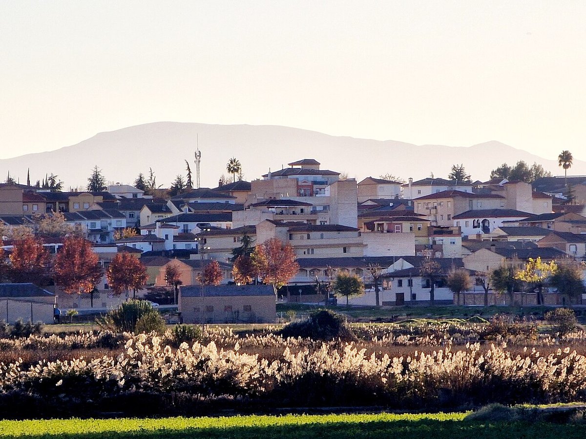
As planes descend over the Vega de Granada, the landscape around Cijuela comes into view before landing. The straight line of the A‑92 cuts across a patchwork of cultivated fields, where white houses cluster together among rectangular plots and the occasional agricultural building. The airport sits very close by, yet most travellers continue on towards Granada. Cijuela looks more towards the vega than to the air traffic above it.
Local rhythms follow the land. On Tuesdays, a market brings activity to the streets. In growing season, the scent of fresh produce such as peas or melons can carry as far as the road. The surroundings feel shaped less by movement and more by cultivation, with the village tied closely to what is grown in its fields.
Land measured in marjales
In Cijuela, land is rarely described in hectares. Many people still use marjales, a traditional unit of measurement specific to the Vega de Granada. The exact size can vary depending on the area, yet the term remains widely understood when discussing plots or rental agreements.
The landscape itself helps explain why this older system persists. The vega is highly divided, with irrigation channels known as acequias and agricultural tracks organising the terrain into neat rectangles. These irrigation systems are often traced back to the Andalusí period, when many of the channels that still water the plain near the Genil were expanded and structured. Even the historical name of the settlement, recorded in different forms, refers to a small fertile plain.
This sense of order is visible everywhere. The land is not expansive in a sweeping way but carefully portioned, shaped by water management and long-standing agricultural use.
A solitary tower and a working church
Just over a kilometre from the centre of the village, the Torre de la Hoya, also known as the Torre de Cijuela, rises among fields and some newer olive groves. Built from rammed earth and circular in plan, it formed part of a defensive network that monitored the Vega de Granada during the final centuries of al‑Ándalus.
Today, the tower stands partially ruined, open on one side. There is no visible settlement around it, which is typical for this kind of watchtower. Its role was not to house a community but to oversee territory and the routes crossing the vega.
Back in the village, the oldest building still in use is the church of San Sebastián. The current structure dates from the 16th century and has undergone several later alterations. Inside, there are elements reused from earlier constructions. Among them is a stone baptismal font whose exact date is uncertain, though it is generally thought to predate the present building.
Each year on 20 January, the image of San Sebastián is carried through the streets in procession. Small fireworks and firecrackers accompany the event, forming part of a local custom that mixes religious observance with a lively atmosphere.
Firelight in winter, shared food in spring
One of the most recognisable dates in the local calendar is the celebration of Candelaria at the beginning of February. On that night, bonfires are lit in different parts of the village. Traditionally, bundles of esparto grass or pruning remains are used as fuel, burning slowly while neighbours gather around the flames.
As spring progresses, attention shifts towards the banks of the Genil and nearby groves of poplars. Families head out to spend the day outdoors, bringing food and settling in for long, informal meals. A common feature of these gatherings is the hornazo, a baked bread filled with cured meats and a hard-boiled egg inside. It is typically shared among groups seated around makeshift tables or folding chairs.
There is usually no formal programme for these outings. People arrive when they can, and the chosen spot gradually fills up over the course of the day.
Everyday cooking from the vega
Daily cooking in Cijuela depends heavily on what the surrounding land provides. In season, peas, broad beans and white beans appear, grown in nearby plots. Summer brings melons and watermelons, continuing the pattern of close reliance on local produce.
Meals tend to be simple and rooted in domestic traditions. Common dishes include soups made with rice and tomato, chickpea stews scented with wild fennel, and choto al ajillo, a garlic-based goat stew. These recipes belong more to the home than to restaurants, passed down within families rather than formalised elsewhere.
The connection between field and kitchen remains direct. What is harvested nearby often defines what is prepared that day.
Walking across a level landscape
The municipality is almost entirely flat, something that becomes clear on any walk beyond the built-up area. Livestock trails and agricultural tracks cross the fields, following the lines of irrigation channels and small streams.
One such path begins in the village and continues through cultivated plots and rows of poplars until it approaches the banks of the Genil. There is very little change in elevation, so walking is easy and steady. In quieter stretches, birds associated with irrigated land and wet areas of the vega can often be seen. At the same time, the nearby airport and motorway remain part of the soundscape, a constant reminder of the village’s location.
Finding your bearings
Cijuela lies in the Vega de Granada, a short distance west of the provincial capital. It is easily reached by road from the motorway that crosses the region.
The village itself can be explored quickly. To understand the vega, it is worth heading out on foot along one of the agricultural tracks. Away from the centre, the layout of the acequias becomes clearer, as does the way daily life continues to follow the rhythms of cultivation and water.