Full Article
about Pinos Puente
Historic crossroads where Columbus was overtaken by the Catholic Monarchs; key farming hub of the Vega.
Hide article Read full article
The bridge comes before the town. That has been the case for centuries in Pinos Puente, in the heart of the Vega de Granada. The crossing over the river Cubillas determined where people settled. The current structure is usually dated to the Andalusi period, built over a natural ford that made it easier to cross the fertile plain.
Today the road runs across it with little ceremony, cars and lorries passing every day. Even so, the arch still rises above the riverbed, and at one end stands a small chapel dedicated to the Virgen de las Angustias. The setting may feel ordinary at first glance, yet this crossing shaped the history of the area.
A crossing that altered the course of events
One well-known episode from the late 15th century is linked to this bridge. Local tradition holds that Christopher Columbus passed through here as he was leaving the court of the Catholic Monarchs, who were then based in nearby Santa Fe during the War of Granada. At some point along the road he received word that he should return and continue negotiations over his proposed voyage.
The story has been repeated in the town for generations. Each year it is usually recalled with a symbolic act beside the bridge. It is not a grand historical re-enactment, but rather a local custom that keeps this fragment of the past alive. Whether taken as firm history or enduring legend, the tale forms part of the identity of Pinos Puente.
A patchwork of settlements in the Vega
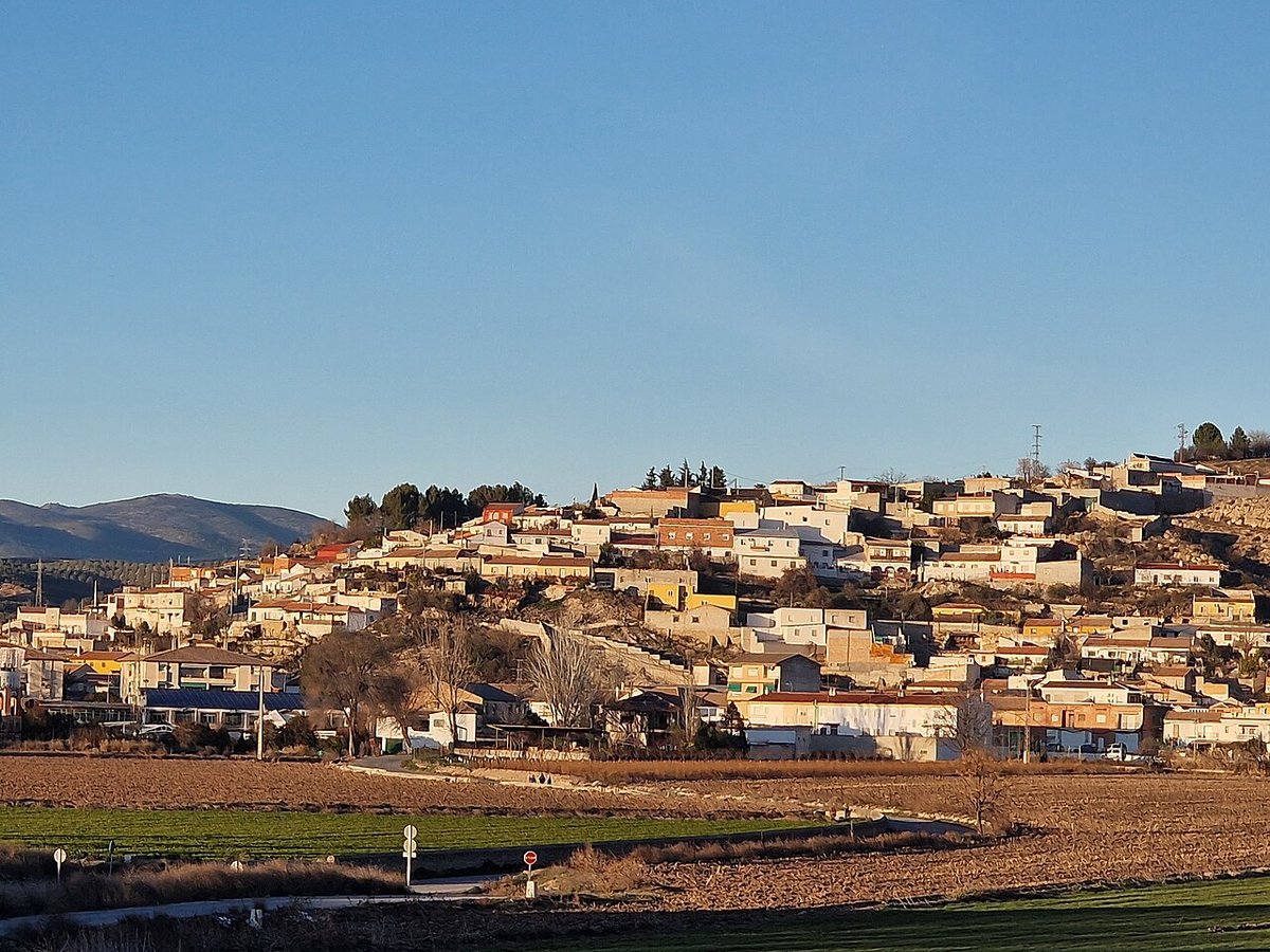
Pinos Puente belongs to the agricultural landscape of the Vega de Granada, the wide and fertile plain that surrounds the city of Granada. The terrain defines everything here: flat land, rich soil and a network of irrigation channels, known as acequias, that have functioned since medieval times.
The municipality is not concentrated in a single urban centre. Alongside the main town are Valderrubio and Trasmula, each separated by cultivated fields. Moving between them means passing through open farmland where olive groves and vegetable plots dominate, the appearance shifting with the seasons.
To the north rises Sierra Elvira, a constant presence visible from almost anywhere in the municipal area. Its outline frames the horizon and marks the edge of the plain.
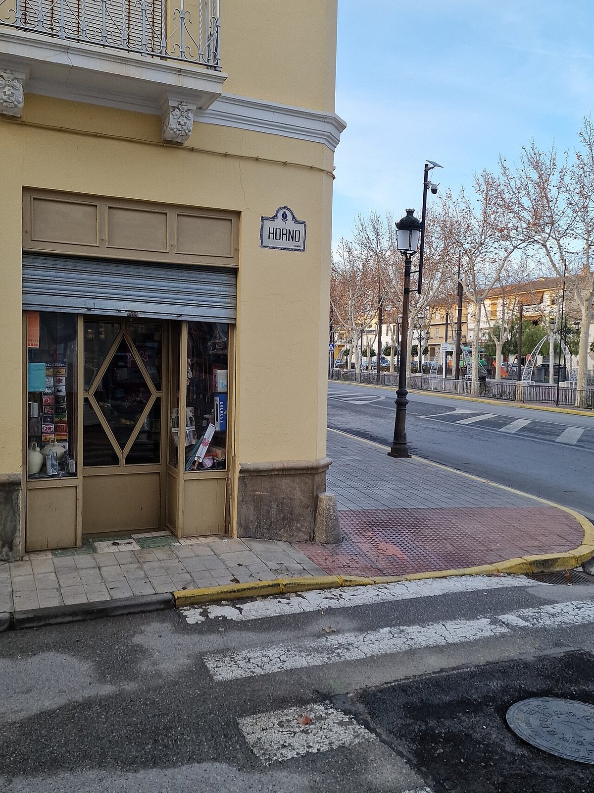
In the centre of Pinos Puente stands the church of San Pedro. The present building dates from the 16th century and has undergone several later alterations, especially after suffering damage during the Spanish Civil War. Inside, a Baroque altarpiece draws attention for its Solomonic columns and the sense of movement created by their twisted forms.
Valderrubio, one of the municipality’s settlements, is also associated with Federico García Lorca. The poet spent periods of his youth there in the family home linked to their agricultural lands. The rural atmosphere of the Vega later appeared, transformed, in some of his writings. The village preserves this memory quietly, without spectacle.
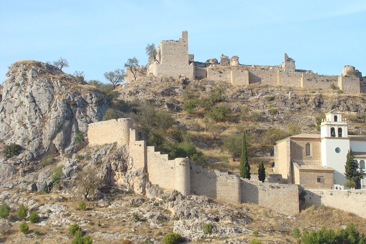
Nine protected sites and a vanished tram
The wider municipal area contains several protected heritage sites. Some can easily be overlooked without prior knowledge.
At the Peñón de Zujaira there is a prehistoric necropolis linked to the Copper Age. The tombs were carved into the rock and identified during the 20th century. The site is stark: stone underfoot, wind across the hill, and the Vega stretching out below. Its simplicity is part of its character.
Another unusual element of local heritage relates to the old tram that once connected Granada with several villages of the Vega. The line operated for much of the 20th century before road transport eventually displaced it. In Pinos Puente the former station building has been preserved. It is now integrated into an open-air cultural space constructed using materials from the railway infrastructure itself. The result keeps a trace of that period when the tram linked the agricultural plain to the city.
When water divides itself
On a hill near the river, known as the Sombrerico, a traditional hydraulic system called the Media Luna survives. It consists of stone channels designed to divide irrigation water in several directions without the use of mechanical gates.
Its operation depends on gradient and on the precise shape of the acequias. Water flows in and, by gravity alone, is distributed towards different plots of land. The solution is straightforward and effective, a reminder of how closely agriculture in the Vega depended on careful water management. In a landscape where farming shaped daily life for centuries, such systems were essential.
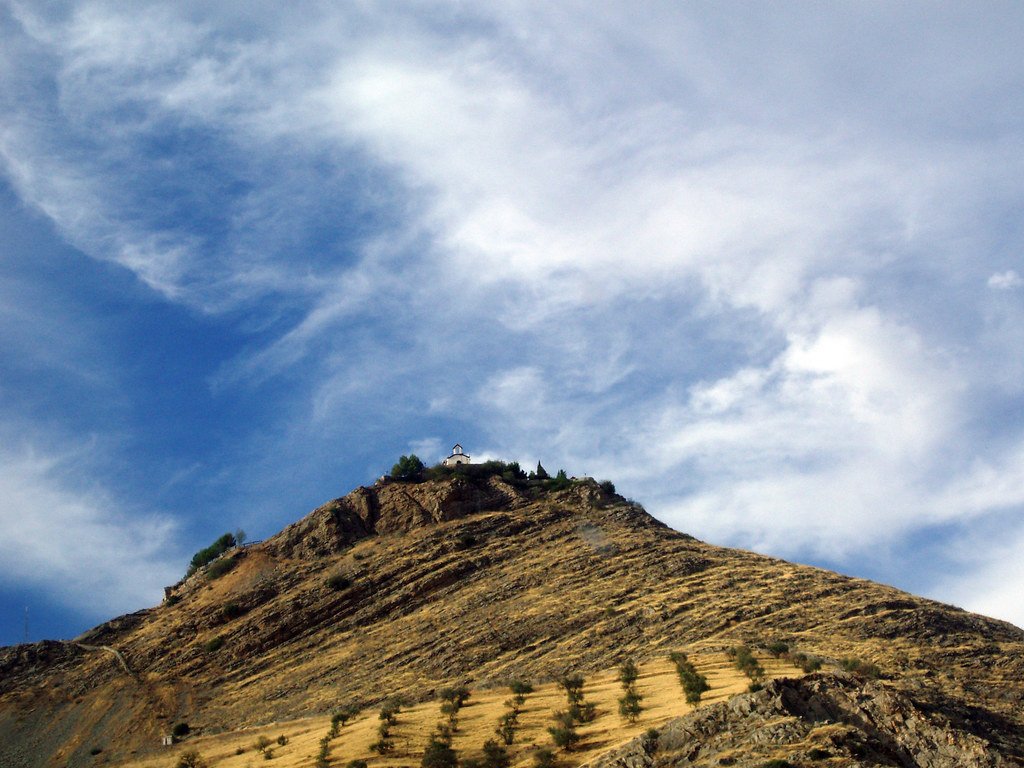
Paths towards Sierra Elvira
From the area around the bridge, tracks lead towards Sierra Elvira. The landscape changes quickly as the route climbs. The cultivated fields of the plain give way to limestone slopes dotted with scrub and old shepherds’ shelters built from dry stone.
From certain points the view opens across the entire agricultural plain. Granada appears in the distance and, on clear days, so does Sierra Nevada beyond. The contrast between the flat Vega and the rising mountains helps explain how this territory has always been organised around water, crossings and cultivation.
A relatively recent wildfire affected part of Sierra Elvira. Blackened trunks are still visible in places, yet new shoots have begun to emerge. The hillside is recovering gradually, as it has done on other occasions.
Approaching and walking the town
Pinos Puente lies a short distance from Granada by road, within the agricultural axis of the Vega. Access is straightforward by car, and the town itself can be explored easily on foot.
It makes sense to begin at the bridge and then walk towards the centre. The church of San Pedro, the streets of the older quarter and the paths leading out towards the fields help to explain how the settlement developed around the river and around work in the Vega.
By the end of the day it is worth returning to the bridge. The Cubillas often carries little water, yet the arch continues to mark the same crossing that first organised this place. Long before modern traffic and municipal boundaries, it was this point over the river that brought people together and gave Pinos Puente its reason to exist.