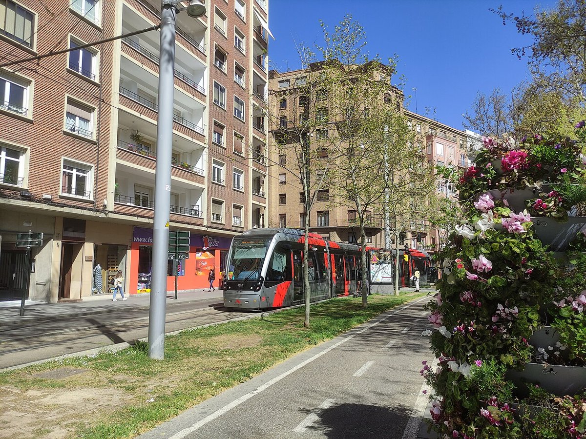


Aragon: Pyrenees, steppe, and Mudéjar brickwork
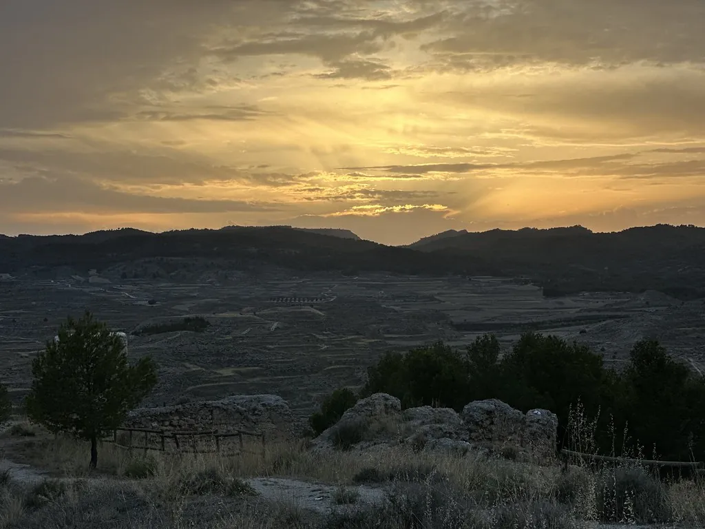
Aragonese Pyrenees: 3,000-metre peaks, glacial lakes, and canyons
Aneto (3,404 m), in the Maladeta massif, is the highest point in the Pyrenees. Its glacier, which covered 110 hectares in 1850, has shrunk to under 20 by 2025. Lower down, the Ordesa canyon (Ordesa y Monte Perdido National Park, 15,608 ha) drops 1,000 vertical metres from limestone summits to the River Arazas. The ibones — Pyrenean glacial lakes — number over 200 in Aragonese territory, most between 2,000 and 2,800 metres.
Monegros: the steppe between two rivers
Between the Ebro and the Cinca, the Monegros cover 2,764 km² of semi-arid terrain receiving under 350 mm of rain per year. The saladas (endorheic saline lagoons) such as the Laguna de Sariñena (206 ha, Aragon's largest) support invertebrate communities adapted to extreme salinity. Remnants of the Monegros Canal — planned in 1915 to irrigate the steppe — still cross the territory: 108 km built out of the 150 intended, with colonisation villages like San Lorenzo del Flumen (founded 1953) raised alongside the channels.
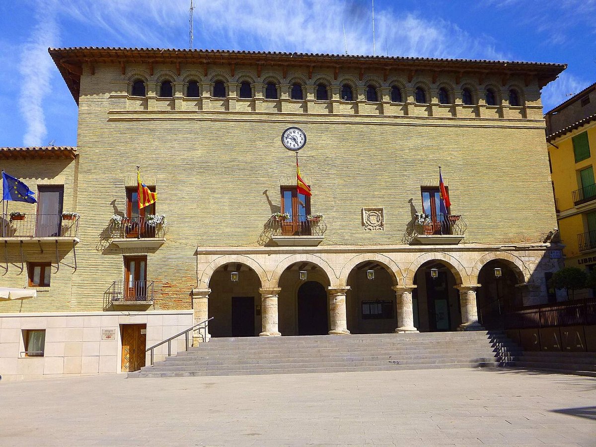
Aragonese Mudéjar: brick, plaster, and geometry
Aragonese Mudéjar art, a World Heritage designation since 2001, is a building style that fuses Islamic technique with Gothic structure using exposed brick, carved plaster, and glazed ceramic. The tower of San Martín church in Teruel (14th century, 40 m) and the Salvador tower (13th century) display geometric lattices and blind pointed arches without a single stone. Teruel province alone counts over 80 churches and towers with catalogued Mudéjar elements — the greatest concentration of this technique in the world.