Full Article
about Panticosa
Hide article Read full article
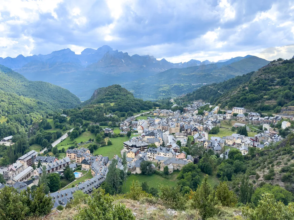
A village shaped by height and water
Early in the day, before the sun clears the ridgelines, Panticosa is defined by sound. The river runs clear and cold, and a damp scent drifts through the pines, a reminder that the mountains set the pace here, even within the village itself. Up in the higher valley, where the old thermal facilities stand, the light arrives later. The slopes act like a wall.
Panticosa sits at 1,184 metres above sea level, in the Alto Gállego area of Aragón. Around it rise peaks that climb beyond three thousand metres. That relief dictates daily life. In summer, walking starts early to make the most of the cooler hours. In winter, everything turns towards the snow.
The spa and the narrowing valley
The road that climbs from the village moves into a tighter valley. Tall pines appear, along with grey rock and the steady murmur of water. This is where the Balneario de Panticosa is located, a group of buildings that combines early 20th-century architecture with more recent constructions.
The thermal waters have been used for generations. They emerge hot, carrying a mineral smell that is noticeable as soon as you approach the springs. Traditionally, they have been linked to rheumatic and respiratory issues, although today many visitors simply come to spend a quiet stretch of time in a mountain setting.
Arriving early changes the feel of the place. Before the day’s traffic builds, the valley is noticeably calmer. By mid-morning, movement increases and the sense of stillness fades.
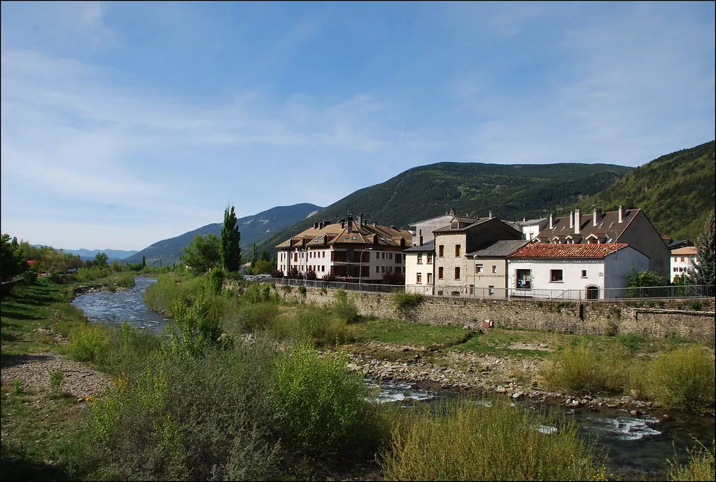
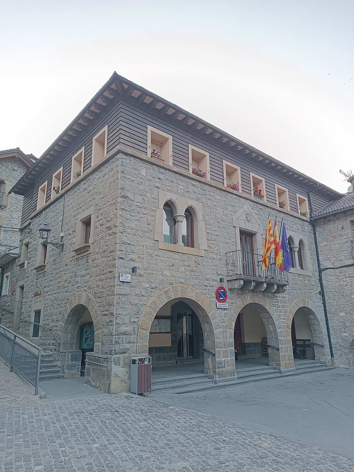
Stone streets and daily life
Panticosa’s centre is compact and set on a slope. Cobbled streets rise and fall between stone houses with dark roofs. Some still show older doorways and wooden balconies, which in summer fill with plant pots.
The Church of the Assumption stands in one of the most visible spots in the village. Its current appearance comes from several alterations over time. It is worth walking around it slowly and looking closely at the walls, where the tone of the stone shifts with the afternoon light.
At certain times of day, footsteps echo along the narrow streets. This is not a large place. It can be covered in a short time, but it rewards a slower pace.
Routes into the Tena Valley
Several paths leave Panticosa and head into the Tena Valley. Some follow the river through damp meadows, while others begin climbing almost immediately.
One of the best-known routes leads up to the ibones de Bachimaña. These high mountain lakes are a common feature in the Pyrenees. The path crosses woodland before opening into rockier ground, with wider views when the sky is clear. It is not a short walk. There is a steady incline, and it is sensible to set off with time, water and an extra layer, even in summer.
For those with more mountain experience, routes towards peaks such as Argualas require solid preparation and attention to the weather. Conditions in this area can change quickly, and that unpredictability is part of the landscape.
When winter takes over
The ski station lies above the village. In winter, the first hours of the day have a distinct sound: lift machinery starting up, boots striking hard snow, and cars making their way slowly up the road.
When the snow disappears, those same slopes are used for mountain biking and walking. The lifts often run in summer as well, helping visitors gain the first stretch of elevation and begin routes higher up.
Water nearby and practical notes
A few kilometres away, the Búbal reservoir opens up the view. On calm days, the water reflects the surrounding mountains with surprising clarity, especially towards sunset when the wind tends to ease.
The River Gállego and some of the quieter stretches nearby are used for recreational fishing, although the rules change depending on the season. It is best to check the current regulations before heading to the water with a rod.
If you arrive in August, the streets tend to be busier. This is when the village festivals usually take place, and the atmosphere shifts noticeably. For quieter walks on the paths or a more peaceful trip up to the spa, weekdays and early mornings remain the best times.
From Huesca, the usual route follows the A-23 to Sabiñánigo. From there, the road continues towards Biescas and then into the valley as far as Panticosa. In winter, it is worth checking road conditions before setting out. When snow falls, the final stretch can become slow.