Full Article
about Utebo
Hide article Read full article
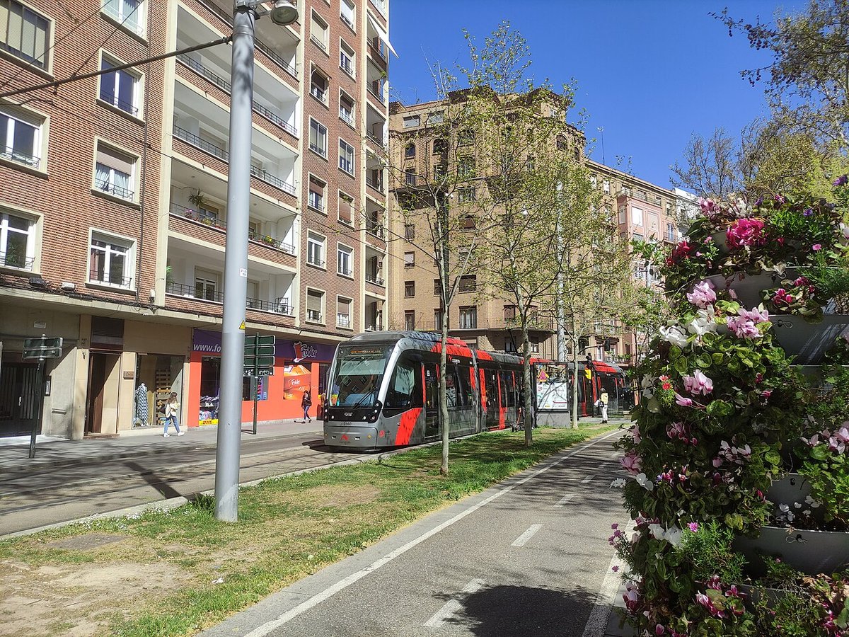
Morning light on Aragón Avenue
At half past eight in the morning, sunlight strikes the green tiles of the tower and the square fills with flashes of colour. At that hour, tourism in Utebo barely exists. Light bounces off the ceramic and climbs the façades. A tractor passes on its way to the alfalfa fields. Shutters roll up with that familiar metallic rattle, the same on a Monday as on a Sunday. From the kiosk comes the smell of strong coffee and churro dough just dropped into hot oil.
No one is in a hurry here. The station is only a few minutes’ walk away, Zaragoza sits very close, and the Ebro appears at the end of Aragón Avenue as a silver strip between rows of poplars. The sense is of a place that moves at its own pace, even with a major city nearby.
From Roman milestone to village
Beneath the Plaza Mayor, a mosaic dedicated to Bacchus was discovered, offering clues to the area’s origins. Utebo began as the eighth milestone on the Roman road that linked Caesaraugusta, present-day Zaragoza, with Astúrica. At some point in the second century, an agricultural villa likely stood near the route. Vineyards, grain, a small settlement facing the river.
For centuries the place was known simply as “Octavo”. It remained little more than a village tied to Zaragoza, with cereal fields and tithes flowing towards the city. Over time the name shifted into Utebo, and the settlement grew around the church. The Mudéjar tower had already dominated the landscape for generations by the time irrigation expanded through the Canal Imperial. With water came more houses, and streets that gradually pushed out towards the surrounding fields.
The tower of shifting reflections
Walking along Calle Mayor, the tower suddenly appears between the houses. It is not especially tall compared with others in Aragón, yet it holds the eye. Red brick, bands of glazed ceramic, and small green tiles that change with the light.
Locals often call it the Campanar de los Espejos, the bell tower of mirrors. When the sun falls at an angle, reflections move across the square as if someone were stirring water in a basin.
Inside the church, the atmosphere shifts. There is a scent of wax and aged wood. The stone ribs of the Gothic vault cross above the nave with quiet precision. Around midday, a shaft of light sometimes cuts through the apse and draws a pale shape on the floor, slowly drifting as the minutes pass.
Fields, industry and the river
From the park, it is easy to head out by bike along the paths that circle the town. Within minutes, residential blocks give way to industrial estates. Long metal-clad warehouses, silos, and lorries moving in and out towards Zaragoza.
Before this industrial landscape took shape, irrigated crops defined the area. Sugar beet carried weight here for decades. Older residents still recall early starts, tractors piled high, and whole teams working the land. Agriculture remains, but it now sits alongside workshops, storage units and logistics companies that benefit from the town’s proximity to the regional capital.
Amid all this, the river continues to appear. The Ebro flows slowly here. Tall poplars line its banks, dirt paths run alongside, and there is a damp scent that becomes more noticeable towards evening.
A pilgrimage with the smell of wood smoke
The first sign is the smell. Holm oak firewood, hot fat, almonds toasting in large pans. Then comes the sound of people walking over gravel paths.
Traditionally, at the beginning of May, the Virgen de la Blanca is carried in pilgrimage to the area of Setabia. The route is done on foot along paths leading out of the town. Whole families walk together at an unhurried pace. Some children wear new shoes that still feel stiff.
At the hermitage, simple food is usually shared. Sandwiches filled with cured longaniza sausage, prepared in family drying sheds, seasoned with black pepper and garlic. People eat standing up, looking out across the fields and towards the line of the Jalón river in the distance.
Timing your visit
Late winter and early spring bring a calm atmosphere and clear light, especially in the mornings. It is a good time to walk through the centre without much noise and then head out towards the riverside paths.
In September, the festivities of San Lamberto arrive and the town changes noticeably. There is music at night, more traffic, and some streets are closed. During those days, it is better to leave the car on the outskirts and continue on foot.
The first Sunday of May often coincides with the pilgrimage of the Virgen de la Blanca. There is a lively feel, though also more cars than usual and less space to park near the centre.
Before leaving, take one last look at the tower. As evening falls, the tiles stop throwing back flashes of light. They darken into deep green, almost black, holding the colour of the sky for a few moments as if they had absorbed it.