Full Article
about Beceite
Hide article Read full article
A village shaped by rock and river
Water runs low and clear beneath the wooden walkways of the Parrizal early in the morning, when there is barely anyone around. At that hour, the dominant sound is the Matarraña river brushing against stone. A few minutes downstream sits Beceite, still half quiet, its stone façades catching the first light of day.
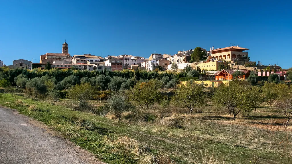
Beceite lies in the eastern edge of Aragón, close to the borders with Catalonia and the Valencian Community. The village opens out between limestone mountains and terraces of olive trees that descend towards the valley. From a distance, the tower of the church of San Bartolomé stands out above a compact cluster of houses, built from the same pale stone that appears in the nearby ravines.
Stone streets and running water
The streets in the centre are narrow and slightly uneven. The stone underfoot has been smoothed by years of passing footsteps. By mid-morning, light slips in sideways between the façades, leaving bands of cool shadow across the walls.
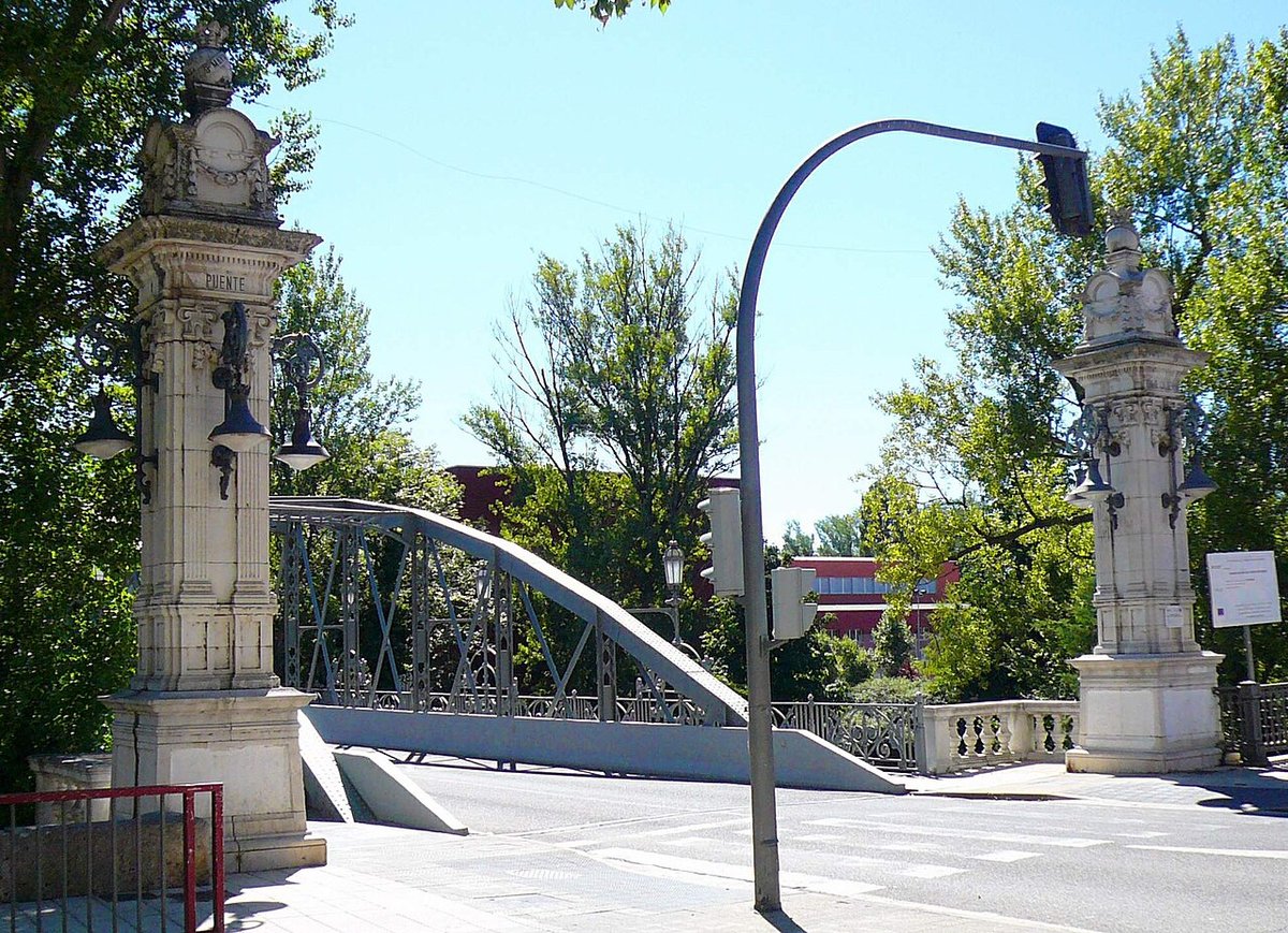
The church of San Bartolomé defines the skyline of the old town. Its baroque tower is visible from almost anywhere in the village. Nearby, small stone bridges cross irrigation channels and old canals that still carry water towards nearby vegetable plots, a reminder of how closely the settlement has always depended on its surroundings.
Walking without a fixed route often leads back to the river. Here, the restored public washhouses sit alongside the water. It continues to flow through the stone basins, carrying a faint damp smell that recalls their original use.
The Parrizal and the Matarraña’s path
A few kilometres from the village begins the access to the Parrizal de Beceite, one of the best-known walking routes in the area. The path follows the river between rock walls that, in some stretches, narrow considerably. Wooden walkways allow progress where the water fills the entire base of the ravine.
It is best to set out early during busy periods. By mid-morning the route can become crowded and the quiet disappears. On hot days, the shade from the rock walls makes the temperature more bearable than in the open valley.
The water remains cold even in summer. In some deeper pools, the colour shifts to a strong green, especially where the riverbed drops away.
The rugged landscape of the Puertos de Beceite
Beyond the valley rise the Puertos de Beceite, a rough mountain range marked by ravines, sharp rock formations and slopes covered with pines, oaks and holm oaks. From certain secondary roads, it is possible to see wild goats moving along the ridgelines with surprising ease.
The terrain here is uneven and calls for attention when walking. There are signposted routes of varying lengths. In summer, setting off early and carrying enough water is important, as shade is scarce during the middle of the day in higher areas.
Among the ravines are springs such as La Fontaneta, where water emerges through dense vegetation. These spots remain cool even during periods of strong heat, offering a contrast to the more exposed slopes.
Pools, rock faces and summer afternoons
When temperatures rise, many people head down to the river. Near Beceite, natural pools form where the current slows. Some are set between smooth rock walls and low vegetation, creating sheltered places to enter the water.
In the height of summer, these spots fill up easily, especially at weekends. During the week, or at the beginning and end of the day, the atmosphere changes and becomes noticeably calmer.
The limestone walls in the area also draw climbers. There are climbing sectors spread across the ravines, although many are somewhat hidden and require an approach on foot.
Food, seasons and local rhythm
Olive oil plays a central role in the local cooking. It comes from the olive groves surrounding the valley, planted on dry-stone terraces that shape the landscape. Cured meats are also common, alongside dishes where lamb often takes a prominent place.
In autumn, the hills change in scent. After the first rains, mushrooms begin to appear among the fallen needles in the pine forests. Many local people head out early to collect them, always with care, as not all are edible.
The main festivities usually take place at the end of August in honour of San Bartolomé. During these days, the streets in the centre become busier than usual, and residents who live elsewhere return to the village.
A small place between mountains
Beceite has just over five hundred inhabitants, and its pace shifts with the seasons. In summer and on some weekends, activity increases noticeably. Outside those periods, the village settles back into a quiet that can be felt even in the main square.
The connection with the surrounding landscape is always visible. The river, the olive groves and the nearby mountains are part of daily life. A short walk from the last houses is enough to leave behind any trace of movement and hear only the water and the wind moving through the pines.