Full Article
about Artenara
The highest village in Gran Canaria; known for its cave houses and spectacular views of the volcanic caldera and sacred roques.
Hide article Read full article
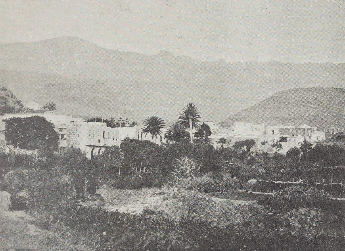
Artenara es el balcón de Gran Canaria
Llegas a Artenara y lo primero que haces es buscar el borde. No hay un cartel que lo diga, pero todo el pueblo se asoma a una repisa de la isla. Las carreteras que suben terminan aquí, y lo que queda es ese vacío inmenso de barrancos y lomas hacia abajo. La altura no es un dato, es una sensación constante.
El pueblo está a más de mil doscientos metros. Se nota en la luz, más clara y directa, y en un silencio que no es absoluto, pero sí distinto. Aquí las casas-cueva no son decorado: son viviendas. Ver una antena de televisión saliendo de una fachada de roca te lo explica mejor que cualquier folleto.
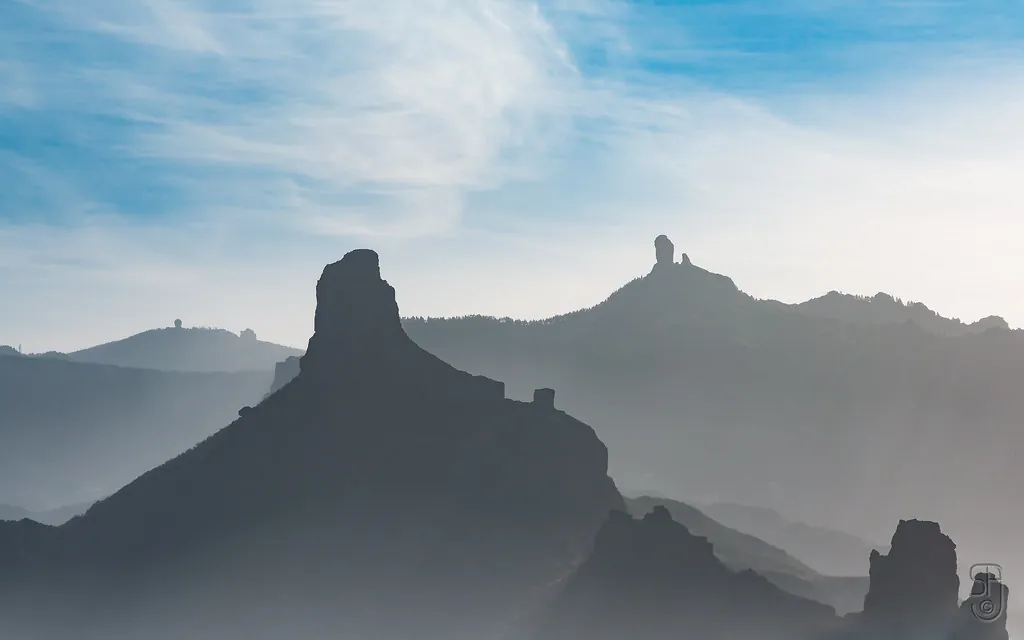
El mirador donde la gente se queda parada
El Mirador de la Atalaya tiene ese efecto: la gente llega para una foto y termina quedándose un rato sin hacer nada. La vista es amplia, como si alguien hubiera apartado los obstáculos. El Roque Nublo se ve con claridad, y en los días muy despejados, dicen que se atisba el Teide al fondo. No siempre ocurre, pero cuando pasa, lo notas porque la gente empieza a señalar al horizonte con el dedo.
Al lado del mirador hay cuevas habitadas. Algunas se pueden visitar. Entrar en una te cambia la perspectiva: por fuera parece un agujero modesto; por dentro suele haber más espacio del que imaginas y una temperatura que no varía mucho en todo el año. Tiene su lógica.
Un paisaje con memoria
Por los alrededores de Artenara encuentras restos de los primeros habitantes de la isla. En lugares como Acusa Seca ves cuevas y estructuras talladas en la ladera. Desde lejos parece un sitio improbable para vivir, pero cuando estás allí entiendes el porqué: control visual del territorio, protección natural, algún bancal para cultivar.
Hay senderos desde el pueblo hasta estas zonas. No son rutas extremas, pero el terreno tiene sus subidas y bajadas. Conviene ir con calzado que agarre bien y sin prisa; el sol a esta altura pica aunque haga fresco.
Comer como se ha comido siempre
La comida aquí va a lo práctico: papas arrugadas con mojo, queso curado local, gofio usado de mil maneras. No esperes reinterpretaciones creativas. Es la cocina de siempre, hecha con lo que hay cerca. Te llena bien, pero después sueles tener ganas de moverte… lo que en Artenara significa afrontar otra cuesta.
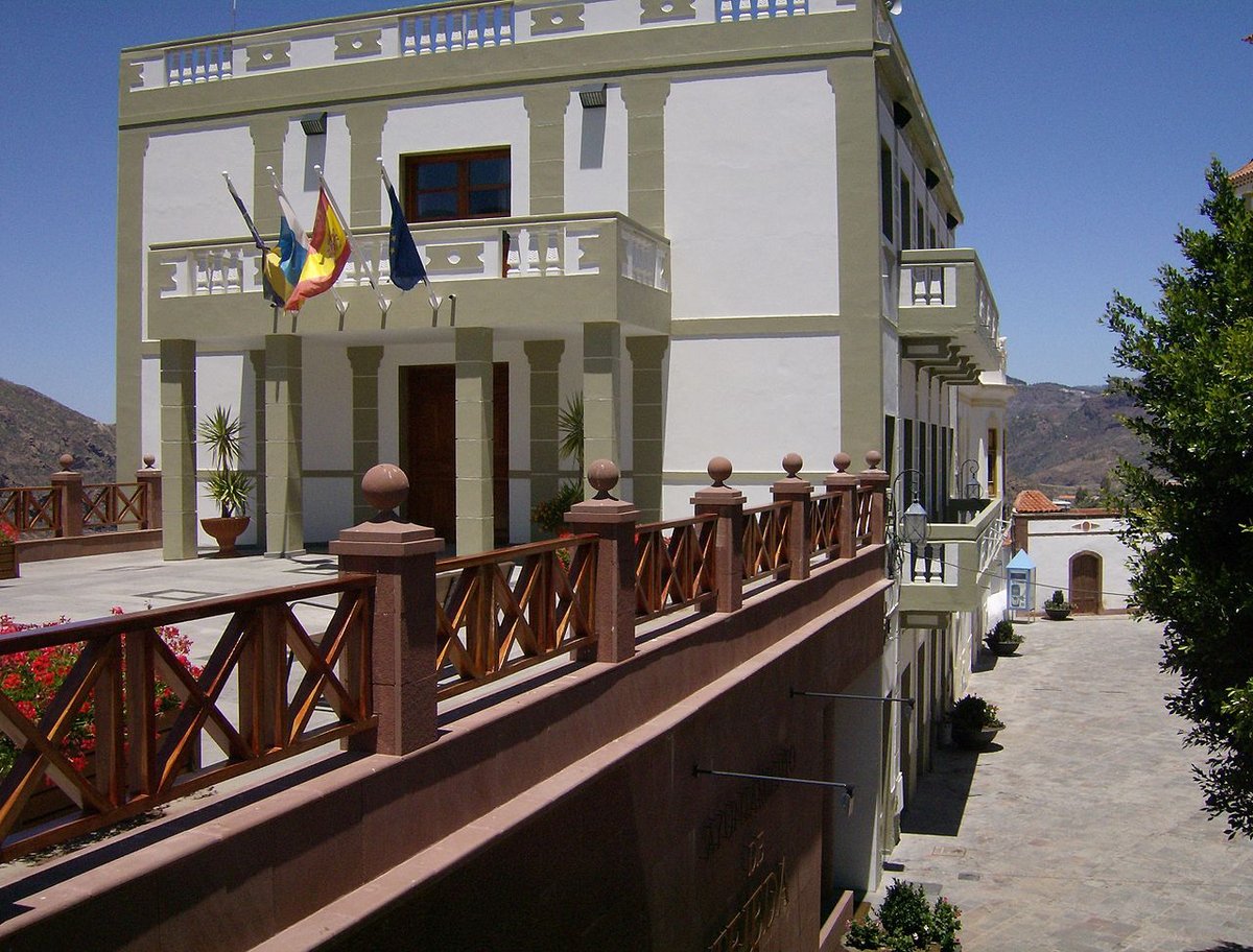
El centro pequeño y lo que hay alrededor
El núcleo del pueblo se recorre rápido. La plaza junto a la iglesia funciona como lugar de paso: vecinos charlando, algún coche aparcando brevemente, caminantes reorientándose.
Desde ahí se alcanzan varios miradores y las calles cercanas invitan a un paseo corto. Todo está cerca, así que enseguida vuelves sobre tus pasos.
La clave está en salir un poco de ese círculo inmediato. Si te quedas solo en la plaza, Artenara puede parecerte minúsculo. Pero si te alejas unos minutos por cualquiera de los caminos —hacia otros caseríos o simplemente por la carretera— el escenario se abre: pinos, más barrancos, curvas con vistas inesperadas.
Los días claros regalan horizontes largos. Los días nublados tienen otro tipo de espectáculo: ver cómo el mar de nubes sube por los barrancos es como asistir a una marea lenta que inunda el interior de la isla.
Si vas a subir (cosas útiles)
Desde Las Palmas se tira algo más de una hora por carretera de montaña. Hay curvas, pero también tramos rectos donde puedes disfrutar del paisaje sin clavarte tanto en el volante.
Aparcar en el centro mismo es complicado; mejor dejar el coche en alguna zona habilitada un poco antes y terminar a pie.
Trae algo de abrigo aunque sea verano. A esta altitud refresca rápido cuando cae el sol.
Y un último apunte sobre los miradores: aquí conviene tener paciencia. Puede llegar un banco de nubes y taparlo todo durante diez minutos… para luego abrirse de golpe y mostrar el paisaje completo otra vez. Eso no es una excepción; forma parte del ritmo del lugar