Full Article
about El Tanque
A small mid-altitude municipality with a strong rural character, known for its natural landscapes and hiking trails among volcanoes.
Hide article Read full article
A different face of Tenerife
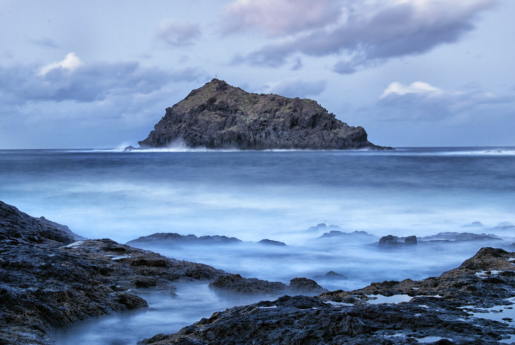
El Tanque makes more sense when seen on a map. The municipality sits on the north side of Tenerife, within the Isla Baja region, halfway between the coast and the higher ground where pine forests begin. This is not the version of the island many people expect. The sea is not visible from every corner, and the landscape feels shaped more by altitude and weather than by beaches.
From La Laguna, the TF-5 heads northwest and the scenery shifts gradually. Agricultural plots appear, some still cultivated while others lie fallow. Deep ravines cut through the terrain, and moisture arrives with the trade winds. At around 500 metres above sea level, clouds often settle into the valley and linger. Older documents even referred to this area as a land of cloud cover, a description that still feels accurate.
The reservoir behind the name
The name El Tanque is linked to a water reservoir built after the Castilian conquest, probably in the 16th century. In volcanic terrain where water drains away quickly, any system for storing it was essential for agriculture and survival.
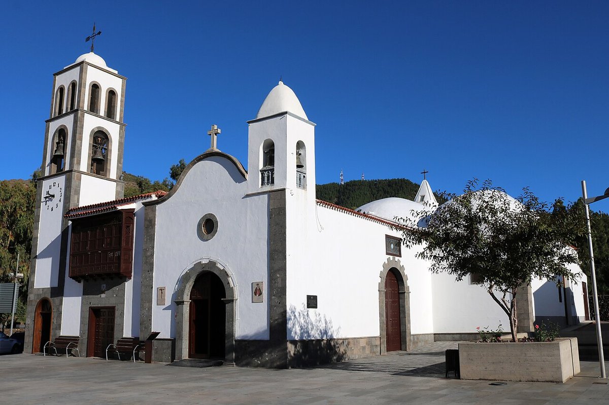
The historic centre is organised around the church of San Antonio de Padua. An earlier hermitage once stood here but was destroyed during the Trevejo eruption in 1706, the same event that buried the old port of Garachico. The current church began construction some decades later. Its design is restrained and typical of rural religious architecture in the Canary Islands: thick walls, a tiled roof, and a modestly sized tower.
Inside, the Chapel of the Rosary remains from the 18th century. Its gilded altarpiece hints at the connections these inland parishes maintained with the trading routes that passed through northern Tenerife’s ports. Even in a relatively isolated setting, influences travelled inland along with goods and ideas.
Land shaped by lava
El Tanque covers just over twenty square kilometres, yet within that space several protected natural areas meet. To the west lies the Parque Rural de Teno, where sections of old bridle paths still survive. These routes once linked villages long before the current road network existed.
To the south, the landscape tells a more recent story. The surroundings of the Chinyero volcano were formed by its eruption in 1909, the most recent recorded in Tenerife. Lava flows moved down the slopes and approached parts of the municipality. Local tradition says that the Virgen del Buen Viaje stopped the advance. Geology offers a simpler explanation: the lava front eventually cooled and solidified.
Today, this terrain of dark volcanic rock and young pine forest can be explored via marked trails. These paths begin in San José de Los Llanos and extend into the volcanic field. They are straightforward to follow, crossing areas of Canary Island pine and low shrubland. In spring, plants such as taginastes and codesos appear among the blackened ground, adding seasonal contrast to the stark setting.
Threshing floors and rural life
In the mid-altitude areas of El Tanque, a distinctive agricultural landscape has been preserved. From the La Atalaya viewpoint in the upper part of the municipality, numerous threshing floors can be seen scattered across the slopes. Some accounts speak of dozens, others of hundreds. Each one is a circular stone surface once used to separate grain from straw after harvest.
For centuries, this area was known for producing cereal for much of northern Tenerife. Wheat was grown on terraced fields, and threshing was carried out with animals and wooden tools. That system has largely faded, and agriculture today is more limited. Even so, small plots of potatoes and vegetables remain, alongside modest livestock farming.
San José de Los Llanos is also home to a small ecomuseum dedicated to these traditional practices. Demonstrations of threshing are occasionally organised there, keeping the memory of this agricultural way of life active rather than purely historical.
When devils fill the streets
September brings the main local festivities, dedicated to the Virgen del Buen Viaje. On the eve of the celebration, one of the municipality’s most distinctive traditions takes place: Las Libreas.
This event features the so-called diablos de fuego and the caballitos. These are structures made from cardboard and wood that move through the streets surrounded by sparks and firecrackers. Participants walk through the town carrying bells and torches, dressed in costumes that combine religious references with clearly popular elements. The atmosphere is intense and rooted in older forms of celebration.
Similar festivities once existed in other parts of the Canary Islands, although many have disappeared over time. In El Tanque, Las Libreas continues because it is organised and maintained by the local community itself, rather than adapted for outside audiences.
Getting there and what to expect
El Tanque lies in the northwest of Tenerife, less than an hour by car from Santa Cruz. The usual route follows the TF-5 towards Icod de los Vinos, then climbs inland along roads leading up to the midlands.
The climate is cooler than along the coast. Even during summer, cloud cover can settle over the higher areas and lower the temperature. A warmer layer is useful when walking in the upper parts of the მუნიციპალ or heading towards the Chinyero area.
This is a place to explore at an unhurried pace, whether over a morning or an afternoon. Large monuments are not the focus here. The interest lies in reading the landscape itself: threshing floors, terraces, traces of lava, and the persistent presence of clouds.