Full Article
about Valverde
Capital of El Hierro; the only landlocked capital in the Canaries; quiet, administrative hub with access to the port and airport.
Hide article Read full article
A capital above the clouds
Something stands out on arrival in Valverde: the capital of El Hierro is nowhere near the sea. It sits about 600 metres above sea level, in the north-east of the island, among damp hills where the trade winds often bring mist for much of the year. It is the only capital in the Canary Islands located inland. That decision, taken centuries ago, explains much of what the municipality is today.
The town centre is small. Streets climb and dip, lined with low houses topped with traditional Arab tiles and the occasional sheltered courtyard tucked out of the wind. Early in the morning, the soundscape is more cockerels than traffic. Although the island’s administrative life runs through Valverde, the atmosphere still feels distinctly local.
The town that stayed uphill
The reason lies in history. After the Castilian conquest of El Hierro in the 15th century, a site was sought that would be protected from attacks, which were common along the coast. The Bimbache settlement of Amoco already occupied this inland area, relatively sheltered. It was here that the nucleus of what would become Valverde was established.
While other island capitals grew around their ports, Valverde remained in the midlands. Maritime trade took place elsewhere on El Hierro. Here, administration, the parish and the homes of those who worked the surrounding land took root.
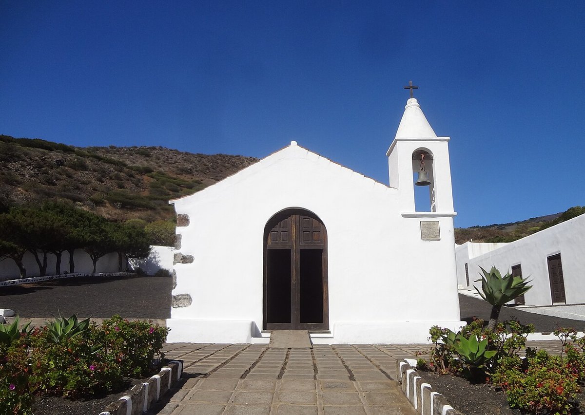
At the centre of the town stands the church of Santa María de la Concepción. The current building dates from after the fire of 1899, which destroyed a large part of the town. Its tower, built from dark volcanic stone, remains the visual reference point on the approach by road. From the square, the scale of Valverde becomes clear: a compact cluster shaped by the slope it sits on.
Vines among the lava
A short drive away, the landscape shifts. The district of Echedo preserves one of El Hierro’s traditional wine-growing areas. Vines grow among dry-stone walls and ancient lava flows, at a higher altitude than many would associate with the Canary Islands.
Varieties such as Listán blanco and Negramoll are cultivated here. The soil is scarce, and many vines are planted wherever a spade can find space between the hardened lava. In some cases, presses carved directly into the rock are still used, a practical solution for maintaining a stable temperature during fermentation.
The PR EH 01 footpath, known as the Ruta de Los Sentidos, passes through this area. It follows old agricultural paths and can be completed in a couple of hours at an unhurried pace. More than anything, it offers a way to understand how this part of the island has been worked over time.
The Bajada and old routes
Valverde is also the starting point for the Bajada de la Virgen de los Reyes, held every four years. For a few days, the image remains in the town’s church before beginning a journey across different parts of the island.
The route includes the descent via Jinama, an ancient passage that connects the central plateau with the El Golfo valley. The stone steps used by walkers today are often said to follow paths that predate the conquest.
Outside the years when the Bajada takes place, there are still walking routes nearby. The path to La Peña, PR EH 02, climbs towards a viewpoint designed by César Manrique in the early 1990s. The intervention is understated, with spaces carved into the rock and a terrace that opens out over the El Golfo valley.
Cooking close to the land
In the main square, a small weekly market brings together many of the products that continue to support the local economy. Cheeses from El Hierro made with raw goat’s and cow’s milk appear alongside potatoes grown on the island and palm honey brought from the south.
Rancho herreño is still prepared for celebrations and family gatherings. It is a thick stew made with chickpeas, wheat and meat. The island’s version of bienmesabe usually includes ground almonds and palm honey, spread over thin wafers. These recipes are tied to the agricultural calendar and to what the land provides at different times of year.
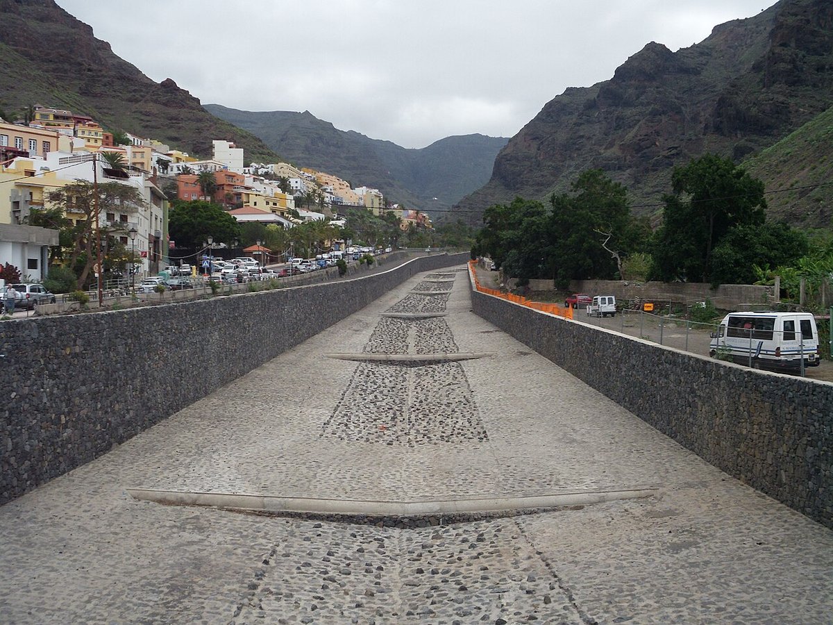
Getting there and around
El Hierro Airport lies within the municipality of Valverde, although at a lower altitude and with a drier climate. It is not unusual to land in sunshine and then find mist on the way up to the town.
The HI‑1 road connects the two in around ten kilometres of bends. The centre itself is easy to explore on foot. Even in warmer months, it is worth bringing an extra layer. When the trade winds arrive, temperatures drop quickly and the humidity is noticeable.