Full Article
about San Andrés y Sauces
Agricultural heart of northern La Palma; home to Los Tilos forest and the natural pools of Charco Azul.
Hide article Read full article
A greener corner of La Palma
San Andrés y Sauces feels like one of those places where a cloud is always about to settle overhead. You can be driving through the north-east of La Palma under clear skies in Santa Cruz, then suddenly everything shifts. The light softens, the air turns damp, and the landscape deepens into dark green, as if the island had been watered for centuries.
Banana plantations stretch across the slopes, ravines cut through the terrain, and water seems to appear almost everywhere. The town emerges quietly among all this, and the first impression is simple: this is why everything grows so well here.
Daily life reinforces that feeling. A neighbour might be loading ñame, a root vegetable, into the back of an old van. Someone else might be repairing an irrigation channel at an unhurried pace. It does not feel staged. Life just moves differently here.
Living close to water
The island’s original inhabitants called this area Adeyahamen, often translated as “under the water”. The name does not mean the town is submerged, but it captures how present water is in the landscape. Clouds gather against the mountains, ravines stay damp, and springs appear in unexpected places.
That constant moisture shapes everything. Banana plantations cover much of the coast, while inland conditions allow crops that would struggle elsewhere in the Canary Islands. Ñame is a good example. It appears frequently in local cooking and has been part of the area’s diet for generations. People from the municipality are sometimes nicknamed ñameros, and it is not taken as an insult.
For centuries, San Andrés, the settlement by the sea, was the main centre. In the late 19th century the municipality was granted city status by royal decree. Today that title can sound a little grand for the size of the place, but at the time this corner of La Palma had a lively agricultural and port economy.
The forest where signal fades
Bosque de Los Tilos offers one of the clearest ways to understand this part of the island. It is not just a pleasant woodland. It is one of the most important remaining areas of laurisilva, a type of subtropical forest that once covered much of the Canary Islands.
The atmosphere inside is unmistakable. The forest stays humid almost constantly. Large ferns spread out under trees with glossy leaves, and water drips from branches even when there has been no recent rain. Phone signal often disappears, and it quickly stops mattering.
A walking route passes through this area and climbs towards Casa del Monte. The path runs for several kilometres, crossing tunnels carved into the rock and following old channels that once carried water to farmland. The walk is not especially difficult, though a waterproof jacket is useful. Light drizzle can appear here even when forecasts suggest clear skies.
Puerto Espíndola and the sea
Before roads properly connected the north of La Palma, the sea provided the main access to San Andrés y Sauces. Goods arrived at Puerto Espíndola and then made their way up to inland settlements.
The port today is small and quiet, more suited to a stroll than to heavy maritime traffic. Even so, it still carries a sense of its past, when it served as a point of entry and exit for the area.
Nearby, rum continues to be produced in a traditional way. This links back to the sugar cane that was cultivated on the island for centuries. The connection between agriculture and local industry remains visible.
In summer, the atmosphere changes around the festivities of the Virgen del Carmen, a figure closely associated with the sea in many Spanish coastal communities. During these days, the image is brought down to the port and the area becomes much livelier than usual.
Lava pools and traces of the past
The coastline here is shaped by lava rather than sand. As a result, the most well-known place for a swim is Charco Azul, a group of natural pools formed among volcanic rock.
Atlantic water flows directly into these pools and tends to feel cool, as it does across much of the island. It can take a moment to adjust, but watching the locals helps. They step in without much hesitation, which usually says enough.
Close by stands the archaeological park of Cueva del Tendal. These natural caves were once inhabited by the benahoaritas, the pre-Hispanic people of La Palma. The site is not monumental in scale, yet it gives a useful sense of how life might have been on the island before the conquest.
Local flavours
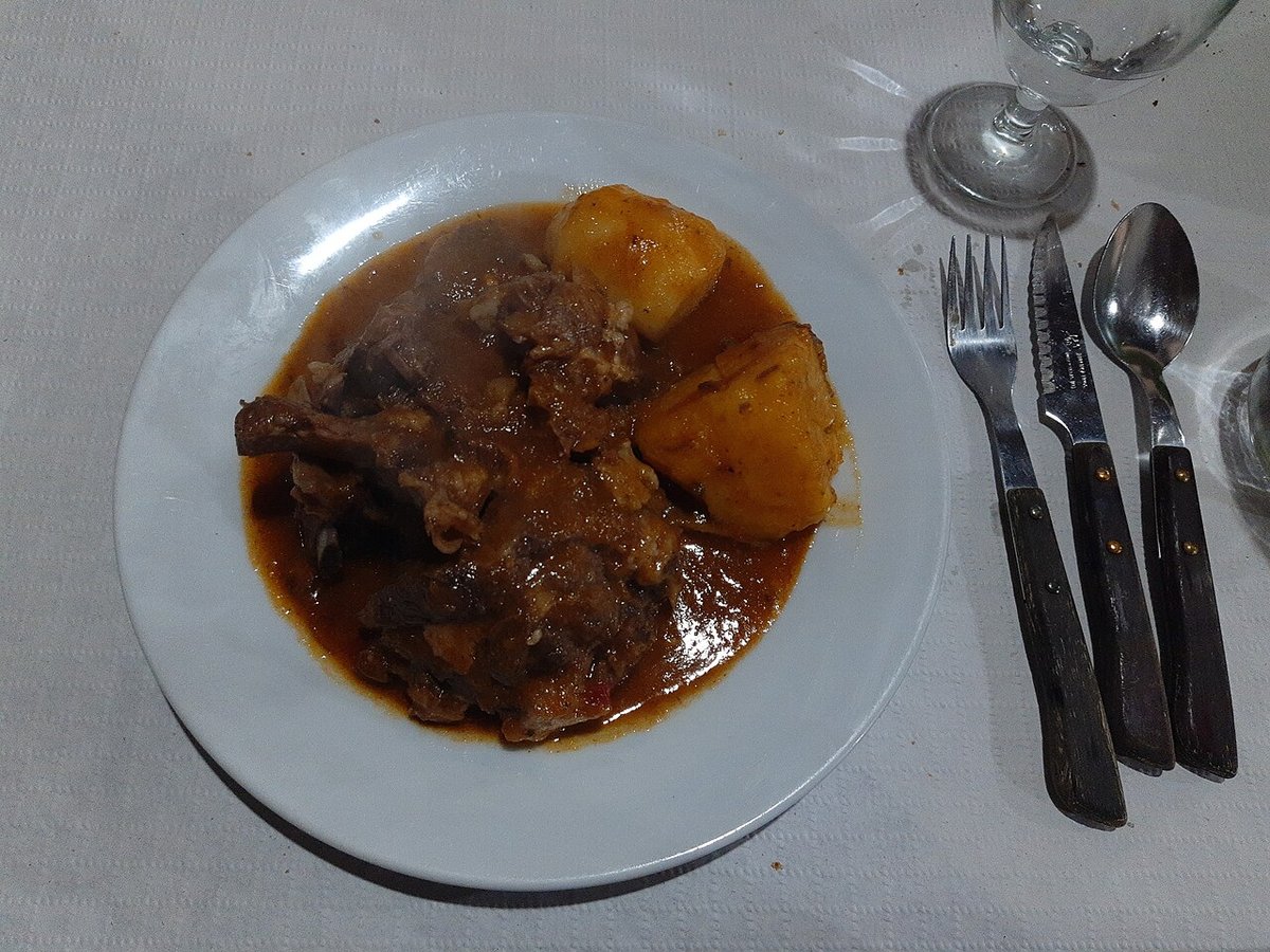
Food in San Andrés y Sauces keeps things straightforward. Local ingredients take centre stage, and preparation tends to be simple.
Ñame appears frequently, either boiled or fried. Its texture is somewhat similar to potato, though denser. Along the coast, especially near the port, local fish is common. Names such as vieja, sama or cherne may sound unfamiliar at first to visitors, but they are part of everyday cooking here.
Gofio also plays its role, as it does across the Canary Islands. In the municipality there is a small traditional mill where the process is explained, from toasting and grinding maize, known locally as millo, to producing the flour. Gofio then finds its way into many dishes, from broths to desserts, sometimes mixed with honey or milk.
Taking the time to stay
San Andrés y Sauces is not a place for a quick stop and a couple of photos before moving on. That approach only scratches the surface.
A slower visit makes more sense. Spend time walking through Los Tilos, head down to the port towards the end of the day, explore the pools along the coast, and sit down for something to eat. The rhythm of the place reveals itself gradually, shaped by water, weather and a way of life that has not rushed to keep up with elsewhere.