Full Article
about Vallehermoso
The island’s largest municipality; home to Roque Cano and landscapes ranging from forest to coast.
Hide article Read full article
A valley framed by ravines and rock
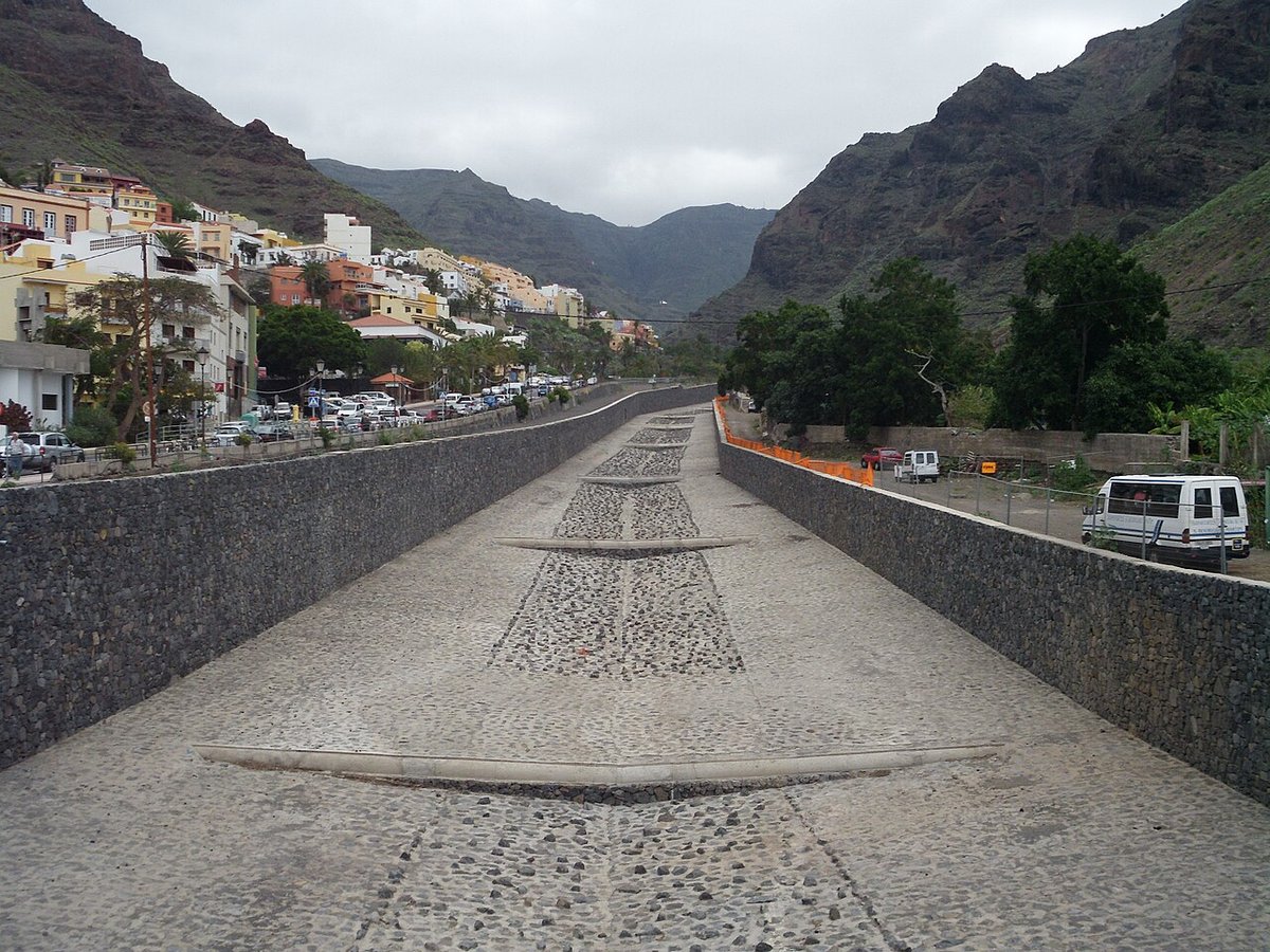
To understand Vallehermoso, start with the ground under your feet. The town occupies the base of a deep northern valley on La Gomera, its streets and houses forced into terraces by the steep slopes that rise on all sides. From the mirador de Los Barranquillos, you see the layout clearly: the urban centre is wedged between two ravines, with the volcanic plug of Roque Cano standing sentinel in the background. That rock is a constant, visible from almost every street.
The geography here dictates the rhythm. Roads and paths follow the contour lines, and even views out to the sea feel framed by the valley's walls. This isn't scenery; it's the structure of daily life.
The valley that gave the town its name
After the Castilian conquest of La Gomera, new settlers came looking for reliable water. They found it in this valley, or barranco. Small-scale irrigation channels supported crops—first sugar cane, later vines and fruit trees. For a time, wine from this area travelled on Atlantic trade routes.
The parish church of San Juan Bautista dates from that period of agricultural growth, replacing an earlier hermitage. Its current form shows later modifications, most notably in the façade of dark, local basalt. The building's significance was always communal: for scattered farms across the slopes, it was a fixed point for gathering.
A wide municipality on a small island
Vallehermoso covers a large part of La Gomera. Its territory includes distant hamlets like Alojera, Arguamul, Chipude and El Cercado, connected by roads that twist through ravines. The coastline here is abrupt, with no natural harbours to speak of, which long made travel an undertaking. For centuries, communication meant taking mule tracks up into the highlands and down into the next valley.
The proper road connecting the town to the rest of the island didn't arrive until the 20th century. You can still feel that historical separation.
Paths through laurisilva and volcanic forms
Some of those old paths are now walking routes. They link the town centre to neighbouring villages, sometimes passing through sections of laurisilva, the humid evergreen forest that cloaks the island's northern heights.
Roque Cano can be reached on foot via agricultural paths that climb past smallholdings and old terraces. It's a protected natural monument and the climb gives you its measure. Further inland, near Chipude, lies La Fortaleza, a large volcanic dome that held importance for the island's original inhabitants. The landscape shifts rapidly here; you can go from sea level to near-summit elevations in a handful of kilometres.
Palm syrup, goats and a practical cuisine
The local cooking follows what the land provided. You'll find gofio, often as escaldón served with broth or fish. Papas arrugadas with mojo are standard, alongside cheeses made from local goats.
In Alojera, they still produce miel de palma. It's not honey, but a syrup made by reducing the sap—guarapo—of the Canary Island palm over heat. The process is slow, dependent on the skill of the palmereros. The food here speaks of making do, not innovation.
Bonfires and neighbourhood rivalries
The festival of San Juan Bautista in late June pulls the town together. A noted tradition involves the rivalry between the Triana and La Plaza neighbourhoods, split by the Barranco Macayo. Each builds its own bonfire on San Juan's night, and the size and spectacle of each become a topic of ritual comparison.
Elsewhere in the municipality, romerías and patron saint days in Chipude or Alojera serve a similar purpose: maintaining links between settlements that were once profoundly isolated.
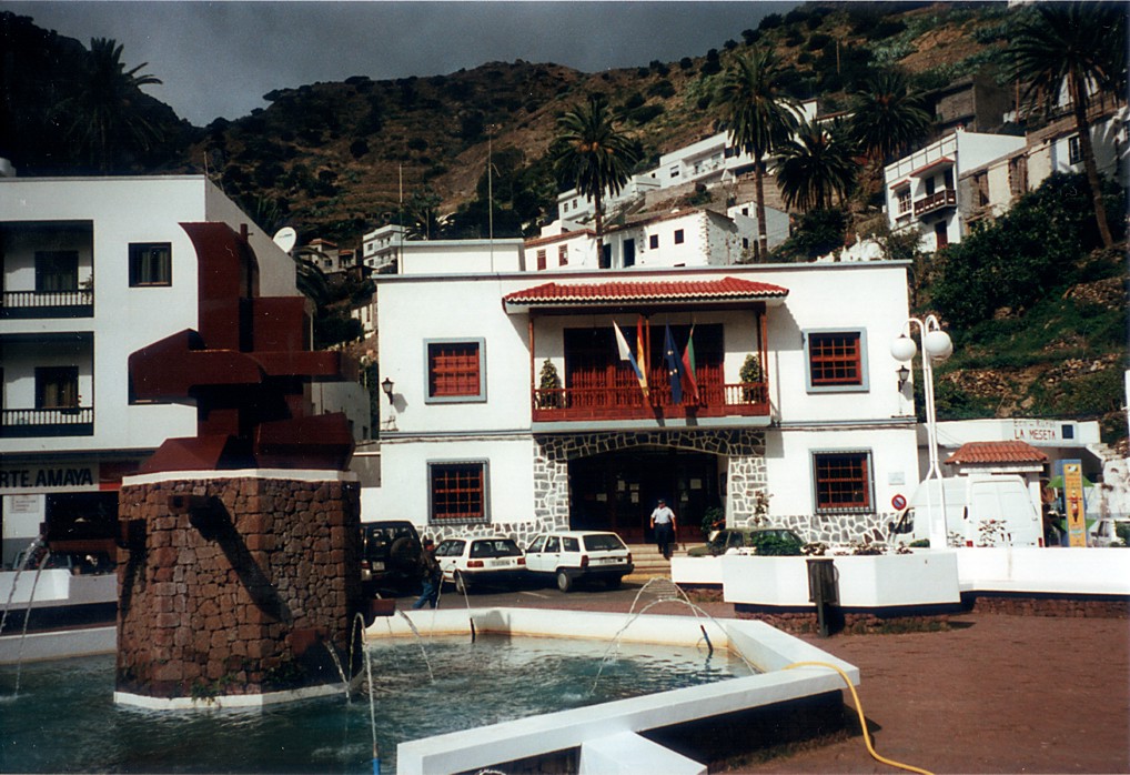
Moving through Vallehermoso
The town centre is walkable. You can see the main square, the church, the viewpoints over the ravine, and the climbing streets toward the old farming quarters in an hour or two.
To understand the municipality, however, you need a car. Hamlets like Alojera or Chipude are several kilometres out, reached via mountain roads that trace the folds of the terrain. The distances aren't vast, but the roads make them feel longer, echoing the isolation that has always shaped life here.