Full Article
about Tinajo
Volcanic municipality par excellence; gateway to Timanfaya; known for farming in ash and the chapel of los Dolores
Hide article Read full article
By mid-afternoon in Tinajo, the wind tends to shift. It arrives drier, pushing in from the island’s interior, carrying that mineral scent that lava takes on after a full day under the sun. From the area of Mancha Blanca, the light falls at an angle across fields of black picón, the fine volcanic gravel that defines much of Lanzarote’s landscape. Cardón cacti cast long shadows over the ash, and if you look west, the terrain resembles wrinkled skin stretching towards the sea. In that moment, Tinajo makes more sense: a town settled on land that split open and then sealed itself again.
Time Measured in the Ground
Here, the passing of years is less visible in buildings than in the terrain itself. Much of the municipality was shaped by the 18th-century eruptions that created what is now Timanfaya. Older residents still speak of those lava flows as if they were recent events. Many families know exactly which part of their land disappeared beneath them.
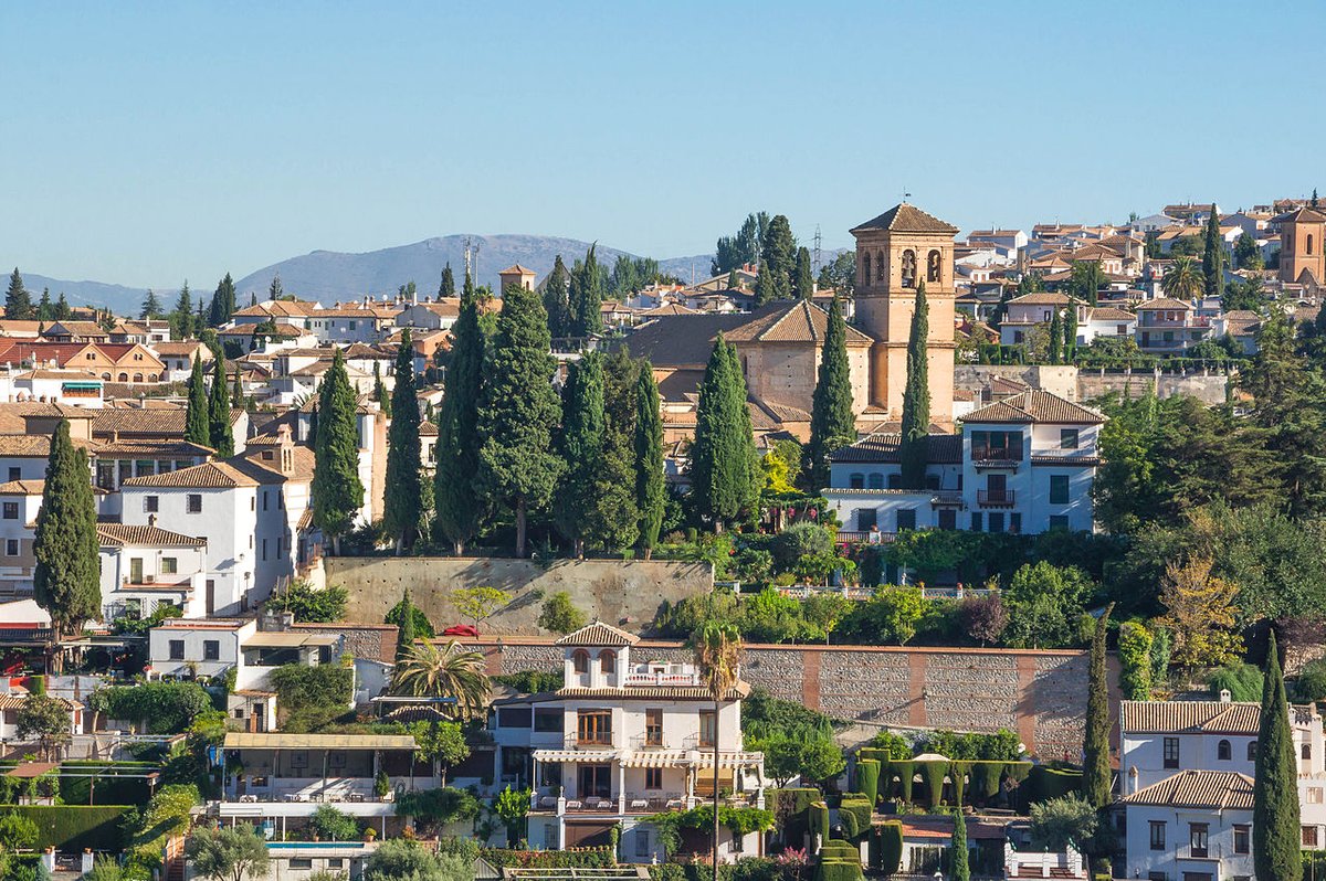
At the centre of the town stands the church of San Roque, its white façade set against the clear skies typical of this part of Lanzarote. Around it are quiet streets, low houses and courtyards where you might hear chickens or the sharp bang of a door when the wind picks up. The square offers enough shade to sit for a while, something to appreciate when the sun is directly overhead and the reflection from the picón intensifies the light.
Tinajo keeps the rhythm of an agricultural place that never entirely faded. Conversations turn to the harvest, to how strongly the wind has blown this year, to the state of the fields in areas like La Vegueta or El Cuchillo. The volcanoes are always visible, yet they sit in the background of daily life rather than dominating it.
Walking Across Old Lava
Several paths lead out towards the volcanic hills surrounding the municipality. Some are not especially well marked, so it is worth carrying a map or a downloaded route on your phone. The terrain can be deceptive. From a distance it looks flat, but loose picón and older lava flows make progress slower than expected.
Climbing one of the nearby hills changes the perspective considerably. From above, Timanfaya National Park stretches out as a sequence of dark and reddish ridges with very little vegetation. When the air is clear, the line of the Atlantic appears to the west, while inland you can pick out the white villages scattered across the island.
It is best to walk early in the day. From midday onwards, the sun reflects off the lava and heat gathers between the الصخور, even in winter.
What’s Eaten When the Trade Winds Blow
Food in this area remains closely tied to simple ingredients. Gofio escaldado appears on many tables. This traditional dish is made by mixing toasted maize flour, known as gofio de millo, with hot broth until it thickens. It is served in a gánigo, a traditional clay bowl, and eaten slowly by the spoonful while outside the wind moves through the prickly pear plants.
Jareas, fish that has been split open and air-dried, are still prepared in some households when the trade winds become more constant. Hung on wooden or metal frames, they dry over several days with the help of sun and wind.
Goat’s cheese also plays an important role in the area. Across Lanzarote, it is common to find fresh or semi-cured cheeses with a slightly salty edge that reflects the dry land where the goats graze. At local gatherings and fairs held at different times of year, producers from around the island bring their cheeses to be cut and tasted on the spot, with little ceremony.
Mancha Blanca and the Memory of the Volcano
In Mancha Blanca stands the chapel of Nuestra Señora de los Dolores, closely linked to the island’s volcanic history. According to local tradition, residents built a stone wall and prayed for the lava to stop before reaching the remaining crops. In that shared memory, the flow halted there.
Each September, a romería, a traditional pilgrimage-style celebration, brings together people from across the island. On that day, the dark landscape fills with carts, traditional dress and the sound of the timple, a small stringed instrument typical of the Canary Islands. It is one of the few times when Tinajo loses its usual quiet.
For the rest of the year, the open ground around the chapel remains calm. Mostly just the wind, and the occasional car stopping briefly before continuing towards Timanfaya.
When to Come and What to Keep in Mind
March and April are often particularly pleasant, with mild temperatures and a touch more green at the edges of the fields if winter has brought some rain. In summer, the sun is intense and there is very little shade outside the town centre.
If you plan to move around the municipality and nearby villages, travelling by car is the most practical option. Distances are not large, but public transport runs infrequently.
One thing becomes clear quickly: the wind is part of the landscape here. Some days it blows so steadily that it sets the pace of everything, from how people walk along the street to the sound of doors as they close.