Full Article
about Tías
Tourist municipality home to Puerto del Carmen, Lanzarote’s main leisure and beach area; it still has a traditional inland village.
Hide article Read full article
Tías: La Geria and the Coast
The airport of Lanzarote sits within the municipal boundaries of Tías. This fact explains much of its recent history. The territory gathers more than half of the island’s registered tourist accommodation, a concentration that began decades ago, before the current infrastructure was fully developed. Visitors arrived, and the land was reorganised around them. The result is a clear geography: a busy coastline, and just inland, the silent, engineered landscape of La Geria’s vineyards. Both exist within the same few kilometres.
A Landscape Forged by Fire
The Timanfaya eruptions, between 1730 and 1736, covered this area in lapilli—porous volcanic gravel. Agriculture had to adapt or disappear. The solution was the zoco: a hollow dug several feet into the ash, with a single vine planted at the bottom and protected by a semicircular stone wall. This method conserves nocturnal humidity and shelters the plant from wind. What began as necessity created the visual pattern of La Geria: a geometric expanse of black circles, each holding a green vine. It is a working landscape, not a designed one. The system persists because the land offered few other options.
Puerto del Carmen: The Developed Shore
Until the 1960s, this was a fishing settlement called El Muellito. The change to Puerto del Carmen coincided with the first tourist apartments. Growth followed the coastline, which is geologically straightforward here: long beaches of gold sand interrupted by low volcanic rock formations. A continuous seafront promenade links the bay for kilometres. It functions as a main artery, with no clear separation between zones for visitors and residential areas. The population is officially above ten thousand, though many homes are seasonal. The atmosphere shifts with the time of day and the strength of the northeast wind, which typically picks up in the afternoon.
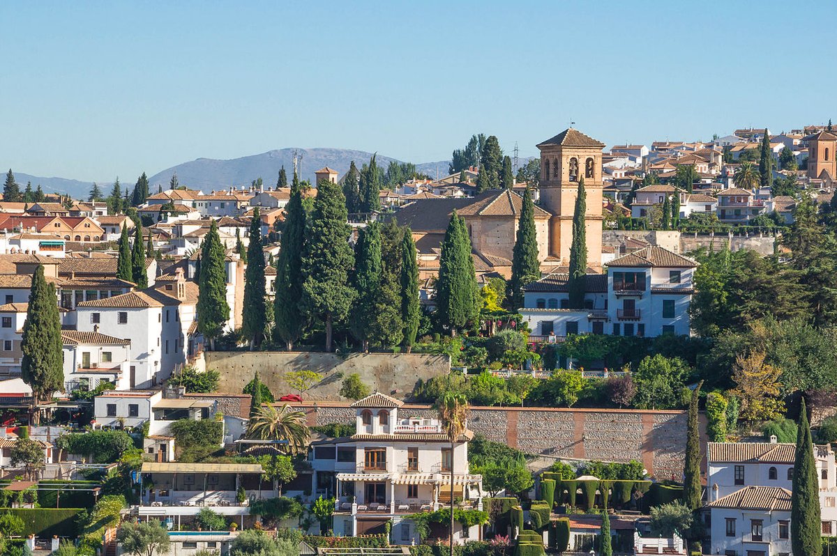
The Town of Tías and Inland Life
Eight kilometres from the coast, Tías retains the structure of an inland agricultural town. Streets are narrow, arranged around the church of Nuestra Señora de la Candelaria. The current building dates from the 18th century, though a chapel stood here earlier. Its exterior is plain whitewash; inside, it houses a baroque altarpiece and several carved wooden images. The square outside remains a social point, especially during the February festivities for the patron saint, which follow a local calendar.
Other villages like Mácher, Conil, and La Asomada dot the interior. Some hold romerías linked to the agricultural year, events where any visitors present participate alongside residents. Life here follows a rhythm less affected by seasonal tourism, more connected to land and tradition.
Walking the Volcanic Terrain
To grasp the scale of La Geria, walk through it. A path between the Volcán del Cuervo and Masdache crosses the vineyard fields. The repetition of the stone zocos becomes palpable. Near Masdache, a short detour leads to the Cueva de los Naturalistas, a volcanic tube where the temperature drops noticeably—a sharp contrast to the sun outside.
For a coastal walk, the route from Puerto del Carmen towards Playa Quemada follows basalt cliffs. It is exposed, with little shade, but provides open views of lava flows meeting the Atlantic. Here, the volcanic origin of the island is raw and unmodified, unlike the cultivated order of La Geria.
Movement and Time
In Puerto del Carmen, the promenade makes walking practical for most needs. To reach Tías town or explore La Geria properly, public buses run, but services reduce on Sundays. A car offers more freedom to connect the dispersed villages and vineyard bodegas across the municipality.
There is no single best season. Visitor numbers fluctuate—more northern Europeans in winter, more mainland Spanish in summer—but the flow is constant. This continuity shapes daily life along the coast, while inland, the older rhythms of the land persist alongside it.