Full Article
about Yaiza
Awarded white village for its beauty; municipality home to Timanfaya National Park and Papagayo beaches
Hide article Read full article
A village shaped by lava
Any account of tourism in Yaiza starts with its geography. In the south of Lanzarote, almost everything is defined by lava. The municipality developed on a relatively habitable strip between old flows, close to the coast and near the routes that once connected this part of the island with its southern tip. By the time Europeans reached Rubicón in the early 15th century, Yaiza already existed as a small agricultural settlement.
That coastal point held importance for a period. Rubicón became the site of the first diocese in the Canary Islands. The former church of San Marcial, now a modest chapel, recalls this early stage of the Castilian conquest. The current building is simple and has undergone several alterations, yet the location retains its historical weight. From here, the ecclesiastical organisation of the archipelago began.
After Timanfaya
The eruptions of Timanfaya in the 18th century reshaped the south of Lanzarote in a drastic way. Lava covered entire fields for years and buried nearby villages. In Yaiza, the impact was uneven. Some land became unusable, while other areas escaped by a narrow margin.
A local parish priest, Andrés Lorenzo Curbelo, recorded those years in a diary. His notes describe the constant noise of the eruptions, the smell of sulphur and the fear felt by residents. Even so, the village was not abandoned.
When volcanic activity came to an end, agriculture adapted. In many areas, crops began to be planted in pits dug into lapilli, the small volcanic stones that cover the ground. These pits were protected by low, semicircular stone walls. The system can still be seen across large parts of the municipality and forms a key part of the agricultural landscape in the south of the island.
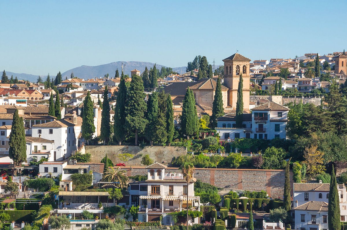
The village centre and Nuestra Señora de los Remedios
The centre of Yaiza has a calm scale. Streets are short, houses remain low and whitewashed, and interior courtyards are sheltered from the wind. It is not a monumental historic quarter, but it follows the traditional rural architecture of Lanzarote in a consistent way.
At the highest point of the village stands the church of Nuestra Señora de los Remedios. Much of the current structure dates from the 17th century, although later changes have been made. Inside, there is a wooden roof made from tea wood, a type of pine typical of the Canary Islands, along with a gilded altarpiece brought from mainland Spain in the modern period.
The square in front of the church acts as a meeting place. During the festivities dedicated to the municipality’s patron saint, much of the social life of Yaiza and its surrounding districts gathers here.
Salt flats and volcanic coast
To the west lies one of the best-known landscapes in southern Lanzarote. The Salinas de Janubio were created by making use of a coastal lagoon that formed after the volcanic eruptions of the 18th century. A system of stepped ponds allows seawater to evaporate gradually until salt crystallises.
Production continues using traditional methods. The process has changed very little over time: seawater enters, evaporation happens slowly, and the salt is collected by hand when conditions allow.
Close by is El Golfo, a small settlement beside the coast. Next to it sits the so-called Lago Verde, a lagoon located within an पुराने crater that is open to the sea. Its colour shifts depending on the light and the presence of microorganisms in the water.
Papagayo and the growth of Playa Blanca
At the southern end of the municipality are the beaches of Papagayo. Rather than one long stretch, they consist of several coves separated by volcanic ridges. Access is via a dirt track within the natural monument of Los Ajaches. Walking paths in the area offer a clear sense of how the sea has shaped this coastline over time.
A few kilometres away lies Playa Blanca. For much of the 20th century, it was a small fishing village. With the growth of tourism in southern Lanzarote, it developed into one of the main coastal centres in the municipality and the port that connects the island with Fuerteventura.
Despite these changes, traces of the earlier settlement remain visible. Some traditional houses still stand near the sea, along with courtyards that feature basins made of volcanic stone. The defensive tower of Las Coloradas, built in the 18th century to watch for possible attacks from the sea, is another reminder of that past.
Getting around
The centre of Yaiza is easy to explore on foot. It is best to leave the car on the access roads and walk through the village itself.
Access to Timanfaya National Park is often regulated, and some routes are only available with guides provided by the park.
The beaches of Papagayo are reached via a dirt track, so driving slowly is advisable. Carrying water is recommended for anyone planning to walk in the area.
Playa Blanca works as a base for moving around the south of Lanzarote and as the departure point for ferries to Fuerteventura. From the harbour, the outline of the neighbouring island is clearly visible on clear days.