Full Article
about Valle de Villaverde
Border with the Basque Country
Hide article Read full article
Valle de Villaverde: un enclave cántabro que es vasco
Valle de Villaverde es un municipio cántabro rodeado por territorio vizcaíno. Es un enclave. Esto no es una curiosidad histórica menor: se nota en la arquitectura, los apellidos y la sensación de estar en un lugar distinto. Tiene 249 habitantes. Se visita en una hora, quizás dos si caminas.
Aparca donde no molestes. Los coches deben quedar totalmente fuera de los portones y caminos de tierra. Pasan tractores a diario. No hay un centro urbano; las casas se agrupan en barrios dispersos como La Puebla Vieja o La Canal. El coche es obligatorio para moverse entre ellos.
La carretera y los barrios
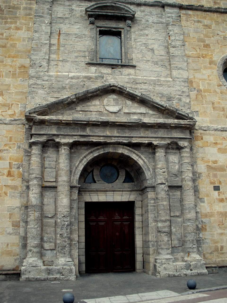
Una vía principal cruza el valle uniendo Cantabria con Bizkaia. De ella salen desvíos cortos hacia cada barrio. Las distancias son pequeñas. Puedes recorrer todo el municipio en media hora sin parar. La iglesia parroquial es de piedra y madera, sobria. Suele estar cerrada. Las casas, algunas con balcones de madera, se ven en pequeños grupos entre prados. No hay monumentos ni una plaza mayor.
Caminar por el valle
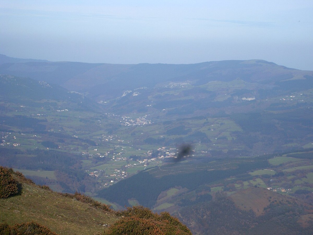
Hay senderos que conectan los barrios y atraviesan los prados. El terreno es el propio del campo: irregular, con tramos embarrados si ha llovido. No hay miradores señalizados ni paneles informativos. Si subes un poco por cualquier camino, ves la llanura del río Agüera y los montes alrededor. Algunos senderos entran en fincas privadas. Si dudas, da media vuelta y regresa al camino principal. Esto es terreno de trabajo.
Un paisaje funcional
El paisaje son praderas cerradas para el ganado y laderas con robles. Es ordenado, productivo. El ritmo lo marcan la ganadería y el mantenimiento de los prados. No verás tiendas de souvenirs ni carteles que digan "foto panorámica". Verás pacas de heno, vacas y algún caballo.
Cuándo ir y consejo práctico
Evita venir con lluvia intensa reciente. Los caminos se encharcan y la carretera serpenteante se resiente. Ven calzado adecuado si piensas salir del asfalto. Es una parida breve en una ruta más larga, quizás hacia el valle del Asón o la costa vasca. No esperes servicios turísticos ni ambiente preparado para visitantes. Valle de Villaverde es normalidad rural sin aditivos