Full Article
about Nerpio
The southernmost, most mountainous municipality; known for its walnuts and UNESCO-listed rock art.
Hide article Read full article
Un pueblo que no aparece en el mapa de camino a ningún sitio
Llegar a Nerpio es como cuando tu GPS te dice "sigue recto" y tú solo ves curvas, montañas y la sensación creciente de que te has equivocado de provincia. Está tan al sur de Albacete que casi rozas Murcia y Andalucía, metido en un rincón de la Sierra de Segura. Tienes que querer venir aquí. No hay atajos.
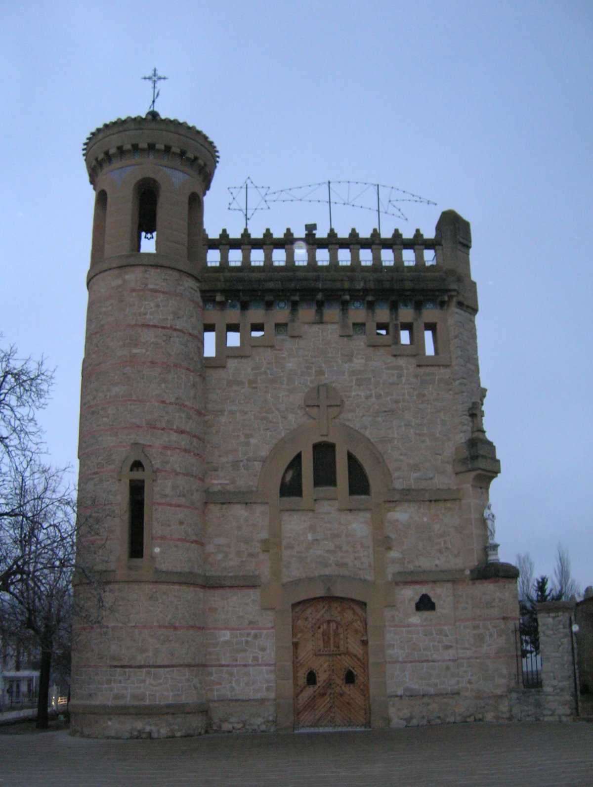
El pueblo en sí son casas apretadas en una ladera, con el campanario de la iglesia de Nuestra Señora de la Asunción sobresaliendo como un faro terrestre. Las calles son estrechas, pensadas para personas y mulas, no para coches. No es un museo al aire libre; se nota que la gente vive aquí todo el año. Hay huertos junto al río, portales grandes para guardar herramientas y ese silencio propio de los sitios altos.
La verdadera razón para venir: perderse (literalmente)
Nerpio es la base, pero lo interesante está fuera. El municipio es enorme y la mayor parte pertenece al Parque Natural de los Calares del Mundo y de la Sima. Un "calar" es eso: una meseta de piedra caliza agrietada por el agua durante milenios. El paisaje se vuelve áspero, lleno de pinos retorcidos y agujeros en el suelo que sugieren cuevas profundas.
Aquí nace el río Taibilla. No esperes una cascada espectacular. Es más sutil: manantiales, filtraciones entre la roca, un hilillo de agua que se va formando entre bosques. Es el tipo de lugar donde te sientas a comer un bocadillo y lo único que oyes es el viento.
Hay senderos marcados, algunos que llevan hasta la Sima de la Higuera, una cavidad famosa entre espeleólogos. Para el resto, basta con caminar sin prisa por las pistas forestales. Desde miradores como el Puntal de la Virgen ves sierras que pertenecen a tres comunidades autónomas diferentes. La sensación es de estar en tierra de nadie, en el mejor sentido.
Comida para aguantar el frío y setas después de la lluvia
La cocina aquí no tiene florituras. Es la típica de pueblo serrano donde los inviernos son largos: guisos contundentes, gachasmigas, cordero segureño hecho a fuego lento. Muchas recetas hunden sus raíces en la matanza tradicional.
Y cuando llegan las primeras lluvias del otoño, medio pueblo se echa al monte con cestas. Buscar níscalos es casi un deporte local. Eso sí, infórmate antes sobre permisos; no vale ir a lo loco.
¿Merece la pena el viaje?
Depende totalmente de lo que busques. Si quieres monumentos espectaculares, tiendas de souvenirs y vida nocturna, olvídalo. Si lo tuyo son las carreteras vacías entre montañas, los paseos donde no cruzas a nadie y ese silencio que solo se rompe con el rumor del agua o un rebeco cruzando el camino, entonces sí.
Mi consejo es claro: ven con tiempo y con gasolina en el depósito. Trae buen calzado y no esperes grandes restaurantes con mantel. Ven para andar, para conducir por esas pistas que suben hasta donde parece que se acaba el mundo, y para desconectar de verdad. Nerpio no te recibe con fiesta; te da espacio. Y a veces eso es justo lo necesario