

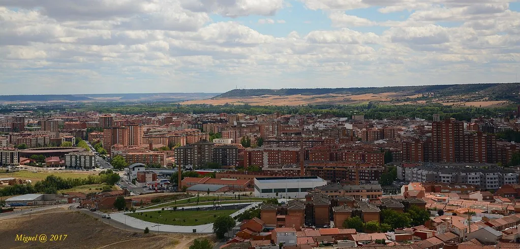
Castilla y León: the northern plateau and its nine provinces
Ribera del Duero: 115 km of wine and stone
The DO Ribera del Duero stretches 115 km along the River Duero across the provinces of Burgos, Segovia, Soria, and Valladolid, with 23,000 hectares of vineyard at an average altitude of 850 metres. Tinto fino (a local tempranillo clone) ripens under day-night temperature swings of up to 25 °C — the key factor behind its polyphenol concentration. Beneath Peñafiel, more than 80 underground wine cellars carved into limestone between the 13th and 18th centuries form a labyrinth of galleries 12 to 15 metres deep at a constant 12 °C.
Rural Romanesque: 3,000 churches between Palencia and Soria
Palencia province holds the densest concentration of Romanesque architecture in Europe: over 500 catalogued churches and hermitages, many in villages of fewer than 100 people. The cloister of San Andrés de Arroyo (13th century) carves limestone with such delicacy that the technique has been named "Palentine stone lace." In Soria, San Juan de Duero (12th century) mixes interlocking arches of Islamic, Norman, and Cistercian influence in a single cloister — a unique case in European architecture.
Salamanca's dehesa, river gorges, and the cereal plains
In Salamanca, the holm-oak and Pyrenean-oak dehesa feeds the DOP Guijuelo — 72 municipalities producing denomination-of-origin Iberian ham since 1986. The Arribes del Duero, where the river drops into canyons up to 400 metres deep along the Portuguese border, shelter almond, olive, and orange trees in a microclimate 5 °C warmer than the surrounding plateau. Inland, the cereal plains of Tierra de Campos (Palencia, Valladolid, Zamora) cover 4,400 km² of wheat, barley, and sunflower fields, where concrete grain silos from the 1950s — more than 600 across the region — mark the flat skyline every few kilometres.