Full Article
about Castrocontrigo
Large forest and resin-producing municipality; gateway to the Cabrera region with pine and riverside landscapes
Hide article Read full article
Where the Map Begins to Rise
Castrocontrigo sits in the south-west of León, within the comarca of La Valdería. Its location is its primary condition: at roughly 900 metres, the land begins its ascent here towards the Montes de León. With just over six hundred inhabitants, the village follows a rhythm set by agriculture. In winter, the smell of firewood is common. The sound of tractors moving through the streets marks the day. The pace is not slow; it is tied to work.
A Name That Hints at Older Layers
The name itself suggests a fortified past, a castro. While visible archaeological remains are scarce, the area shows signs of early settlement, like much of this part of north-west León. Its medieval role was likely as a passage between plains and mountains. You won’t find grand monuments from that era. Instead, evidence survives in stone coats of arms on some house façades, marking families that once held local sway. These details are found on lintels and around old courtyards, not in a museum.
Architecture of Use
The built environment is a mix. Traditional houses of thick stone and curved clay tile stand beside newer constructions. Look for the wooden corredores, the sun-facing balconies used for drying produce and airing the home. Barns and storage rooms are often attached directly to living quarters, a practical layout typical of La Valdería where home, harvest, and livestock were closely linked. The streets have a layered feel because function, not style, has dictated their form.
A Transitional Landscape
The land changes quickly here. From the village centre, you see cultivated fields and small river valleys. Walk a short distance and the terrain rises. Oak woods mix with heath and scrub. From certain points, views open towards La Maragatería and the first ridges of the Montes de León, though summer haze or the smoke from controlled field burning can obscure them. The shift from managed farmland to rougher ground happens within a few kilometres, with no clear line between.
Walking the Farm Tracks
This is not an area of waymarked hiking trails. Its network consists of agricultural paths that connect the village to outlying hamlets and fields. They cross streams, skirt oak groves, and cut through cultivated plots. Signposting is sporadic; a map or GPS is advisable for anything beyond a short stroll. This lack of formal structure is part of the character, but it requires attention. In spring, the same path is different, lined with flowering scrub. Birdlife is conspicuous, especially birds of prey. Kites and buzzards are a regular sight, circling on thermals above the open land.
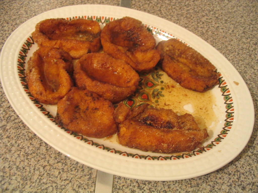
A Kitchen Tied to the Land
The local table relies on what the surroundings yield: legumes, cured meats from local livestock, and sheep’s cheese. Dishes are substantial, born from agricultural work. In many homes, they still make simple confections like mantecadas or puff pastry sweets, recipes kept within families rather than produced commercially. It is a cuisine of continuity.
How to See It
The village is small and best understood on foot. A slow walk is sufficient. The understanding comes from noticing the details: the worn stone of a gateway, the orientation of a corredor, the conversion of an old barn. These elements explain more about daily life here than any single monument could. Castrocontrigo doesn’t offer attractions in a conventional sense. It offers a clear view into how a place in La Valdería is built, lived in, and shaped by its geography.