Full Article
about Aguilar de Campoo
A major biscuit-making town and capital of the Montaña Palentina, it boasts a striking collection of monuments and is a key stop on the Northern Romanesque route, all set amid lush countryside.
Hide article Read full article
The Scent of Wheat and River Water
Aguilar de Campoo announces itself first by scent. The smell of toasted wheat and sugar from the biscuit factories hangs in the air, a constant note in the valley of the River Pisuerga. This is not a decorative detail. It is the key to the town’s modern identity, an industry born from the convergence of Castilian wheat and the water power of the river that has shaped its economy for over a century.
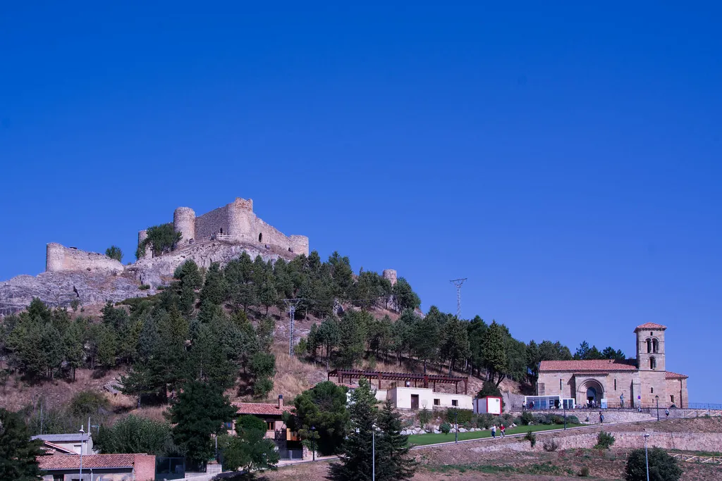
Geographically, Aguilar occupies a transitional space. Here, the land begins to buckle and rise towards the Cantabrian Mountains, while the Pisuerga basin provides a corridor. This position, between the cereal plains and the high pastures, dictated its historical role. Control of grain and water meant power. The hilltop castle, now a ruin, was built to oversee one of the natural routes from the plateau towards the northern passes.
The town’s medieval importance is anchored by two buildings. The Monasterio de Santa María la Real, founded in the 11th century, once managed the area’s riverside mills and farmland. Its decline after the 19th-century confiscations was so prolonged that locals called it “el convento caído.” Its restoration and current use as a cultural centre is a significant chapter in Aguilar’s story. Meanwhile, the Colegiata de San Miguel in the plaza speaks to Aguilar’s long tenure as an administrative hub for the Montaña Palentina.
Reading the Romanesque Landscape
The Romanesque architecture here is best understood in relation to the land. A short walk from the centre leads to the Ermita de Santa Cecilia, a small 12th-century chapel on a solitary hill. Its value lies less in ornate carving and more in its vantage point. From here, you see the logic of Aguilar: the town clings to the riverbank, with the first slopes of the mountains forming a wall behind it. The castle ruin and the collegiate church align visually, mapping the medieval axes of secular and religious authority.
Walking between these sites takes little time. The historic core is compact, its sober stone architecture reflecting its past as a local capital. The Romanesque work is robust rather than delicate, built from the same limestone that defines the surrounding landscape.
The Factory Floor as Heritage
The biscuit industry arrived in the late 19th century, facilitated by the railway and that existing combination of grain and water. For generations, it provided an alternative to rural exodus, with many women from surrounding villages finding work on the production lines. This social history is as integral to Aguilar as its older monuments.
The factories are still there, on the outskirts. On certain days, depending on the wind, the sweet, malty scent drifts into town. It is a tangible layer of the present, sitting alongside the stone heritage without conflict. The economy here has always turned on wheat, whether ground in monastic mills or baked into biscuits.
A Practical Table
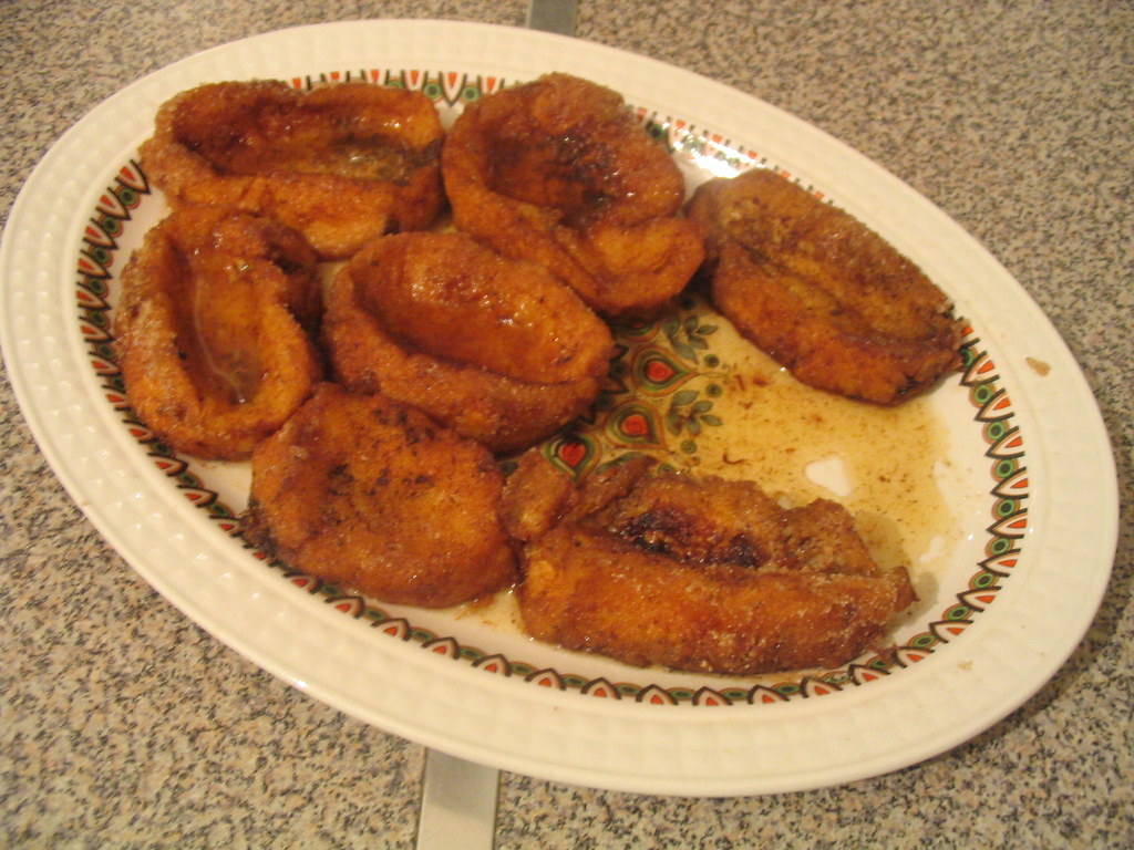
The food in Aguilar reflects its position at the foot of the mountains. Menus feature lechazo asado, roast lamb, and embutidos like morcilla from local butchers. In winter, stews of alubias or hearty soups appear, suited to the colder climate of the surrounding hills.
Saturday morning is when the town feels most connected to its comarca. The Plaza Mayor fills with people from outlying villages coming to shop and socialise, a weekly rhythm that has persisted for centuries.
Orientation and Movement
Aguilar is in northern Palencia, near the border with Cantabria. A major highway runs close by, making access by car direct. A narrow-gauge railway also serves the town, though services can be infrequent.
You can walk the entire historic centre and visit the main sites in a day. The sequence of monastery, collegiate church, castle perimeter and hermitage makes for a coherent route. With more time, Aguilar functions as a base for exploring other Romanesque churches scattered in villages throughout the Montaña Palentina.
The town’s atmosphere shifts with the seasons. Summer brings returning families and busier streets. In winter, when fog fills the Pisuerga valley and frost grips the hillsides, life turns inward. On those quiet mornings, the scent from the factories mixes with woodsmoke and damp stone—a blend of Aguilar’s enduring elements.