Full Article
about Santo Tomé del Puerto
Crossroads in Somosierra; includes several hamlets and the source of the Duratón
Hide article Read full article
Between Plateau and Pass
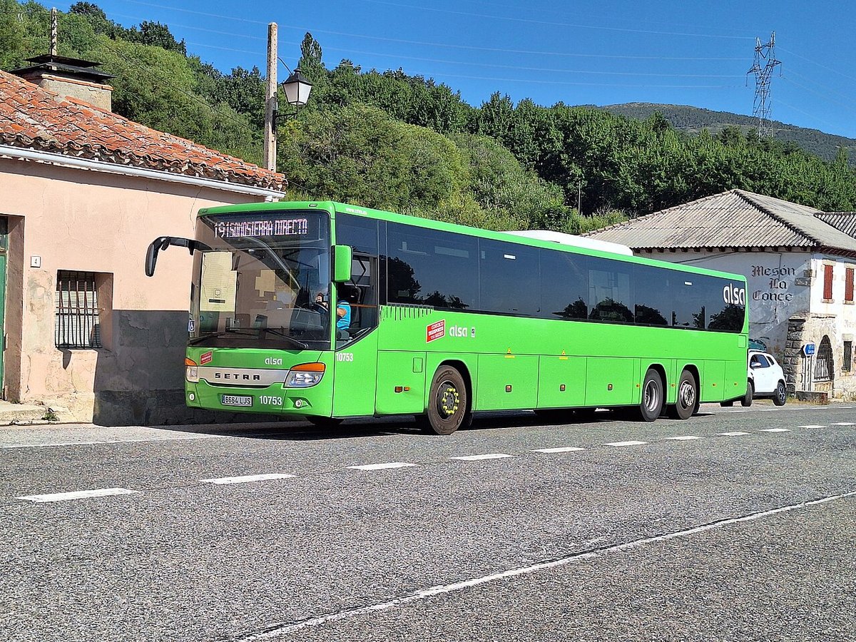
Santo Tomé del Puerto lies in the north-east of the province of Segovia, on the side that faces the Somosierra pass. The village sits at over 1,000 metres above sea level, in a zone that has long worked as a transition between the Castilian plateau and the basin of Madrid. This position has defined its past. For centuries, crossing the mountains here was one of the most direct ways of moving between the two sides.
The name itself reflects that role. “Del Puerto” refers to the nearby mountain pass, used since medieval times by muleteers, transhumant herders moving livestock between seasonal pastures, and travellers heading across the sierra. Today, the main transport routes run at some distance from the village, yet the geography has not changed. It remains a natural corridor linking different slopes of the mountain range.
With just over two hundred residents, Santo Tomé del Puerto keeps the scale typical of small mountain settlements in this part of Segovia. Streets are short, buildings are low, and the surrounding landscape feels close at hand rather than distant.
Stone, Rooflines and the Parish Church
The parish church is the most prominent building in the village. As in many rural places, its structure reflects different periods, the result of successive alterations over time. The tower still acts as a visual reference point in the landscape, something common in settlements located in open areas or along historic routes.
The rest of the village follows a practical and restrained architectural style. Stone walls dominate, with sloping roofs designed to cope with snowfall and wooden balconies appearing on some of the older houses. These are straightforward solutions shaped by the local climate, where winters can be long and winds from the sierra are a constant presence.
Walking through the streets reveals a mix of homes. Some remain closed for much of the year, while others have been restored more recently. This contrast reflects recent changes in the village: a decline in permanent population alongside the seasonal use of many properties.
A Landscape of Slopes and Open Ground
The surroundings alternate between pastureland, small wooded areas and open hillsides. It is not an alpine landscape, but it is a clear example of the mid-altitude mountains that make up the Sistema Central.
From the edges of the village, the gentle shapes of the hills become easy to read, along with the natural corridors that lead towards the nearby pass. At certain times of year, birds of prey can be seen riding the air currents, and with patience it is not unusual to come across roe deer in scrubland areas.
Vegetation varies depending on orientation. Pine forests cover some slopes, while oak appears in slightly more humid areas. Meadows have traditionally been used for grazing, linking the landscape to the long history of livestock movement through this part of the sierra.
Routes Across the Sierra
Paths leaving the village connect with forest tracks and trails that run through this section of the Segovian mountains. Many follow older routes once used to link nearby settlements or to move livestock between grazing areas.
These walks are generally straightforward in terms of navigation, though the terrain requires a reasonable level of fitness. The gradients build gradually but can add up over the course of a route. On clear days, views extend across the hills and down towards the valleys that descend in the direction of Madrid.
Local roads are also used for cycling, largely because traffic remains light away from the main routes that cross the mountains.
Traditions Through the Year
The main local celebration is linked to Santo Tomás Apóstol, the patron saint of the village, and usually takes place around 21 December. The timing influences the character of the event. Rather than large outdoor gatherings, the focus is on religious observances and smaller community meetings, shaped by the winter season.
Summer brings a different atmosphere. Many families who maintain homes in the village return during these months, and community activities become more frequent. Shared meals and open-air festivities in the square are typical of this period.
Practical Notes for a Visit
Santo Tomé del Puerto is reached via local roads that connect to the main routes crossing the sierra in this area. It is advisable to arrive prepared, as services within the village are limited and everyday needs are often handled in larger nearby towns.
The climate reflects its mountain setting. Winter can bring snow or hard frosts, while summer days are usually mild, with cooler nights. Anyone planning to walk in the surrounding area should check weather conditions and the state of the paths beforehand.
Santo Tomé del Puerto is not defined by major monuments. Its interest lies elsewhere, in how it illustrates the organisation of small settlements tied to mountain passes. It is a place shaped by geography, by movement across the sierra, and by a way of life closely linked to the land.