Full Article
about Vilanova de Meià
Climbing paradise at Roca dels Arcs; famous partridge fair
Hide article Read full article
Between the Noguera and the Pre-Pyrenees
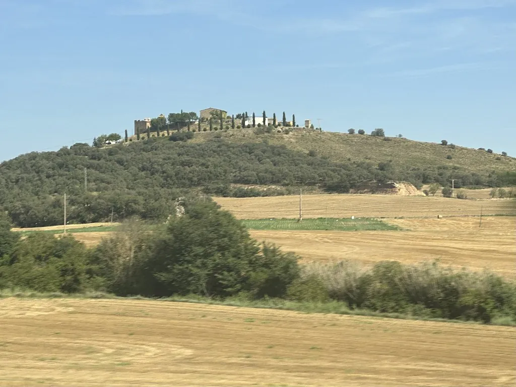
Vilanova de Meià lies in the northern part of the comarca of La Noguera, where the land begins to rise towards the Pre-Pyrenees. The village sits at around 600 metres above sea level, in an open valley framed by ridges of conglomerate rock that define much of the scenery. This geography explains the layout of the area: cultivated fields on flatter ground, scattered masías on the slopes, and a web of paths that historically linked farmland, hermitages and small settlements.
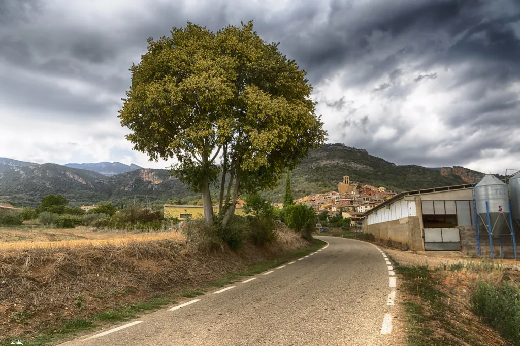
The present-day village is modest in scale. A church, a central square and a handful of short streets form its core, with stone houses adapted to the incline. There is no grand historic quarter, yet the rural architecture feels consistent with its surroundings. Wide doorways, thick walls and sloping roofs reflect practical responses to cold winters and dry summers.
Beyond the houses, the landscape quickly takes over. Conglomerate rock, so characteristic of this part of the Lleida Pre-Pyrenees, dominates the horizon. These formations create abrupt ridges and ravines that contrast with the cultivated fields on the valley floor. The same geology has given the area scientific importance. Various outcrops have revealed fossils, and the site has been known for decades among those interested in geology and palaeontology.
Stone, Faith and Local Building Traditions
At the heart of Vilanova de Meià stands the parish church of Santa María. It occupies a central position and can be seen from several points in the valley. Like many rural churches, the building is the result of successive extensions and alterations, reflecting the changing needs of the community over time rather than a single architectural moment.
A walk through the village streets reveals small details that speak of traditional construction. Carefully carved stone lintels frame doorways. Iron balconies project from upper floors. Large portals once opened onto agricultural spaces or small animal enclosures. The layout is neither strictly planned nor uniform, but instead follows the contours of the land. The village grew gradually, adjusting to the slope rather than reshaping it.
Across the wider municipality, several hermitages of Romanesque origin are preserved. Historically, they were linked to masías and to the small, dispersed nuclei scattered through the valley. These are simple structures, built with local stone and placed in locations that may appear isolated today. In earlier times they formed part of everyday rural life. Some remain in good condition, while others have undergone restoration in recent decades.
The area known as Parc de Meià brings together many of the conglomerate outcrops that define the region. Its geological interest is clear from the rugged relief, with rock faces and small ravines shaping the terrain. The site has long attracted palaeontological study. Walking here also helps to understand the broader geography, as this landscape marks the transition between the plain of Lleida and the first ridges of the Pre-Pyrenees.
Masías and Rural Paths
A significant number of masías are scattered across the municipality. These traditional farmhouses often retain their original structure, which typically included a dwelling, a hayloft, animal pens and open spaces organised around agricultural work. Some are still inhabited. Others stand empty, a situation that reflects the gradual decline in population experienced in many rural areas over recent decades.
The rural paths that criss-cross the municipality make it possible to explore much of the territory on foot. Some follow former working routes between fields and farmhouses. Others climb towards the ridges that enclose the valley. As the ground rises, the terrain becomes rockier and the slope more noticeable. In summer the lack of shade can make these sections demanding.
Nearby woodland is composed mainly of holm oak and kermes oak, mixed with Mediterranean scrub. Along the rocky stretches it is common to spot birds of prey riding the air currents. Quiet movement is advisable in order not to disturb local wildlife.
The contrast between cultivated land below and rugged rock above is constant. Fields occupy the valley floor, while the surrounding heights are cut by ravines and broken by outcrops. The human presence, visible in masías and hermitages, is interwoven with this terrain rather than imposed upon it.
A Small Village, a Wide Territory
Vilanova de Meià itself can be covered quickly on foot. The greater interest lies in the surrounding territory: rural tracks, outlying hermitages and natural viewpoints in the nearby sierras. Exploring the area requires a little preparation. Many of the paths are not continuously signposted, so carrying a map or consulting local route information is advisable.
Agricultural activity continues, and it is common to encounter tracks in active use by local residents and machinery. Respect for working farmland and for the natural environment is part of any visit here.
What defines Vilanova de Meià is not a single monument or attraction, but the relationship between village and landscape. The church of Santa María anchors the settlement. Stone houses line the short streets. Beyond them stretch fields, wooded slopes and ridges of conglomerate rock that have shaped both daily life and scientific interest in the area. The result is a place where geology, rural architecture and long-established patterns of movement across the land remain closely connected.