Full Article
about Almatret
Natural overlook above the Ebro River; transitional landscape between the plain and the riverside with old mines
Hide article Read full article
A Plateau at the Edge of Catalonia
To understand Almatret, start with its position. The village occupies a flat stretch of land on the southern rim of the Segrià comarca, where the terrain begins its descent toward the Ebro valley. The border with Aragón is close. With fewer than three hundred residents, the place feels quiet, but its location on this high plain has long mattered. This has been a margin between territories, a space where the dryland farming of the interior meets the influence of the great river below.
The geography is one of subtle shifts, not sharp edges. From the village, the view opens over cultivated fields that roll gently down to the Ebro. Almatret does not sit on the riverbank; it holds a watching position above it, overlooking a broad section of the valley.
A Medieval Frontier Community
The current settlement took shape after Lleida was conquered in the 12th century, as part of a wider effort to secure and farm this frontier land. It was established as one of many small agricultural villages meant to hold and work the territory.
For centuries, life here was shaped by proximity to Aragón. The border was more a zone of contact than a strict line. Livestock movements, local markets, and shared customs meant speech and daily rhythms often had more in common with neighboring Aragonese villages than with distant Catalan towns. Almatret was administratively Catalan, but practically intertwined with its neighbor.
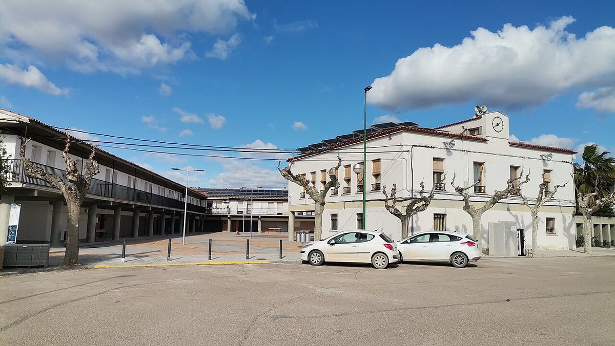
The parish church anchors the village. The building you see now is post-medieval, though it stands on older foundations. As is common here, the church and the main plaza form the core of public life, a layout that has organized local gatherings and markets for generations.
Streets Shaped by Dry Farming
The old quarter is built from local stone and follows the logic of the land. Streets are narrow, slopes are gentle, and the architecture is functional. You won’t find palaces or grand civic buildings. The construction speaks of agricultural work.
Look for the south-facing galleries on some older houses. They were designed to capture winter sun and dry produce—almonds, perhaps, or peppers. Thick walls and few openings on the north side defend against the wind. Every architectural choice here responds directly to the climate and economy.
A walk through these streets shows how the village is made from its surroundings. The stone is local, the orientation is calculated for light and shelter, and the modest scale reflects a community sustained by farming, not commerce. The relationship between the square, the church, and the houses tells you more than any single building could.
The Ebro from Above
While Almatret’s municipal lands reach the Ebro, the village itself looks down on it from the plateau. From some farm tracks, you can see the river’s wide bends and the green lines of riparian vegetation along its banks.
Poplar and willow groves grow in places. The landscape isn’t dramatic; it’s typical of this middle section of the Ebro. Herons and other waterbirds are common sights in the quieter stretches. The connection to the river has always been practical, centered on fishing and small-scale use of its terraces for crops, not on scenery.
From higher points near the village, the view expands across southern Segrià: dry fields, shallow ravines, and the distant thread of the river. The sense of space is considerable, but it’s a quiet, agricultural expanse.
Paths Through Olive and Almond Country
Olive and almond groves begin right outside the village, with some vineyards mixed in. They define the rhythm of the land.
A network of agricultural tracks crisscrosses these fields. They are not all waymarked as official trails; many are simply the paths farmers have used for generations. Walking them is straightforward, though the ground constantly rises and falls. These routes give you a clear sense of how the land is divided and worked.
Plots are small, often marked by low stone margins. An occasional field hut appears. These elements—the crops, the stones, the working paths—tell you more about Almatret than any monument. They are evidence of persistent cultivation in a dry environment.
The inland Lleida climate dictates everything here. Limited rainfall determines what is planted and how buildings are made. Those south-facing galleries and thick walls are direct responses to the same conditions that allow almonds and olives to thrive.
Visiting Almatret Today
Almatret is not a town of sights. Its value lies in reading its layout and landscape. A slow walk through the old quarter shows how a settlement adapts to a high, dry plain. A longer stroll along the tracks that face the Ebro valley places the village in its broader geographical context.
Pay attention to the details: the construction of a lintel, how a street turns to follow a contour, why the church sits where it does. From certain spots on the outskirts, you can take in the full view—the dry farmland, the eroded gullies, the distant glint of the river.
This is a consistent place. Its position between river basins and historic regions has fostered adaptation more than isolation. The architecture, the fields, and the paths all show how a small community has long negotiated life on a frontier defined by exchange.