Full Article
about Santa Pola
A quintessential fishing town: working harbor, salt flats, and a fortress castle.
Hide article Read full article
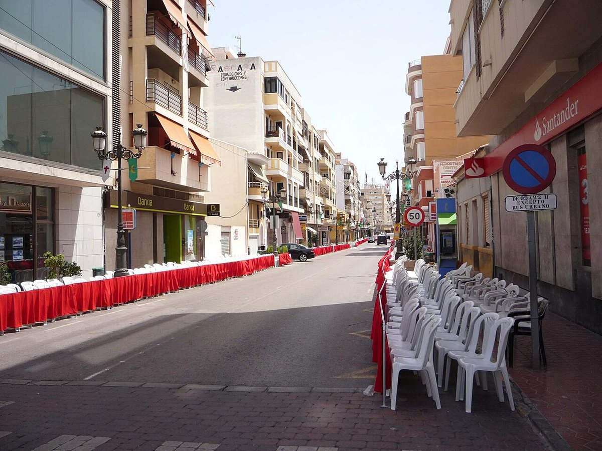
A harbour shaped by work and sea
Early in the morning, trawlers return to port and unload the night’s catch at the fish market: cuttlefish, squid, some oily fish. The scene has repeated itself for generations and still explains what Santa Pola has long been, an active harbour rather than simply a beach destination. That rhythm now sits alongside another, visitors strolling along the quay or boarding boats bound for Tabarca.
The place itself is much older than the present-day fishing town. In Roman times it was the Portus Ilicitanus, the harbour of the city of Ilici, now Elche. Goods left from here towards other parts of the Mediterranean. The remains are limited and scattered, a few walls, mosaics found in nearby villas, yet they help explain why settlement began here: a sheltered bay, shallow waters and a sandy seabed that made it easier to beach boats.
That same natural protection also attracted danger over the centuries, particularly raids by Barbary pirates. To control the coastline, the monarchy ordered the construction of a fortress in the 16th century, a building that still defines the centre of the old town.
The castle at the heart of the town
The Castillo‑Fortaleza de Santa Pola has a square layout with bastions at each corner, a common design along the Valencian coast at the time. Its importance lies less in architectural uniqueness and more in its role in shaping the town. Building the enclosure allowed the population to gather in a defensible space and gave rise to the urban core that now surrounds it.
Over time, the structure has taken on many roles: barracks, storage linked to the salt industry, a market space and even municipal facilities. Today it houses the Museo del Mar, which explores the town’s relationship with fishing, navigation and the nearby salt flats.
From the upper part of the enclosure, the layout of Santa Pola becomes clear. On one side lie the port and the seafront; on the other, the network of 19th-century streets that grew around the fortress. Beyond that are neighbourhoods built in the second half of the 20th century, when tourism began to reshape the local economy.
The salt flats: a working landscape
To the south of the town stretches the Parque Natural de las Salinas de Santa Pola, a wide expanse of ponds and channels covering much of the coastline. Salt extraction here has a long history. Different cultures used these coastal lagoons to evaporate seawater and collect the crystallised salt.
Production continues today, especially in the warmer months when evaporation is greater. The landscape shifts noticeably with the seasons. In summer, the beds of some ponds crack into white plates; in winter, the water darkens and activity slows.
Beyond their economic use, the salt flats have become an important area for water birds. Flamingos are the most visible, although their numbers vary. Binoculars are useful, as observation is done from a distance. The designated areas are intended to avoid disturbing the colonies.
A paved path runs around part of the ponds, making it possible to explore on foot or by bicycle. The route is flat but exposed to sun and wind, so timing matters.
Coastal watchtowers and a defensive line
The coastline between Santa Pola and the headland was once dotted with watchtowers built in the 16th century. Together they formed a visual network. If one detected suspicious ships, it alerted the next using smoke or fire signals.
One of the best known is the Torre de Escaletes, positioned on higher ground along the headland. From there, much of the coastline comes into view and, on clear days, the island of Tabarca appears almost directly opposite. The view makes the defensive logic easy to grasp: watching the horizon was essential along a coast long exposed to raids.
Tabarca, just offshore
A short distance from the harbour lies the island of Tabarca, the only inhabited settlement in the Valencian archipelago. Until the 18th century it was almost an uninhabited islet. That changed when the Crown settled a group of families of Genoese origin there, people who had been rescued from North Africa, and built a small walled enclosure.
The layout of the village reflects that planned foundation: straight streets, low houses and a Baroque church within the walls. The permanent population is small, and the island largely depends on the daily flow of visitors arriving by boat from the mainland.
What stands out is the overall setting: the surrounding seascape, the walls, the rocky coves and a seabed that has been protected for decades. It is best explored on foot at a relaxed pace. There are no cars and distances are short.
Finding your bearings
Santa Pola can be understood through a few key areas that link past and present. The fortress marks the historical centre and explains how the town first took shape. The harbour continues to reflect its working identity, even as it welcomes visitors heading out to sea. To the south, the salt flats introduce a different rhythm, tied to seasons and traditional industry. Offshore, Tabarca offers a contrasting setting, defined by its enclosure and its relationship with the mainland.
Together, these elements show a place that has evolved without losing sight of its origins. The fishing activity, the defensive structures and the salt production all remain visible, each adding another layer to how Santa Pola is experienced today.