Full Article
about L'Eliana
Residential town with many housing estates and the Vallesa park.
Hide article Read full article
L'Eliana by Train
L'Eliana comes into focus from the window of a Cercanías train. The journey from Valencia’s Nord station takes about twenty minutes. The urban periphery gives way to open plots, and the first thing you see upon arrival is the modern station building, a short walk from the town's core. This connection defines the place: a municipality in the Camp de Túria where the timetable of commuters shapes the rhythm, set against a backdrop of surviving huerta farmland.
The mix of languages in the plaza—Valencian, Spanish, German, Dutch—is a direct result of that rail link. For decades, it has attracted European residents seeking a quieter base within reach of the city. The result is a town that feels neither entirely suburban nor traditionally rural, but operates in its own space between the two.
The Estate and the Railway
The town’s origins are agricultural, tied to the historical estates of the region. The name L'Eliana is commonly thought to derive from a fusion of San Elías and Santa Ana, linked to old monastic landholdings. For centuries, this was farmland worked from scattered alquerías. The fundamental shift came with the railway in the late 19th century, which turned the area into a viable summer retreat for Valencian families. The subsequent growth was logical and linear: housing followed the station and the old road to Valencia, layering a residential grid over the agricultural parcel map.
You can still trace this progression in the street plan. The orderly centre around the church gives way to newer developments, and beyond them, the original landscape reasserts itself in citrus groves and irrigation channels.
Bunkers on the Perimeter
The low hills to the north and west hold concrete evidence of the 20th century. As part of Valencia’s defensive line during the Civil War, a series of bunkers, trenches, and observation posts were built here. A signposted walking route connects several of them.
The experience is one of quiet juxtaposition. You follow a dirt track used by cyclists and joggers, with pine trees and housing visible in the distance, and then encounter a reinforced machine-gun nest, now covered in spray paint. Their strategic purpose is clear: these positions controlled the approaches from the interior. They are not grand monuments, but functional ruins that complicate the peaceful, contemporary image of the area.
The Torre del Virrey in Context
The Torre del Virrey is a landmark often cited. It is important to temper expectations: it is a large, sober agricultural building from the 18th century, privately owned and not open to the public. Its name likely comes from a former owning family, not from royal administration. You can see its rectangular form and tiled roof from public paths that skirt the property.
Its significance is typological. It represents the kind of estate house that managed vast tracts of irrigated land, centering an economic system based on citrus long before commuter towns existed. Seeing it standing alone among fields, a short distance from modern housing, makes that historical layer tangible.
Movement on Two Wheels
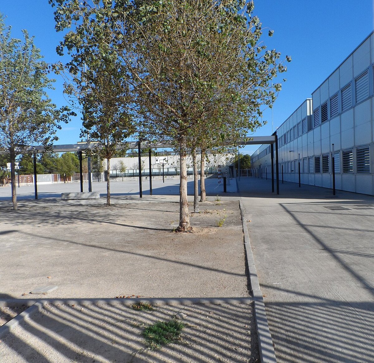
The terrain here is gentle, and L'Eliana has embraced the bicycle. A network of cycle lanes connects neighbourhoods, parks, and sports facilities. A particularly illustrative route circles much of the urban perimeter, where you can pedal past school playgrounds one moment and working orange groves the next.
This infrastructure is used. On weekend mornings, it’s common to see families cycling this loop. It is perhaps the most practical way to grasp the town’s current character—a seamless, flat transition from urban to rural within minutes.
A Centre Without Walls
Do not look for fortified walls or a tangled medieval core. The focal point is the Plaza del País Valencià, with its neoclassical parish church and town hall. The streets immediately surrounding it contain some of the older, low-rise housing. The town’s identity, however, is better understood by walking its edges.
Head west or north from the centre. Within ten minutes on foot, the pavement ends at a camí rural. An irrigation channel runs alongside it, and the geometry of citrus plots begins. To the north, the silhouette of the Sierra Calderona provides a constant backdrop. This is the enduring tension: the gravitational pull of Valencia against the persistent pattern of the huerta.
Getting There and Around
The Cercanías line C-3 (Valencia–Utiel) stops at L'Eliana. The station is a five-minute walk from the main square. The town is easily navigated on foot or by bicycle; a local bus network connects further-out neighbourhoods.
A Note on Timing
In late spring, the scent of orange blossom (azahar) carries on the air near the remaining groves. If your visit coincides with the town’s main festivals in summer, expect a more local, residential atmosphere in the evenings around the plaza.