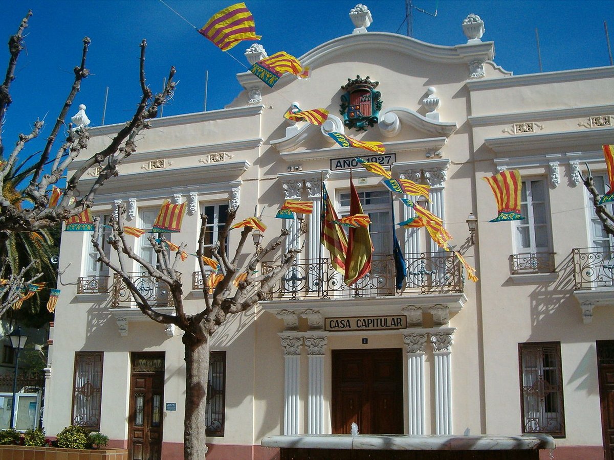
Full Article
about Alboraya
Birthplace of horchata, with vast chufa fields and popular beaches like Patacona.
Hide article Read full article
At seven in the morning, in a chufa field in Alboraya, the air carries the scent of damp earth and something faintly sweet that is hard to place. It is September. The soil has just been turned. Small tubers, about the size of an uneven hazelnut, lie in dark piles beside the furrows. An older man walks calmly between the rows without looking down, as if crossing his own courtyard. In Alboraya, most journeys seem to lead back to this landscape: the low, open huerta, criss-crossed by straight irrigation channels and narrow plots where chufa is grown before becoming horchata, the sweet, milky drink closely associated with this part of Valencia.
The hum of irrigation
Much of the huerta is organised around the acequia de Vera, one of the historic irrigation channels that run towards Valencia. Walk along the agricultural paths early in the day and, beyond the sparrows and the occasional motorbike heading towards the fields, there is a steady mechanical hum. Water pumps lift water for irrigation, a background sound that blends with the rhythm of rural work.
Between the plots stand alquerías from different periods. An alquería is a traditional farmhouse typical of the Valencian countryside. Some are still lived in. Others show flaking façades and wooden doors that no longer close properly. They tend to have thick walls, curved roof tiles and a rear patio where animals or tools were once kept.
There is a small route dedicated to the huerta and to chufa that passes an old alquería now used as an exhibition space. Inside, old presses, cloth sacks and simple tools help explain how work was done before machinery arrived. Sometimes the person describing the process is someone who has cultivated chufa for decades. Ask about the harvest and many will give the same answer: good chufa is pulled up well into autumn, when the soil has finally lost the heat of summer.
If you plan to explore the huerta, morning is best. In the warmer months the sun falls hard and without shade, and the tracks between the fields can feel longer than expected.
When the sea enters the neighbourhood
Port Saplaya appears abruptly as you leave the main road: pale-coloured apartment blocks arranged around an inner canal where small boats float. From above, the layout resembles a geometric board of water and bridges. At quay level, halyards tap against masts and water laps against concrete.
The marina has more than five hundred moorings, though in winter many are empty. At that time of year the neighbourhood feels different. Shutters are down, terrace furniture is covered and the calm bears little resemblance to the movement of summer.
Buildings are separated by canals, so moving from one street to another means crossing small bridges. The beach lies just a few steps away, yet within the port it is the still canal water that takes centre stage, reflecting façades in the late afternoon light.
Puente del Moro and the marks of time
Before today’s avenues connected the huerta with the city, the Puente del Moro served as a crossing point over the acequia de Vera. It has since been relocated to the Paseo de Aragón, now surrounded by modern buildings, but it retains its irregular stonework and the deep grooves left by centuries of cart wheels.
Run a hand across the surface and the channels worn smooth by use are still visible. Agricultural loads once passed this way on their route to Valencia: sacks, timber, tools. The bridge was narrow and had no railings, so crossing with a cart would have required a steady pace.
Its name has its own story. Some local residents say that, long ago, a Moor collected a toll from those transporting goods across it. The tale is likely part of oral tradition rather than documented fact, yet the name endured and is still used naturally today.
Now it is mainly schoolchildren and cyclists who cross, moving from one neighbourhood to another without lingering.
La Patacona before the high season
La Patacona begins exactly where the city of Valencia ends and stretches several kilometres north. The sand is fine and pale. When the sea is calm, a wet strip forms along the shore where the sky is reflected like a mirror.
In June, before the busiest part of the season begins, the promenade moves at a different rhythm. A few runners pause to stretch by the railing. Older couples walk slowly, looking out at the water. When an easterly breeze blows in, there is the smell of dried seaweed.
As evening falls, the sea-facing façades turn a soft peach tone that lasts only a few minutes. Around that time the clink of plates and glasses begins to drift from nearby homes. It is an everyday, domestic sound that mingles with the gentle breaking of the waves.
When to go and what to bear in mind
September often coincides with the chufa harvest. The paths of the huerta fill with tractors and trailers loaded with sacks. If visiting during those weeks, closed shoes are advisable. Some tracks can be muddy, with traces of irrigation water underfoot.
In July, Alboraya celebrates the fiestas de San Cristóbal, closely linked to drivers and to local life. It is not an event designed specifically for visitors, but rather a community celebration shaped by long-standing custom.
Throughout the year, Alboraya shifts subtly between field and sea. The hum of irrigation pumps, the stillness of Port Saplaya in winter, the worn stone of the Puente del Moro and the wide sand of La Patacona all form part of the same landscape. Whether walking beside the acequia de Vera at dawn or watching evening light fade over the Mediterranean, the setting remains grounded in everyday routines tied to water, land and season.