Full Article
about Calles
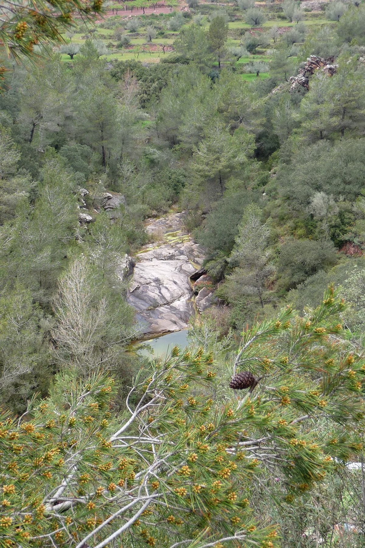
Mountain village crossed by the Tuéjar river, with the striking Peña Cortada aqueduct nearby.
Hide article Read full article
A slower rhythm in Los Serranos
Some places make you stop almost without thinking. Calles has that effect. Set in the comarca of Los Serranos, just over an hour from the city of Valencia, it sits in a landscape of low mountains, quiet roads and a kind of stillness that feels increasingly rare.
With around 450 residents, Calles is small, and it feels it. The atmosphere shifts noticeably once you leave the coast behind. The air is drier, the pace slower, as if time moves differently here. This is not a destination built around major sights or grand squares. Instead, it offers a glimpse into how life has long been lived in inland Valencia.
Stone terraces step across the hillsides, small kitchen gardens dot the edges of the village, and paths wind through scrubland and scattered houses. The buildings themselves are designed for extremes, holding off the heat of summer and the chill of winter. Everything feels practical, shaped by the land and climate rather than by any desire to impress.
A village to read, not just to see
The centre of Calles is compact and easy to navigate. The parish church acts as a reference point, more because of where it stands than its size or decoration. It is a restrained building, typical of many in the area, with stone walls, tiled roofing and little in the way of ornament.
From there, narrow streets branch out, lined with masonry houses topped with traditional curved tiles. Some are whitewashed, others show exposed stone or earthy tones. Walking without hurry reveals the small details that give the place its character: old doorways, iron window grilles, modest balconies with plants, and courtyards glimpsed behind low walls.
The appeal here is not about ticking off landmarks. It lies in the overall picture. Calles still carries the feel of an agricultural village. Homes are built close together, streets are shaped more for shade than display, and the countryside begins almost as soon as the last row of houses ends.
Step just beyond the village and the scenery shifts quickly. Slopes covered with carrasca, a type of evergreen oak, appear alongside stretches of scrubland and terraced plots where some gardens are still worked. It is a typical Los Serranos landscape: dry in parts, stony underfoot, yet full of subtle life if you take the time to look.
Simple ways to spend the day
There is no long list of organised activities in Calles, and that is part of the appeal. The most natural thing to do is put on comfortable shoes and follow the paths that surround the village. Trails begin on the outskirts and lead up towards small rises where views open out across the valley, revealing a patchwork of woodland and cultivated land.
Some sections are quite steep, so a steady pace is sensible, especially in summer. There are also gentler routes, suitable for a short walk before lunch or an unhurried wander.
After time outdoors, the food typically found in the area reflects the traditions of inland cooking. Dishes are filling and straightforward, shaped by what has long been available locally. Migas, made from fried breadcrumbs, gazpacho manchego, a hearty meat and flatbread stew despite its name, and slow-cooked casseroles are all part of this culinary landscape. It is not elaborate cooking, but it is closely tied to the region’s way of life.
For those interested in photography, Calles offers plenty of quiet subjects. Terraced fields curve across the hillsides, stone houses with old wooden doors catch the light, and sunsets often tint the surrounding slopes with reddish tones. It is not a dramatic landscape at first glance, but it has depth and texture.
At night, another quality emerges that is harder to find along the coast: a dark sky. When conditions are right, the stars are clearly visible. Even in summer, temperatures drop slightly after sunset, so a light jacket can come in handy.
Traditions that still bring people together
As in many villages across Los Serranos, the annual calendar revolves around the summer patron saint festivals. During these days, Calles becomes livelier than usual. Streets fill with music, religious events take place, and shared meals bring together residents and those who return to the village for the occasion.
There is often also a romería, a traditional pilgrimage or communal walk to a nearby hermitage or rural spot. These events are common in the region and are less about attracting visitors than about maintaining social ties within the community.
In autumn, some villages in the area continue to hold gatherings linked to the traditional matanza, the communal preparation of pork products. Today, these occasions are more social than economic. They tend to revolve around long meals, homemade dishes and unhurried conversation.
Reaching Calles
Calles lies inland within the province of Valencia, in the comarca of Los Serranos. From Valencia city, the usual route follows the CV-35 towards Llíria, continuing on in the direction of Chelva. Beyond that point, the roads become quieter and more rural.
The journey takes a little over an hour, depending on traffic when leaving the city. As the route progresses, the scenery gradually changes. The terrain becomes more rugged, and towns are spaced further apart. It is a relatively short trip in distance, yet it brings a noticeable shift in atmosphere as the coastal landscape gives way to the interior.