Full Article
about Orxeta
Quiet village in a fertile valley near the coast; perfect for eating and strolling
Hide article Read full article
A Small Inland Village Near the Coast
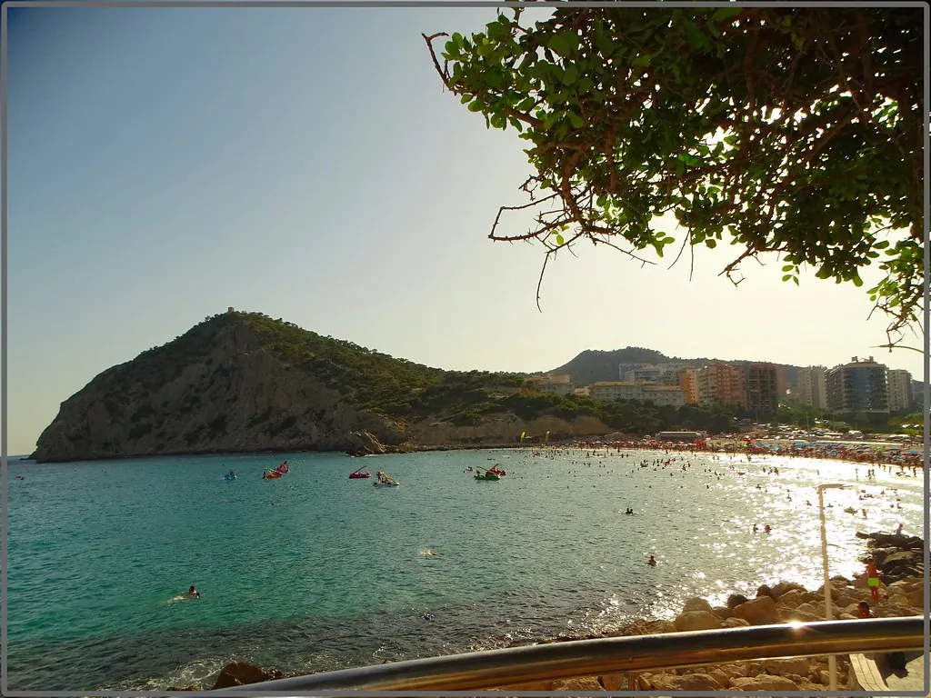
Tourism in Orxeta revolves around a small inland village in the Marina Baixa that has long looked towards its fields rather than the nearby coastline. It lies just a few kilometres from Villajoyosa and the Mediterranean, yet the scenery changes quickly as you head inland. Terraced slopes replace beaches, low scrub covers the hillsides, and the valley carved by the río Sella opens out before feeding into the embalse de Amadorio.
With fewer than a thousand residents, Orxeta adapts to an uneven hillside. Narrow streets wind between whitewashed houses stacked one above the other. The layout reflects a settlement that grew gradually, adjusting to the contours of the land rather than imposing a rigid plan.
For centuries the village depended on agriculture and on the water that runs through the valley. Part of its irrigation system relied on traditional acequias, narrow channels that distribute water to crops, as well as small local springs. Although Benidorm and the busy coastal strip are close by, daily life here still follows the rhythm of an inland community. Long-standing families live alongside newer residents who have moved from elsewhere, yet the pace remains measured and practical.
There is no extensive monumental complex. What stands out instead is vernacular architecture and a cultivated landscape that still explains how this territory has been used over time.
Architecture Shaped by Water and Terrain
At the centre of the old quarter stands the iglesia de la Asunción. Its origins date back to the medieval period, though later alterations, particularly in the early modern era, significantly changed its appearance. The bell tower continues to act as a visual reference point within the village and defines the small square that organises everyday life.
Public fountains appear in several streets, fed by local springs. In a place where water has always been limited, these sources were essential for daily use. The former municipal washhouse recalls the same relationship with water and with domestic tasks that were once carried out collectively. Such spaces were practical rather than decorative, yet they reveal much about how the community functioned.
Domestic architecture is simple and consistent. Whitewashed façades, roofs covered with traditional curved tiles and wrought-iron balconies dominate the streetscape. In older houses, features designed for the climate are still visible. Thick walls help regulate temperature, and small openings onto the street reduce exposure to heat.
Around the village, numerous dry-stone terraces remain intact. They are not ornamental additions. These retaining walls made cultivation possible on hard, shallow slopes. Almond and olive trees grow here, along with small vegetable plots that continue to occupy some of these agricultural platforms. The terraces form a practical response to geography, turning steep ground into workable land.
Valley Landscapes and Rural Paths
The immediate surroundings combine cultivated fields with Mediterranean scrubland. Rural tracks lead from the village towards the valley of the río Sella and in the direction of the embalse de Amadorio, one of the most recognisable landscape features in the area.
Seasonal changes are noticeable. In winter, almond trees come into bloom and stand out sharply against the dry terrain typical of the Marina Baixa. At other times of year, brown earth tones dominate, broken by the dark green of scattered pines. Along the edges of paths, rosemary, thyme and other aromatic plants grow wild.
Some footpaths connect with longer routes that explore the valley more fully or link up with nearby sierras. In the lower areas there are no major gradients, which makes for steady, unhurried walks. These routes offer a clear view of how crops, ravines and small pinewoods are distributed across the landscape. The terrain explains the patterns of settlement and farming better than any panel or guide.
The embalse de Amadorio introduces a broad sheet of water into an otherwise dry setting. From certain points around the village and on the surrounding tracks, there are open views across the reservoir, particularly noticeable as daylight fades.
Everyday Life and Local Flavours
Orxeta works well as a base for exploring the inland part of the Marina Baixa without straying far from the sea. By car, both the coast and other agricultural villages in the valley can be reached in a short time. Despite this proximity to busier areas, the atmosphere in Orxeta remains rooted in its rural character.
Local cooking keeps to a straightforward foundation. When available, produce from small vegetable plots features in meals. Olive oil and almonds play an important role, reflecting the crops grown on the terraces. Many dishes are prepared slowly, with traditional stews and food cooked over embers still part of everyday meals in numerous households.
Anyone interested in agricultural landscapes will find clear reasons to pause. Dry-stone walls line the paths between terraces. Tracks cross cultivated slopes. Views open out over the embalse as the light softens towards evening. None of this is arranged as a spectacle; it is simply the result of longstanding interaction between people and land.
Traditions Through the Year
The main patron saint festivities take place in August in honour of the Asunción. During these days the village concentrates much of its festive activity. Religious events are combined with celebrations in the streets, bringing together residents who live elsewhere for much of the year and return for the occasion.
In February, San Blas is celebrated, a festival widely observed across the comarca. Traditionally, bread or sweet baked goods are blessed, and small events are organised around the church.
Semana Santa, the week leading up to Easter, is marked in a restrained way. Processions move through the central streets, with strong participation from local residents. The scale reflects the size of the community, maintaining a close link between religious practice and village life.
Getting There
Orxeta lies about 35 kilometres from Alicante. The usual approach follows the motorway or the main coastal road towards Villajoyosa. From there, the CV‑770 heads inland into the valley. The final stretch runs between terraces and low scrub before reaching the village. Parking is generally easier in the streets of the lower part of town.
Orxeta does not rely on grand landmarks or a dense list of attractions. Its appeal rests on the relationship between water, cultivated land and a compact hillside settlement that continues to function much as it has for generations.