Full Article
about Cullera
Major tourist destination with a castle on the mountain, beaches, and the mouth of the Júcar.
Hide article Read full article
A landscape shaped by a single hill
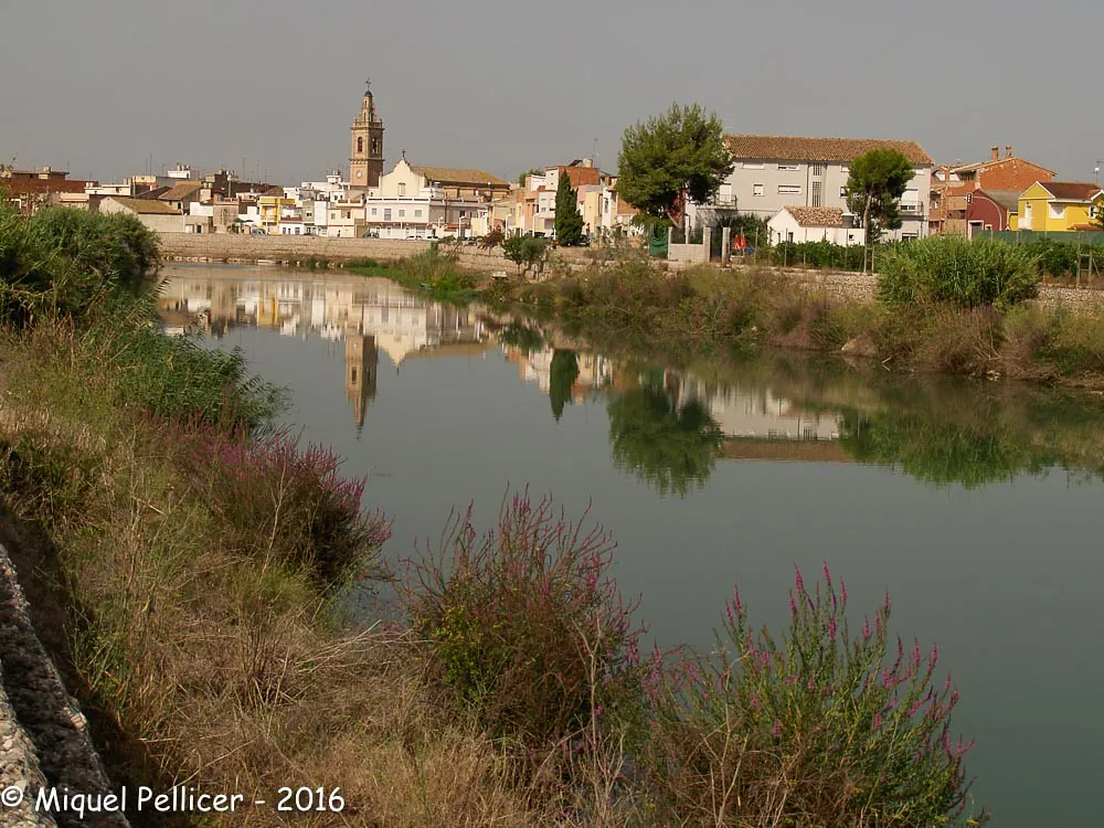
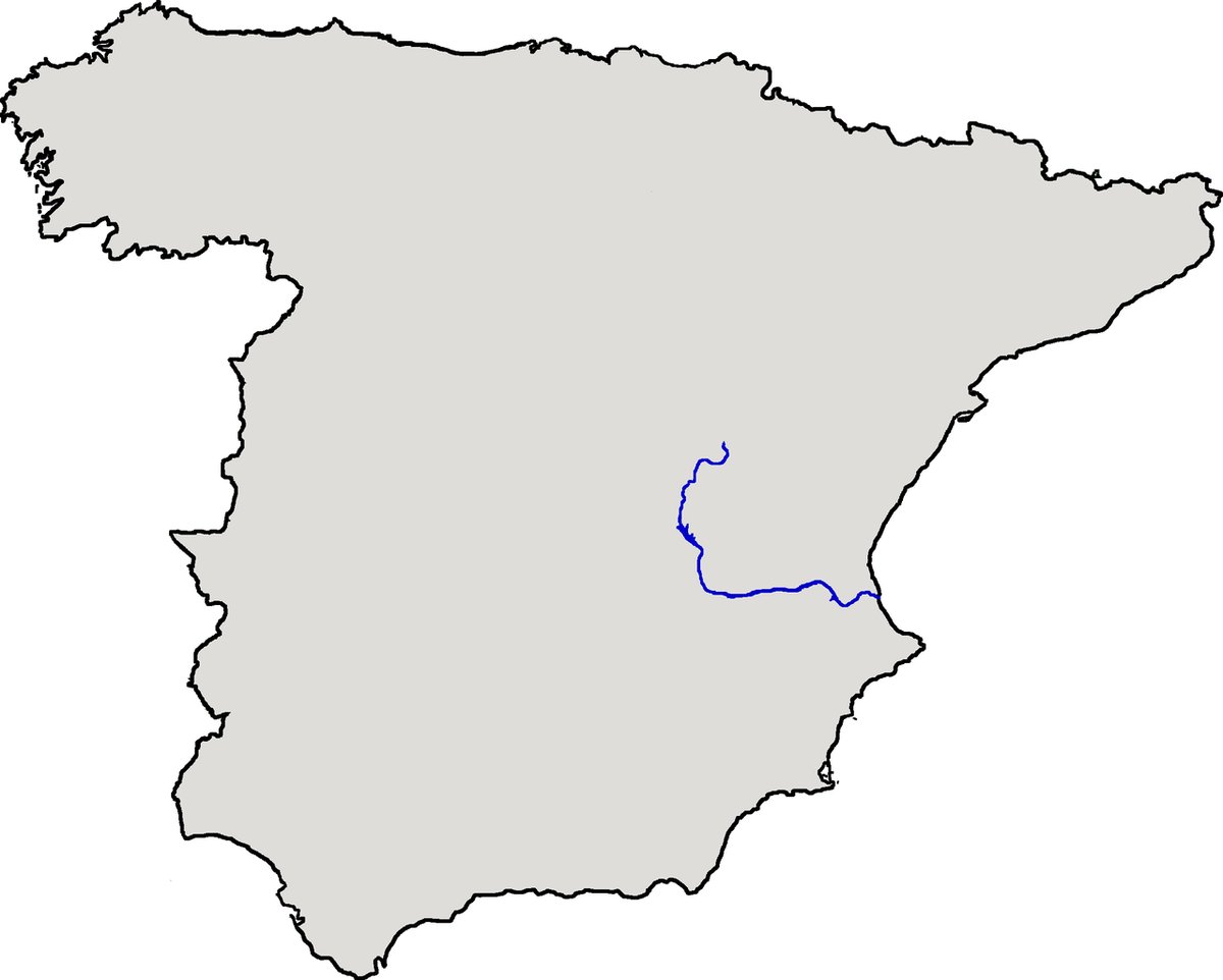
Cullera is defined by a single limestone hill, roughly 170 metres high, where the River Xúquer meets the Mediterranean. This convergence of river, sea, and rock has dictated the town's development for centuries.
The slope is visible from most streets, topped by its castle. This was never just a landmark. For centuries, the elevation controlled access to the river, a vital route inland toward Valencia. The town grew with that strategic purpose.
The hill organizes everything. It determines how you move through Cullera, dividing the older quarters from the modern coastal stretch below.
The rock chosen by a caliph
Cullera Castle has Islamic foundations. In the 10th century, the Umayyad caliphate needed to monitor the mouth of the Xúquer. This promontory offered a clear line of sight along the coast for surveillance.
It was part of a broader network of coastal watchpoints. Little of the original structure remains, but the terrain still explains its defensive logic. The approach is a steep, zigzagging path up the hillside—the same one used today.
From the Torre de la Reina Mora, the geography makes sense. Inland stretch the flat, geometric rice fields of the delta, backed by the sierra de Corbera. The river, calm now, was once the main commercial artery.
When danger came from the sea
Several kilometres from town stands the Torre del Marenyet. It seems isolated now among rice paddies, but in the 16th century it was part of a defensive chain against Berber corsairs.
These raids were a constant threat. One of the most severe occurred around 1550 when the Ottoman corsair Dragut attacked. Part of the population was captured and taken to North Africa. The Cueva de Dragut, on the lower castle slopes, is named for that event.
The watchtowers built in response had a simple system: upon spotting suspicious sails, they would send smoke or fire signals to be relayed by the next tower. A warning could reach Valencia in hours.
Rice fields and local cooking
Rice cultivation began here during the Andalusí period, but the landscape you see today was shaped in the 19th century. Irrigation channels and raised paths were built, structuring the delta into a precise grid.
The scenery shifts with the agricultural calendar. In spring, flooded fields mirror the sky. By late summer, they are a dense green before turning gold for the harvest.
This is the basis of the local cooking. Paella typically follows the Valencian style with rabbit, chicken, and garrofó beans. More distinctive is all i pebre, a stew of river eel that originated in fishermen's huts along the Xúquer. The recipe is straightforward—garlic, paprika, potato—but hinges on carefully cooking down the base. In autumn, you might still see fishermen setting traps for eels beginning their migration to sea.
From the hilltop to the shoreline
A coherent visit starts uphill. From the market area, the Camino del Calvario climbs about 800 metres. The ascent is steady, and views gradually open over the town and river mouth.
Beside the castle stands the Sanctuary of the Virgen del Castillo. The 19th-century building is historicist in style, a contrast to the medieval walls. Inside, maritime ex-votos hang—small paintings left by sailors in gratitude for survival at sea.
Heading down toward the coast brings you to the Faro area. The beach here is sheltered by the mountain. Behind it lies L'Estany, a coastal lagoon connected to the sea, often frequented by water birds. A path skirts part of the lagoon and continues to the 19th-century lighthouse, built over older defensive foundations.
From there, you see the modern port and its long, straight breakwater.
Getting around Cullera
Cullera has a train station on the Cercanías line to Valencia. The journey takes roughly half an hour, and the station is a short walk from the centre.
Coming by car, parking is generally straightforward outside of peak summer. A road leads up to the castle, but walking up gives a better feel for the hill's role.
The Torre del Marenyet is set within the rice fields, a few kilometres from town. It is most practically reached by car.