Full Article
about Dolores
Municipality reclaimed from wetlands in the 18th century; major livestock and agriculture fair
Hide article Read full article
A beginning written in a parish book
On 2 October 1735, Bernardo García was recorded as the “first son and resident of the new settlement of Nuestra Señora de los Dolores”. The line comes from a parish register, and it neatly captures how Dolores, in the Vega Baja, came into being. This is not a town shaped by centuries of gradual growth, nor one built around a castle or medieval core. It is a place created by political decision, established to occupy and cultivate land that had long been marsh.
That origin still defines how Dolores feels today. Rather than layers of history piled one on top of another, the town reflects a clear starting point and a practical purpose.
Belluga’s project on reclaimed land
The driving force behind this new settlement was Cardinal Belluga, also known for his role in the defence of Cartagena during the War of the Spanish Succession. In 1715 he received around twenty-five thousand tahúllas of marshy land from the cathedral chapter of Orihuela. The aim was straightforward: drain the wetlands, bring them into cultivation, and establish a stable population in the fertile plain.
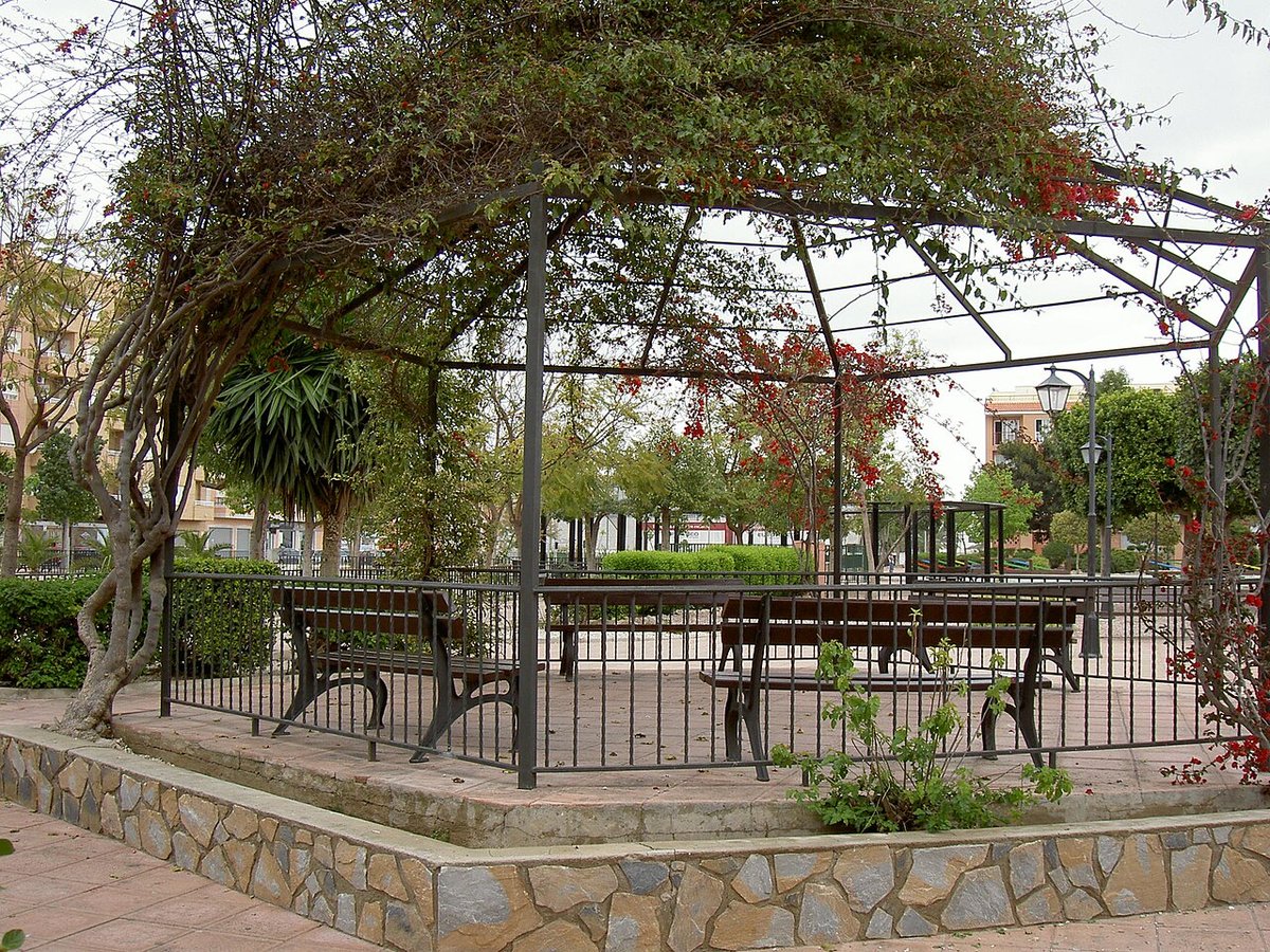
The new town took a devotional name, Dolores, the same as a chapel Belluga had in Murcia. From the outset, it was laid out with order in mind. The urban plan follows a grid pattern that can still be seen around Plaza de la Constitución and along the streets that extend from it at right angles. This was not an aesthetic choice but a practical one, a way to organise a newly founded agricultural community efficiently.
Walking through the centre today, that original design remains legible. The layout speaks of planning rather than improvisation, of a settlement built with a clear function rather than inherited form.
Building a community around the church
The parish church offers another way to understand how Dolores took shape. Its first stone was laid in the 18th century, at a time when the settlement was still consolidating. Before that, worship took place in a very simple hermitage.
The current building does not house major historic artworks, and that was never the priority. What mattered was creating a solid, reliable structure that could serve as the focal point of a new community. The bell tower was added later and placed in a prominent position within the town. In a landscape that is largely flat and lacks natural landmarks, the sound of the bells helped define both the settlement and the cultivated land around it.
The church, then, is less about artistic heritage and more about function. It anchored daily life and gave structure to a population that had only recently arrived.
Streets shaped by water and work
A walk through Dolores reveals how closely the town’s design is tied to its environment. The streets are of consistent width, planned to allow carts to pass easily. Pavements are narrow, a detail that reflects the priorities of a working agricultural settlement rather than a decorative urban space.
At many corners, raised plinths can still be seen. These were a practical response to flooding, which was a constant concern in this low-lying part of the Vega Baja. The town was built on land that had only recently been drained, and water remained a presence that had to be managed.
This is not a monumental historic centre filled with grand buildings. It is something different: the visible trace of Enlightenment-era planning applied to a wet landscape that needed to be controlled and made productive. The value lies in understanding how the place was conceived and how those decisions continue to shape it.
The surrounding huerta
Step beyond the urban area and the huerta appears almost immediately. This irrigated farmland defines the wider setting of Dolores. The plots are very regular in shape, intersected by irrigation channels and agricultural tracks. Everything here depends on water management.
Crops have changed over time, adapting to different demands and conditions, although citrus trees still occupy many of the fields. The landscape is open and flat, with long views across the plain.
In winter, fog often lingers low over the fields during the morning. The combination of flat terrain and lingering moisture creates an atmosphere that hints at the area’s past as marshland. It is a quiet reminder that the ground underfoot was once waterlogged and unstable.
The huerta is not a backdrop but an essential part of the town’s identity. It explains why Dolores exists at all.
Festivities and everyday rhythms
The main celebrations in Dolores are dedicated to the Virgen de los Dolores and take place in September. These festivities bring people together in the central streets and around the main square. They are shaped primarily for local residents and for those who return to the town during those days.
Outside these celebrations, life follows a more routine pattern. Agriculture remains central, alongside the weekly market and the everyday interactions that unfold in the town centre. The pace is set less by tourism and more by the needs of the huerta and the rhythms of local life.
This gives Dolores a different kind of atmosphere compared to more visitor-focused destinations. Activity is steady and functional, tied to work and community rather than seasonal influxes.
Visiting Dolores today
Dolores is easy to cover on foot, and its appeal lies less in individual sights than in the broader picture. Understanding why the town exists and how it was organised from the beginning is key to appreciating it.
It can be reached by road from various towns in the Vega Baja, and getting around the surrounding area is simplest by car, especially for exploring the agricultural tracks that extend beyond the urban grid.
Visitors expecting a dense historic centre filled with monuments may feel there is little to see at first glance. Looked at with context, however, Dolores becomes something else: a clear example of 18th-century agricultural colonisation. It is a town created from nothing to transform marshland into productive farmland.
Three centuries on, that original purpose is still visible. The straight streets, the ordered fields, and the ever-present relationship with water all tell the same story, one that continues to unfold with each step through the town and its surroundings.