Full Article
about San Miguel de Salinas
Balcony of the Costa Blanca; hilltop town overlooking the salt flats and the sea
Hide article Read full article
A village between huerta and salt
Talking about tourism in San Miguel de Salinas really begins with its setting. The town lies at the southern edge of the Vega Baja, on a modest rise where the landscape shifts quickly. Inland stretches the huerta, the irrigated farmland typical of this part of Alicante province, while to the east the salt lagoons signal how close the Mediterranean is. Torrevieja sits just a few kilometres away. This position explains much of the town’s identity: an agricultural community shaped by both fertile fields and salt extraction.
The urban centre follows the contours of this gentle hill. Streets climb towards the Cerro del Calvario in a stepped pattern of white houses. From higher points there are glimpses of the sea, though what really defines the horizon are the broad salt flats.
Salt, land and ties to Orihuela
For centuries, San Miguel de Salinas was not an independent municipality. Like much of the Vega Baja, it fell under the administrative control of Orihuela. Medieval records from the Christian redistribution of land already mention the local salt flats, highlighting their importance. In a region where agriculture and salt production coexisted for generations, both activities shaped daily life and the local economy.
Municipal independence came in the 19th century, during a period when many settlements in the Vega Baja sought self-governance. Traces of that earlier structure still appear in parts of the old town. Certain buildings recall systems linked to tithes and grain storage, which were central to agricultural organisation at the time. The Casa de la Tercia is one of the clearest examples. Now used for cultural activities, it preserves the memory of a fiscal system that once regulated much of rural production.
Homes carved from the ground and windmills on the hills
Around the edges of the town, there are still signs of homes carved directly into the gypsum-rich soil. These were not unusual or decorative features but practical solutions. The geology made it possible to create rooms that maintained a stable temperature throughout the year, offering relief from both summer heat and winter chill. Many of these dwellings disappeared or were altered as the town expanded, though their presence remains part of local memory across different neighbourhoods.
On nearby hills, windmills once stood where the terrain rises gently above the surrounding plain. They were used to grind cereal, tying them closely to the agricultural cycle of the Vega Baja. Today, only fragments remain, visible on small hilltops overlooking the fields. Rather than standing as isolated landmarks, they form part of a broader rural landscape that still defines the area.
From these elevated points, two features dominate the view. One is the salt lagoon of Torrevieja, which at certain times takes on a pink hue. The other is the cultivated expanse of the Vega Baja, stretching across the lowlands.
Local traditions and everyday cooking
Festivities in San Miguel de Salinas revolve around San Miguel Arcángel, the town’s patron saint. Celebrations usually take place towards the end of September, combining religious events with open-air dances and shared meals in the main square. These gatherings reflect a strong sense of local participation rather than large-scale spectacle.
Another tradition is the pilgrimage to the Ermita del Marqués, linked to the Santa Faz. It is a distinctly local occasion. Groups of residents walk together to the hermitage, carrying food and spending the day outdoors in a relaxed, communal setting.
The local cuisine mirrors that of the wider Vega Baja. Rice dishes feature prominently, often prepared with produce from the huerta. There are also simple stews and savoury cocas, flatbreads where tomato plays a central role. It is not a unique culinary tradition, but it represents the flavours and habits of the surrounding region.
Walking routes through fields and salt flats
The municipality includes several marked walking routes that cross agricultural land and reach areas close to the salt lagoons. Some follow old rural paths that once linked windmills and dryland fields. Others approach the edges of the Torrevieja lagoon, offering a closer look at this distinctive environment.
These routes are generally easy, more suited to walking than hiking. In milder months, birdlife associated with wetlands becomes visible. Flamingos can sometimes be seen in the lagoon, although their presence varies depending on the time of year.
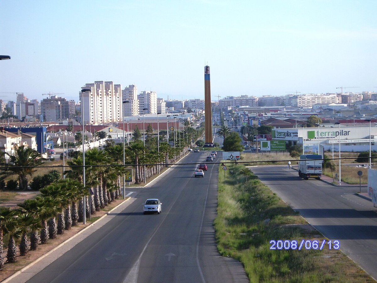
San Miguel de Salinas is connected by the CV-95 road, which links Orihuela with Torrevieja and passes through the town. The centre itself is easy to explore on foot. It is worth heading towards the viewpoints at the edge of the town, where the terrain drops away. From there, the relationship between the Vega Baja and the nearby coast becomes clear, as does the reason this settlement developed on a small rise between cultivated land and salt flats.