Full Article
about Sierra de Fuentes
Close to the capital; home to the Los Hornos Wildlife Recovery Center
Hide article Read full article
Where the road starts to feel different
You know that moment on a drive when the background noise from the city finally fades? For me, it happens on the N-521, about ten minutes out from Cáceres. The last roundabout disappears in the rearview, the petrol stations thin out, and everything just opens up. Suddenly, it’s just holm oaks, that endless dehesa, and a quiet so thick you can almost hear it. That’s usually when you see the sign for Sierra de Fuentes.
It’s the kind of place you’d blow right past if you weren’t looking for it. And most people aren’t. Which is probably why it feels like its own thing, not just an annex of the city.
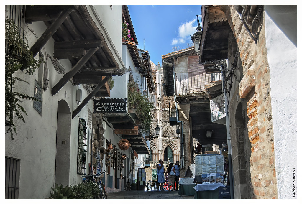
A village that follows the lay of the land
Officially, it’s 11 kilometres from Cáceres. In practice, it feels further. The population hovers around two thousand, spread across neighbourhoods with names that tell you more than any map: El Risco (The Crag), El Llano (The Plain), La Mosca (The Fly).
Nothing here shouts for your attention. You have to slow down to get it. Take the church of Nuestra Señora de los Remedios. It’s 16th century, and they built its tower right on top of a rock outcrop, so it looks like it grew there. From up there, on one of those stark Extremaduran clear days, you can see across the vega all the way to the horizon.
The streets don’t follow a grid; they follow the terrain. They climb, they dip, they curve around a house that was there first. Walking here means going with the flow of the hill.
What sticks around
You won’t find grand monuments. The history is in the stone—literally. Many houses in the older part are built from granite hauled from the nearby sierra, some sections left rough, others whitewashed. It gives the place a patchwork feel.
The high point is El Risco, about 660 metres up. The walk isn't a major expedition, but it's enough to get your heart going. The reward is a view that finally shows you how this village fits into all that empty space around it.
The name ‘Fuentes’ comes from springs, and they’re still around. You’ll find them scattered in the countryside—simple stone troughs where people used to water livestock and fill jars. It’s a reminder that life here was negotiated directly with the land.
The days the village fills up
Life here has a seasonal pulse tied to two main festivals. In May, for San Isidro Labrador, they hold a romería. It feels less like a tourist event and more like a massive family picnic in the fields. You’ll see tractors parked next to cars, and everyone spends the day out in their plots of land.
But September is when things shift gear for the Santísimo Cristo del Risco festivities. This is when everyone who’s moved away comes back. The population swells overnight. The streets fill with voices and music that goes late into the night. The atmosphere isn't just festive; it's familiar—it's about catching up.
It shows you how places like this work: they physically expand and contract with the calendar, held together by people who return.
How to spend a few hours here
Come in spring and you'll be sharing space with storks. Their nests are on every suitable tower and rooftop, and their bill-clattering is part of the soundtrack.
There's no single "must-see" spot because life isn't organised around one. The best thing to do is just walk. Head uphill towards El Risco for perspective. Wander through El Llano where things level out. Your pace will naturally slow down because these streets force you to pay attention.
People are straightforward. Ask someone about an upcoming change in weather and you might get a five-minute breakdown involving cloud formations over Los Barruecos—it's knowledge that comes from looking up every day.
Sierra de Fuentes doesn't try to sell you anything. It's just there. After an hour or two, your own rhythm starts to match its slower tempo. And when you get back in your car for that short drive back to Cáceres, the contrast hits you. Eleven kilometres can feel like a much longer journey

