Full Article
about Torre de Don Miguel
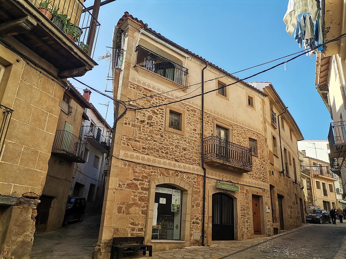
Mountain village with striking balcony-lined streets and passageways
Hide article Read full article
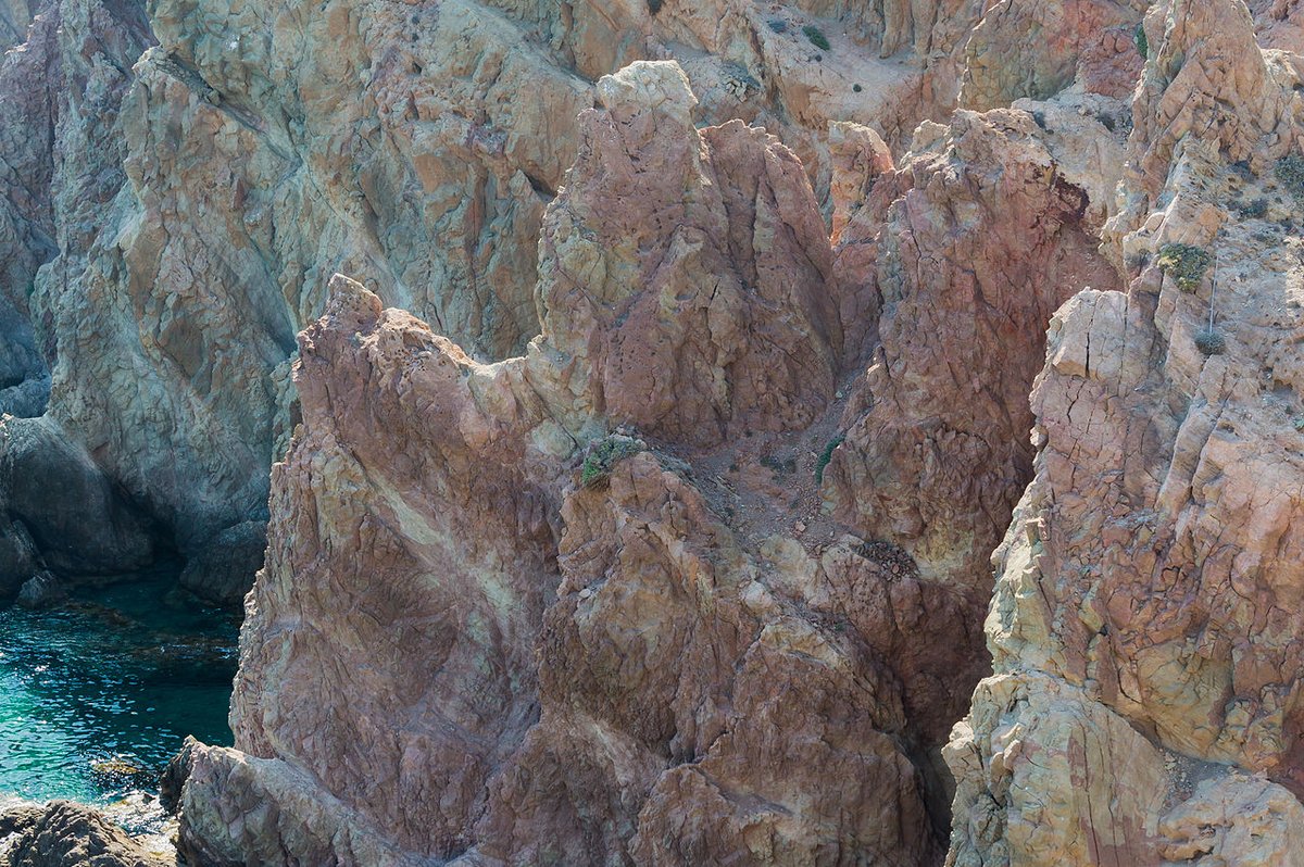
The first sound is water from a fountain, a steady trickle against granite. In Torre de Don Miguel, the morning streets are cool and half empty. You walk at an unhurried pace through an old quarter where the slopes make you lift your gaze every few steps. From the higher points, the landscape opens out: green hillsides, patches of oak woodland and, when the air is clear, the Portuguese border far in the distance.
The layout is irregular, shaped by narrow lanes and sudden turns. Walls are built from dark stone, sometimes damp in shaded corners. You see wooden balconies aged by time and wide doorways where the granite has been smoothed by years of use. There are no grand architectural statements. Everything feels built to last and to shield against the mountain climate.
The church and its square
The parish church of the Asunción de Nuestra Señora stands on a small square that opens abruptly between the houses. Its façade is plain, almost solid. Walking around it through the side streets gives a better sense of its volume and the contrast between the lighter stone of the building and the darker rooftops nearby.
From here, streets branch out with little apparent logic, climbing and dipping through the village. You pass traditional houses with thick walls and iron grilles on the windows. On quiet days the only sounds are footsteps and the occasional conversation drifting out from a half-open window.
On the edges of the village, old stone washhouses sit beside fountains that continue to flow even in summer. There are traces of cobbled paths and structures linked to former mills. They are not always signposted; asking someone locally is usually the simplest way to find them.
Paths into the valley
Several walking routes begin right where the village ends. Some are clearly marked, while others merge into agricultural tracks. They lead up towards small rises where the shape of the valley becomes clearer.
Vegetation changes noticeably with the seasons. Oak and chestnut trees dominate many areas, with dense undergrowth in spring. In autumn the ground is covered with fallen leaves, and people searching for wild mushrooms appear in the nearby hills. Remember that much of the land is privately owned, so not every path is open for free access.
A practical walk
If time is limited, leave your car outside the narrowest streets and enter on foot through the old quarter. From the church, several sloping streets cross the village in just a few minutes. You will likely pass a fountain or a small open space with a view across the valley.
With a little more time, follow one of the paths that lead out into the countryside for a different perspective. From there, you can see how the houses step down the hillside, fitting into the terrain.
Local context and flavours
In homes across this part of Sierra de Gata, products from the traditional matanza remain central. This refers to the annual pig slaughter, which produces a range of preserved meats like cured sausages and chorizo.
Many menus feature migas, a dish made from fried breadcrumbs often served with meat, along with stews of lamb or kid goat. Local goat’s cheeses also appear, known for their strong aroma and firm texture.
Timing your visit
Spring and autumn are usually comfortable for walking nearby paths. In autumn, hills change colour and atmosphere grows quiet among oaks and chestnuts. Winter brings cold mornings and dampness.
In summer, heat becomes intense from midday onwards. For walks in surrounding area, head out early or later in day and carry water. Torre de Don Miguel is small and quiet; it works best as relaxed stop as part of wider route through Sierra de Gata.
From Cáceres, journey is around 150 kilometres via Plasencia on N-630 then EX-204 towards Sierra de Gata. Road passes through wooded areas linking several small villages with frequent bends along way. Allow more time than GPS suggests; drive at easy pace.