Full Article
about Arroyo de San Serván
Sheltered by the Sierra de San Serván, it’s known for its cave paintings and its farmland setting near Mérida.
Hide article Read full article
A procession that explains everything
Any account of Arroyo de San Serván tends to begin with a very specific moment. On 4 May, the Santa Cruz returns to its hermitage after spending the night in a village house. For a few hours, the place seems to follow older rhythms, from a time when the area was made up of separate settlements rather than a single town.
The procession is not staged for visitors. It feels more like a shared gesture, a way for residents to recognise one another and reaffirm something familiar. Many take part simply because it has always been done that way, not because anyone has planned it as an attraction.
That detail says a lot about how this municipality works. Traditions are not presented as performances. They continue because they remain part of everyday life.
From three settlements to one town
Arroyo de San Serván as it exists today began with an administrative decision. In 1585, the military Order of Santiago brought together Perales, Cubillana and Arroyo. The aim was practical: easier tax collection and tighter control of the territory.
The merger was not straightforward. Each settlement had its own church, its own land and its own ties to nearby Mérida. Joining them under one structure meant negotiating differences that had developed over time.
A key moment came in 1599, when the community bought its carta de villazgo, a charter that allowed it to leave the jurisdiction of Mérida. The cost, more than eleven million maravedíes, was considerable. Paying off that debt took decades and left a lasting mark on the town’s development.
That shared effort is still present in how people speak about the place. When locals refer to themselves as “arroyanos”, they are also referring, indirectly, to the descendants of those three original settlements. Administration, land and celebrations ended up shared, less through choice than necessity.
Traces of earlier centuries
North of the town, the sierra holds evidence of much older human presence. Rock shelters with cave paintings, usually dated to the second millennium BC, are found there. They are not open to visitors, and their exact locations are kept discreet to prevent damage.
More accessible in terms of documentation is a Visigothic tombstone discovered in the area known as El Turuñuelo. It is dated to the year 505 and is now preserved in the National Museum of Roman Art in Mérida. Written references also mention a Visigothic monastery in Cubillana, founded around the mid-sixth century. Very little remains of that complex. A single baptismal font survives and has been reused in the hermitage of La Soledad.
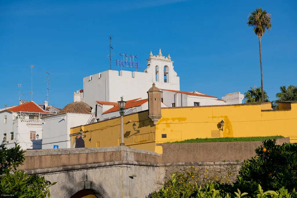
The Iglesia de la Santa Cruz offers a clearer sense of continuity. Built in the sixteenth century on top of an earlier structure, it is the building that best reflects how the town evolved. It has a single nave and a wooden roof. The main altarpiece, created around the mid-1500s by a workshop that also worked in Mérida, is not large but is representative of its period.
Later additions to the church, such as the transept or the tower added in the eighteenth century, are often linked to moments when the local economy was more stable. That stability followed the long process of paying off the villazgo.
When mining marked the landscape
In the mid-twentieth century, a small mining operation functioned in the sierra about five kilometres from the town centre. It extracted oligisto, a reddish mineral used as an industrial pigment. For a short period, it provided work for several dozen residents.
The activity did not last long. Once it ended, the terrain was left altered by slopes and cuttings that can still be recognised today. Over time, those marks have blended into a wider rural landscape.
Old quarries, dry-stone enclosures and small olive plots share the same space. The result is not a clearly defined industrial site but a patchwork where different uses of the land overlap.
Celebrations that follow their own rhythm
Festivities in Arroyo de San Serván do not always follow expected dates. The Romería of Nuestra Señora de Perales, for instance, takes place on the Sunday after Easter rather than on Easter Sunday itself. That slight shift in the calendar is a reminder that Perales was once an independent settlement and still retains a certain identity.
The Santa Cruz celebrations centre on 3 May, when the cross spends the night in the home of a resident chosen by lottery. The following morning it returns to the hermitage. The accompanying songs are rarely rehearsed. They are passed on by memory, with each generation introducing small variations.
August brings the Fiesta del Emigrante. It began as a way of bringing together those who had left the town to work elsewhere and who returned for a few days in summer. The atmosphere is shaped more by reunion than by any formal programme.
Getting there and moving around
Arroyo de San Serván lies about 12 kilometres from Mérida, reached via the EX‑390. The drive takes around a quarter of an hour. Once there, the town is easy to explore on foot.
A short walk connects the Plaza de España with the hermitage of La Soledad, with a gentle uphill stretch in between. Along that route, the mix of housing becomes clear. Late nineteenth-century homes stand alongside buildings from the 1970s, a period when many families expanded or built new houses.
The Iglesia de la Santa Cruz usually opens around religious services. Outside those moments, access often depends on whether a local resident has the key, which is common in villages across the region.
For those who prefer walking beyond the centre, several agricultural tracks lead towards the sierra or the irrigated lowlands. One route heads to the former mining area. It is a wide path with little shade, so early starts are advisable in summer. Another, shorter option follows the stream that gives the municipality its name, passing through olive groves and small orchards.
Spring is when the surrounding countryside feels most active. Thrushes and warblers move through the fields, and the sound of water runs steadily through the old irrigation weirs.