Full Article
about Cabezabellosa
Balcony village overlooking the Ambroz and Jerte valleys; known for its unique tree and mountain climate.
Hide article Read full article
A village set above the valleys
Cabezabellosa sits in the comarca of Trasierra–Tierras de Granadilla, in the north of the province of Cáceres, at just over 800 metres above sea level. Its position is deliberate. The village occupies a rise that looks out across the low sierras separating the Ambroz valley from the lands that face the Gabriel y Galán reservoir.
This elevated setting shapes daily life. The climate is a little cooler than in the nearby lowlands, and the surrounding landscape supports oak woodland and fast-flowing streams that gather strength during rainy periods. Water and height define the place from the outset.
The settlement itself reflects a small agricultural and livestock community. Houses built from masonry line streets that slope gently or sharply depending on the terrain. Outbuildings are often attached or integrated into the main homes, a reminder that farming work once structured everyday routines.
At the centre stands the parish church, originally built in the 16th century and later altered. Its الحجم dominates the modest square that acts as the village’s main point of reference. It is not monumental in scale, yet it clearly represents rural religious architecture typical of the area, constructed using materials drawn from the immediate surroundings.
Streets shaped by work and terrain
A walk through Cabezabellosa reveals how closely domestic architecture followed practical needs. Alongside houses there are corrales, haylofts or stables, frequently forming part of the same building group. These spaces speak to a way of life tied to land and animals rather than separation between living and working areas.
Some façades still display carefully carved stone doorways. These details point to the presence of skilled local trades such as stonemasons and carpenters, whose work left a visible mark on the village.
The street layout is irregular. Rather than following a grid, routes adapt to the contours of the land, creating small level changes and occasional natural viewpoints. From higher spots, on clear days, it is possible to glimpse the Gabriel y Galán reservoir to the north. These views appear unexpectedly between houses or at the end of a rising lane, shaped entirely by the terrain rather than by design.
Water, paths and the surrounding landscape
The wider municipal area is known locally for its gargantas, mountain streams, and for the waterfalls that form along them. Several walking routes begin in the village and lead down towards these watercourses, which cut through oak woodland.
Among the best known are the Chorros de Cabezabellosa and the waterfall of the Garganta Marta. After periods of rain, these spots tend to carry a significant flow of water, changing their appearance and sound.
Many of these paths follow older routes. Some were once used for moving livestock, others for reaching small orchards or mills. They remain part of the landscape’s structure, linking the village to its surroundings in ways that predate modern roads.
The scenery combines oak trees, scattered chestnuts, open dehesa areas, and stretches of undergrowth that shift with the seasons. In autumn, the ground is covered with fallen leaves, and it is common to see local people gathering mushrooms. This activity is carried out with care and knowledge of the terrain, reflecting a long familiarity with the environment.
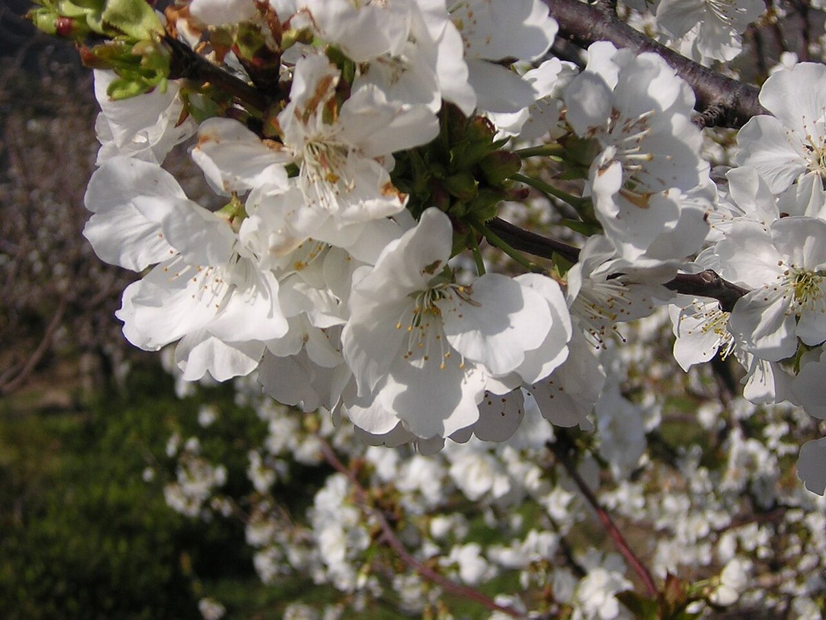
Oaks and singular trees
Oak woodland is one of the defining features around Cabezabellosa. These groves give the area a distinct identity within northern Cáceres, especially as the altitude and nearby water create slightly more humid conditions than in other parts of the province.
Some trees reach notable sizes. One of the best known is the Roble del Acarreadero, recognised as a singular tree in Extremadura. Trees like this often mark former meeting points or places connected to agricultural work, standing as quiet references to how the land was used in the past.
The relative conservation of these oak woods is linked to the same factors that shape the village: moderate elevation and the steady presence of water. Together, they allow this type of vegetation to persist in good condition.
When the landscape changes
Spring and autumn are generally the most pleasant times to explore the paths around Cabezabellosa. In spring, the gargantas carry more water, and the movement of streams becomes a central feature of any walk. In autumn, the oak woodland shifts in colour and the atmosphere feels calmer.
Summer brings heat, particularly on more exposed paths. Areas closer to the streams offer some shade, providing relief from higher temperatures. Winter is quieter still. Night-time temperatures drop easily, and mist can appear in the early hours of the day, softening the outlines of the surrounding hills.
Each season alters how the same routes are experienced, without changing their underlying structure.
Before setting out
The village centre can be explored quickly. The main interest lies beyond it, along the paths that lead towards the gargantas and in the natural viewpoints that open northwards across the comarca.
Comfortable footwear is advisable for anyone planning to walk down to the waterfalls. Some of the trails include slopes and uneven ground, reflecting their origins as older rural routes rather than purpose-built paths.
Cabezabellosa is reached from Plasencia in under an hour by car, following regional roads that climb gradually towards the sierra. The final stretch already introduces the landscape that defines the area: oak trees, watercourses, and a small settlement positioned above the valley, looking out from its height.