Full Article
about Jarilla
Small balcony village over the Ambroz with Roman remains and valley views
Hide article Read full article
Jarilla and the land it belongs to
To understand Jarilla, look at the map before the village. It sits in the Valle del Ambroz, a strip of land where the dehesa of the south begins to give way to the chestnut groves and mountains of the north. The village, home to just over a hundred people, is a product of that transition. Its 495 metres of altitude mark a middle ground, a place of holm oaks, small streams, and plots that have sustained a modest rural life for generations.
The settlement has always been small. Its size today is not decline, but continuity—a handful of streets shaped by the logic of agriculture, not tourism.
A walk through the village
The layout is simple. A few streets rise gently from the road, most ending where the fields begin. At the centre is the church of San Gregorio, built in the 16th century and modified later. Its architecture is unassuming: stone walls, a plain bell tower. It serves its parish and is typically open for services.
The houses show the vernacular style of this part of Extremadura. Stone or whitewashed walls, clay tile roofs. Some older homes have wooden balconies facing south, a practical design for catching winter sun and drying harvests. There is no expansion; the edge of the village is a clean line against farmland.
Paths into the working landscape
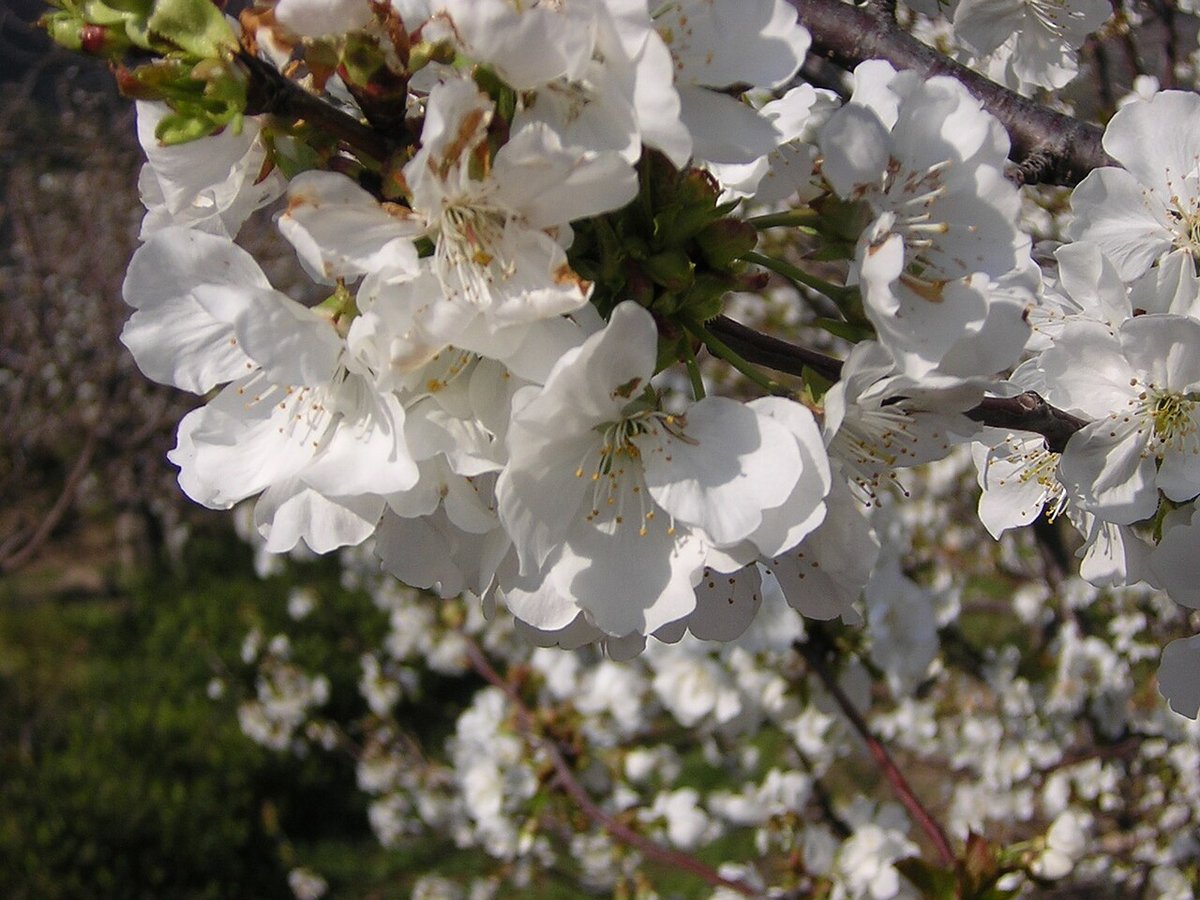
The true context of Jarilla begins where the pavement ends. Paths lead directly into dehesa, a managed ecosystem of holm oaks and pasture. In damper folds of the valley, chestnut groves take over. These were not laid out for visitors. They are working routes to vegetable plots, smallholdings, and sources of firewood. Walking them, you see the historical organisation of the land—a pattern of use that continues.
In autumn, the chestnut groves turn colour and draw more people to the wider valley. Yet even then, a short walk from the main road returns you to a quieter rhythm. The season changes the light and the air, but not the fundamental relationship between the village and its terrain.
Marking time locally
The village calendar follows two threads. The feast of San Gregorio in summer involves religious observances and local gatherings. The January celebration of San Antón is more directly tied to rural life, with traditions like the blessing of animals that recall the importance of livestock.
The chestnut harvest is a seasonal marker across the Ambroz, but here it often remains a family or domestic activity, not a spectacle. It is part of the annual work, not separated from it.
Practical notes for a visit
Spring and autumn provide the mildest weather for walking. Autumn brings colour to the chestnuts; spring fills the valley with green. Winters here are cold, as is typical in northern Cáceres. Summer days are warm, though nights often cool.
Jarilla is easily reached from the N-630, which runs the length of the Ambroz valley. From Cáceres, it’s about seventy kilometres, passing through other villages along the way.
You can walk every street in under half an hour. A more meaningful visit includes a stroll along one of the paths into the dehesa. An hour total is sufficient.
This makes Jarilla a brief stop, best understood as part of a journey through the valley. It has no grand monuments. Its interest lies in its scale and its clear, unadorned connection to the land that surrounds it.