
Galicia: estuaries, granite, and land's end
Rías Baixas and Rías Altas: two different coasts
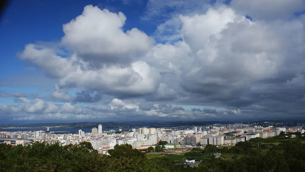
The Rías Baixas (Vigo, Pontevedra, Arousa, Muros-Noia) account for over 1,200 km of indented shoreline, where roughly 3,300 bateas — mussel-growing platforms — produce 250,000 tonnes per year, half of Europe's mussel aquaculture. The Rías Altas (Ferrol, Ares, Betanzos, A Coruña), more exposed to the open Atlantic, take heavier swells and include the Cedeira cliffs (613 m, among the tallest on mainland Europe).
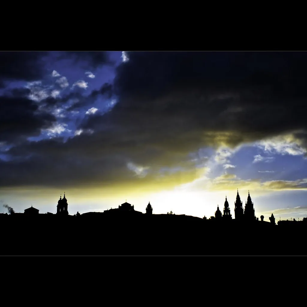
Camino de Santiago: 1,200 years of footsteps
Santiago de Compostela's cathedral holds — according to tradition — the remains of the apostle James, discovered around 829 AD. Today pilgrims arrive along six official routes within Galicia: the Camino Francés (the last 160 km from O Cebreiro), the Portuguese Way, the Northern Way, the Primitivo (the oldest, from Oviedo), the English Way, and the Vía de la Plata. In 2024, the Pilgrim's Office issued more than 446,000 compostelas.
From lamprey to pulpo á feira
The River Miño supplies lampreys between January and May; the town of Arbo (Pontevedra) holds its Lamprey Festival each April, drawing over 40,000 visitors. Pulpo á feira — octopus boiled in copper pots, cut with scissors, served on a wooden plate with paprika and olive oil — has its epicentre in O Carballiño (Ourense), whose August octopus festival goes through 50,000 kg in a single day.
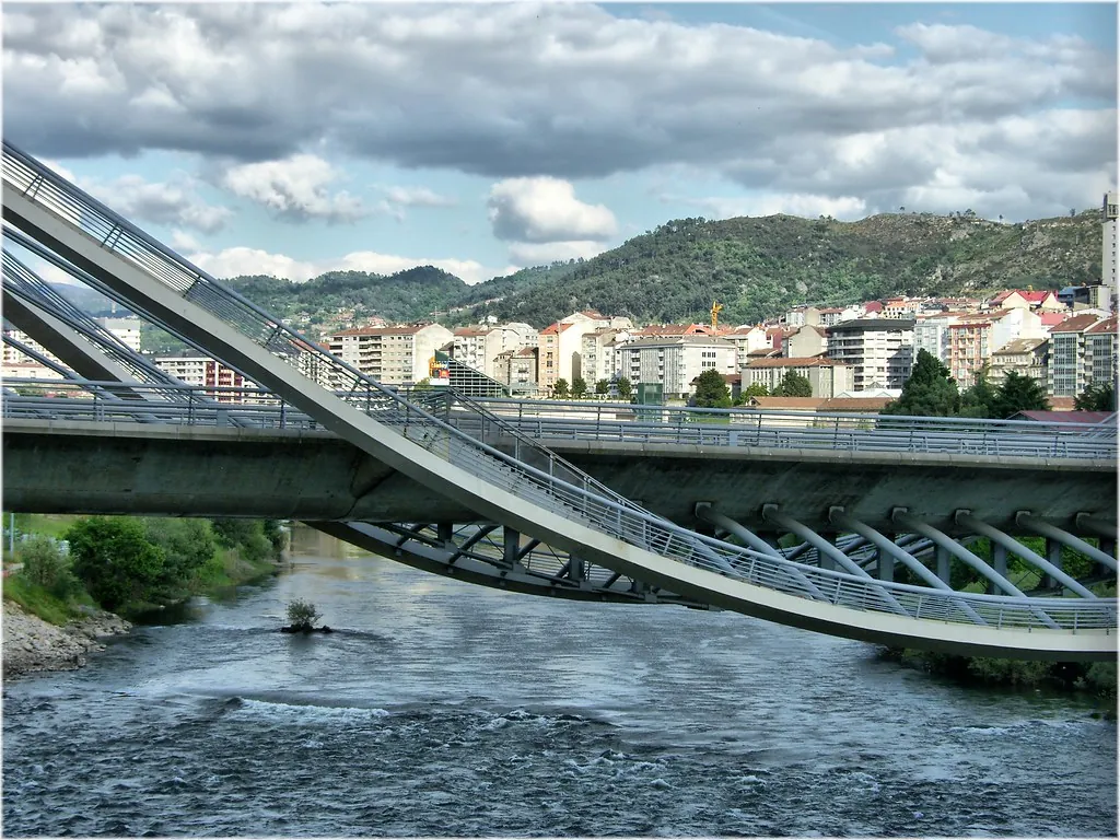
Pazos, granaries, and inland Galicia
Galicia preserves more than 3,000 pazos (rural manor houses) and 30,000 stone granaries. In the Ribeira Sacra, where the Sil and Miño rivers carve canyons up to 500 metres deep, vineyards cling to terraces at 45-degree angles — grapes are picked by hand, sometimes in a harness. Further south, the Sierra de O Courel maintains devesas (centuries-old chestnut forests) and soutos that produce chestnuts under a Protected Geographical Indication.