Full Article
about A Bola
Hide article Read full article
Reading the map first
Any look at tourism in A Bola begins with a map. This small municipality lies inland in the province of Ourense, within the comarca of Allariz‑Maceda. The setting is shaped by gentle valleys and low mountain ranges that hint at the presence of the San Mamede massif nearby. Roads into the area wind through oak and chestnut woodland. In autumn, early morning mist often settles in the valley floors, lingering until the day advances.
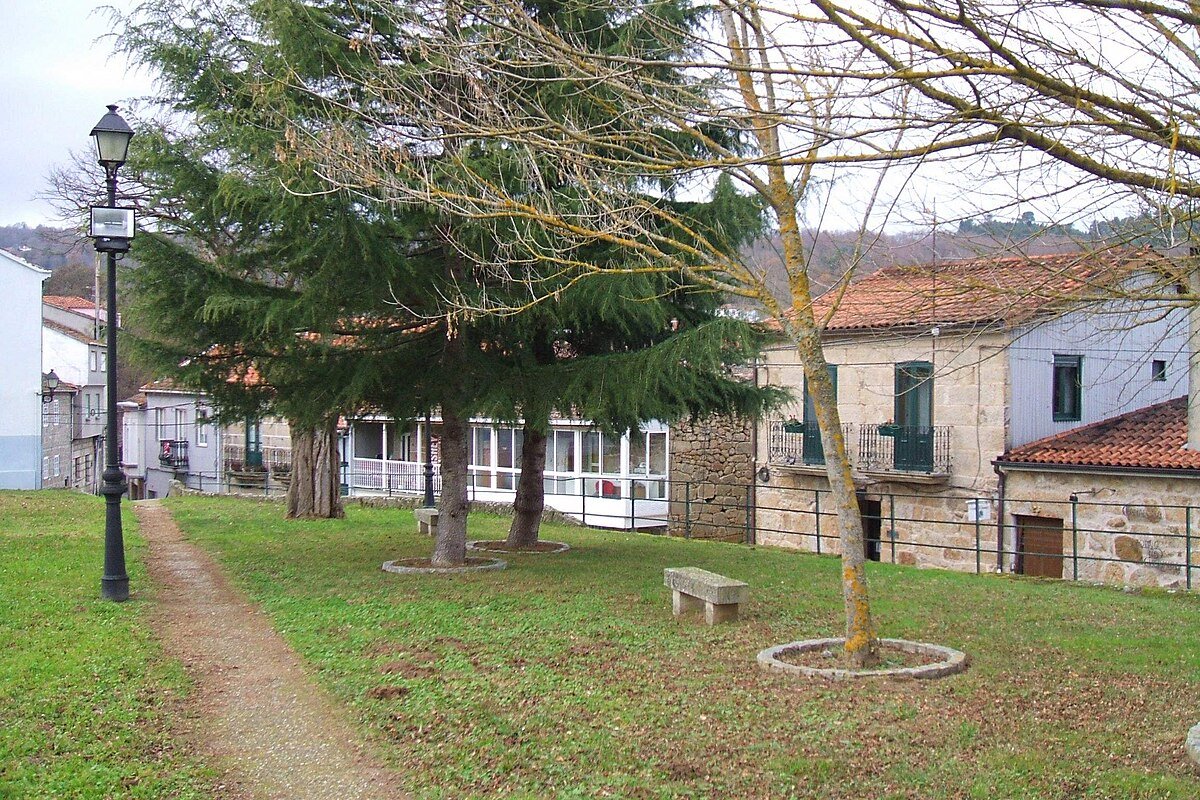
A Bola itself does not appear immediately. The approach takes you through kilometres of scattered farmland and small clusters of houses before the village finally comes into view. This sense of distance is part of the place, where the landscape unfolds gradually rather than all at once.
A name restored
For much of the twentieth century, official documents referred to the მუნიციპალity as Bulíu. Towards the end of the century, the Galician name A Bola was reinstated, reflecting what local people had continued to use in everyday speech for generations. The shift was not unique. Across Galicia, administrative names were often adjusted to match forms that had never disappeared from common use.
Local history follows a pattern typical of this part of Ourense. Medieval parishes were linked to nearby monasteries, especially the monastery of Celanova. Agriculture shaped the economy for centuries. During the twentieth century, steady emigration reduced the population in many villages. Even today, the territory remains organised into dispersed parishes, something that becomes clear when travelling through the municipality. Settlements are not concentrated in a single centre but spread across the landscape, each tied to its own church, fields and paths.
Three churches, three moments
The parish church of Sorga is often regarded as one of the oldest in A Bola. The current building preserves features associated with late Romanesque architecture, which reached Galicia between the twelfth and thirteenth centuries. Its granite walls are plain, and the entrance arch is slightly pointed. The scale is modest, in keeping with rural parishes rather than large ecclesiastical centres.
A similar sense of proportion can be found at San Munio de Veiga. Local tradition connects it to a small medieval monastery, though little remains beyond the church itself. Its position is striking. It overlooks cultivated land and sits along a natural route through the valley. Churches like this often served more than a religious function. They helped define territory and marked points of reference within a dispersed rural landscape.
The church of Soutomel belongs to a later period. Built in the eighteenth century, it reflects a Baroque style and stands in an area where settlement appears more concentrated. Across much of Galicia, new parish buildings or renovations from this time coincide with broader economic changes and shifts in how rural communities were organised.
When a mountain became a lake
Near Monte Alén, mining activity continued for decades. Materials were extracted mainly for construction and public works. When operations ceased, the quarry was left behind. Over time, water filled the excavation, slowly transforming it.
Today, an artificial lake occupies the site, surrounded by pine trees and natural vegetation that has grown back on its own. The place is not especially signposted, and access is usually via forest tracks. Locals still refer to it simply as “la mina”. It illustrates a wider change in the rural landscape. Former industrial spaces, once defined by extraction, have been absorbed into their surroundings through time and abandonment.
Flowers underfoot and autumn fungi
In the village of Podentes, a tradition continues each year during Corpus Christi. Residents create floral carpets along the streets using petals and leaves gathered in the preceding days. The work begins early in the morning, with families assembling intricate designs on the ground. These displays are temporary. The procession passes over them, and by the end of the day very little remains.
Autumn brings a different rhythm to the area, especially in the woodlands near the San Mamede range. The oak and chestnut forests produce a variety of mushrooms once the first rains arrive. As in many places known for fungi, knowledge of the best spots is not widely shared. It tends to circulate through trust and familiarity rather than public guidance.
Moving through A Bola
A Bola sits roughly thirty kilometres from the city of Ourense. The usual approach combines a main road towards Celanova followed by smaller regional routes. The final stretches are narrow and winding, which is typical for this part of the province.
Getting around the municipality is best done slowly, often by car, stopping in different parishes and walking along the paths that connect villages and farmland. For accommodation or a wider range of services, nearby towns such as Celanova are often more practical bases.
The surrounding hills offer several high points where the landscape opens out. From these vantage points, views extend towards the Miño valley and, on clear days, across the southern part of the province. In the area of San Cibrao, a small chapel is preserved. Local tradition considers it very old, and some studies place its origins in the early medieval period, though its history is not entirely clear.
A Bola is best understood by moving through its parishes and observing how villages are arranged around churches, paths and cultivated land. The landscape has taken shape gradually. History here is less about large monuments and more about how territory and community have evolved together over time.