Full Article
about Aranga
Hide article Read full article
Early in the morning, when mist still clings to the shallow valleys, tourism in Aranga begins with something very simple: the sound of car wheels on damp gravel and the sweet smell of chestnut trees. Along the roadside, irregular stone walls enclose meadows. Dark wooden hórreos appear beside them, the traditional Galician grain stores raised on stone pillars to protect the harvest from damp and animals. Narrow tracks slip into small woods without any sign to say where they lead.
Aranga does not operate as a place of must-see sights. The municipality is spread across small villages, separated by tight lanes and fields that are still actively worked. What emerges instead is a rhythm: low houses, vegetable plots close to front doors, moss-covered walls that have stood in the same place for decades.
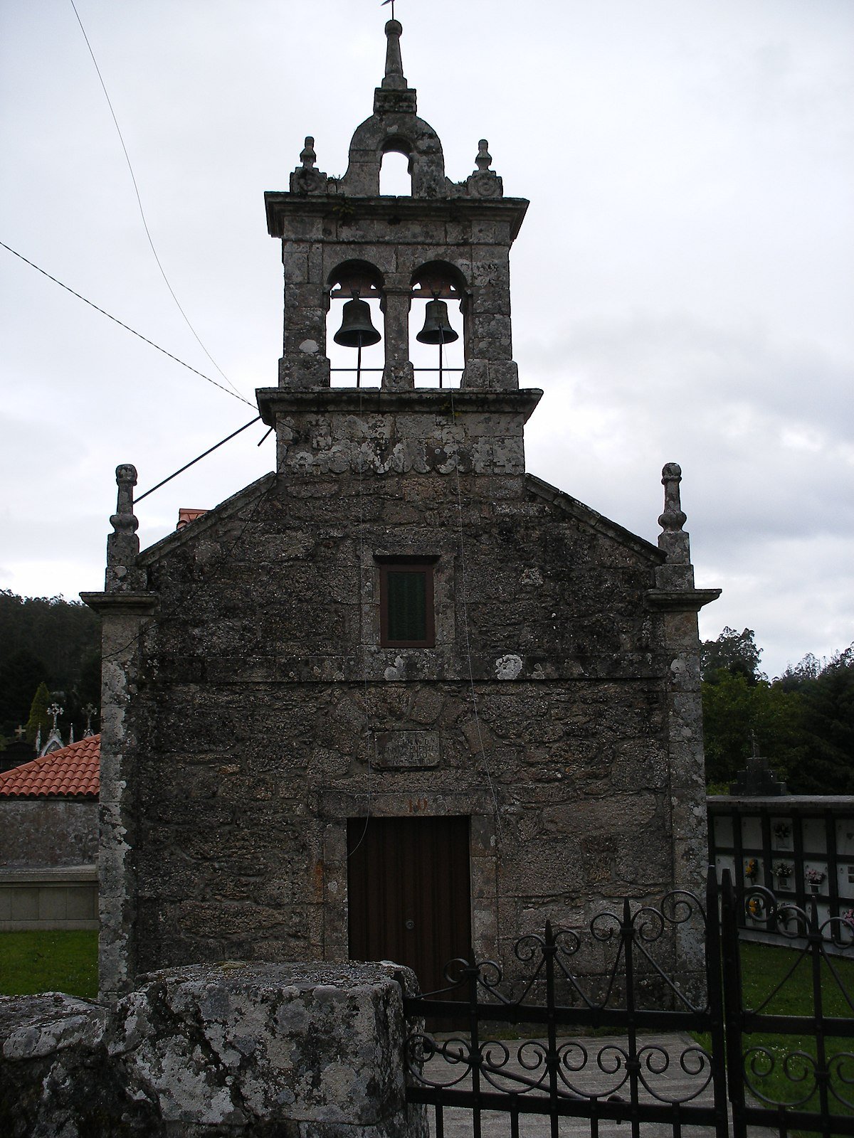
Santa María de Aranga, a natural starting point
Around the church of Santa María de Aranga, the landscape opens out slightly. The grey stone of the building, more sober than overtly ancient in appearance, stands out against the intense green of the surrounding meadows. At certain times of day, little can be heard beyond the occasional car passing slowly or the metallic clang of a gate closing.
Inside, the church is usually simple, as many rural Galician churches are. Pale walls, worn wooden pews and very little decorative flourish define the space. When the door is open, a neighbour might step in briefly, leave some flowers or linger in conversation in the atrium as the morning passes.
Several tracks branch out from here towards nearby villages. There is no need for careful planning. It is enough to follow one of these lanes for a while and see how far it feels right to go.
Lanes Between Villages and Meadows
The area around Santa María forms a mosaic of small plots. Low stone walls separate fields where livestock often graze. Between them run narrow streams, partly hidden by ferns and oak branches.
Some of the paths connect with villages such as A Peraleda, A Pereira or Vilacobos. In these places, public fountains still stand, hórreos rest on their stone supports and houses combine older walls with more recent extensions. They are not designed for hurried strolls. A short walk along a track, a pause in the shade and the sound of water moving along a roadside channel can be plan enough.
In autumn, chestnut leaves begin to fall and cover the ground. Footsteps crunch on the paths, and the air carries the scent of damp wood.
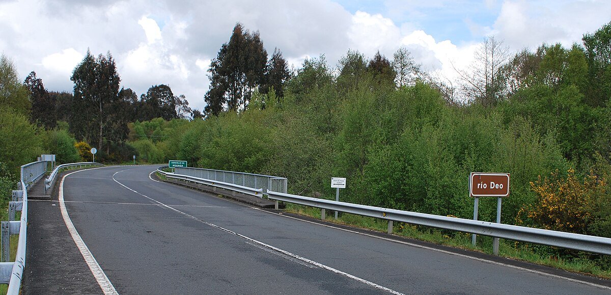
Driving in Aranga: patience helps
Getting around Aranga means accepting that roads quickly become narrow. Many of the tracks serve the daily routines of local residents: tractors heading to fields, cars pulling into farmyards, short journeys between one village and the next.
Driving slowly makes a difference, and it helps to look carefully before parking. An entrance that seems like a convenient lay-by may in fact be access to a field or a stable. A small car makes exploring several villages in the same morning considerably easier.
After several days of rain, some stretches can be muddy or crossed by shallow streams. The situation is rarely serious, yet it does require a calm approach.
When Rain Changes the Landscape
Rain is not an unusual event here, and it alters the feel of the place. Meadows darken, stones along the paths begin to shine and the smell of wet earth grows stronger.
Sound changes as well. Water runs more forcefully through the streams, and soaked leaves soften the noise of footsteps. On those days, long walks may be less appealing. A short drive between a couple of villages, with occasional stops, still makes sense and offers another perspective on the landscape.
A Short Visit, Without Trying to See Everything
Aranga does not demand a full day in order to grasp its character. A couple of hours allow time to explore the area around Santa María and turn off along a few tracks towards nearby villages.
The details are what matter most: a cruceiro, the traditional Galician stone cross, standing beside a crossroads; a fountain that continues to run with cold water even in summer; cart marks carved into a stretch of old stone. None of these elements is monumental in scale, yet each contributes to the overall impression.
There are no grand landmarks here, nor streets arranged for leisurely tourist promenades. What remains is something quieter. Damp paths, houses lived in all year round and a rural way of life that is still visible in each vegetable plot and every moss-covered stone wall shape the experience of Aranga.