Full Article
about Coirós
Hide article Read full article
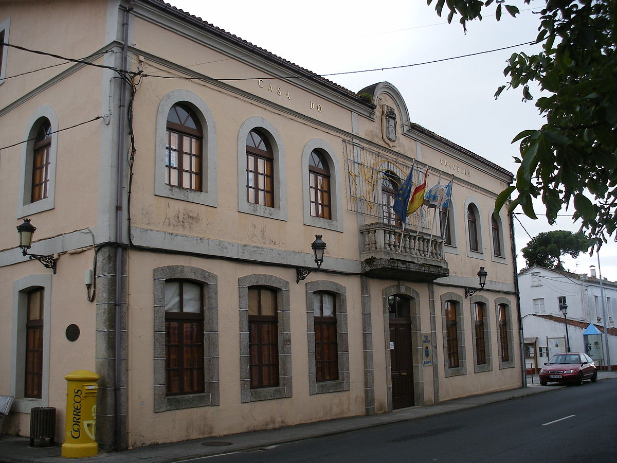
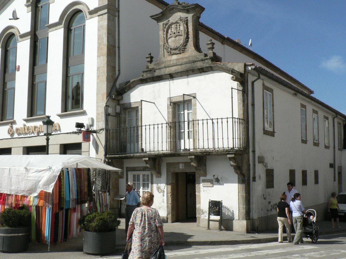
Coirós and the Shape of a Parish
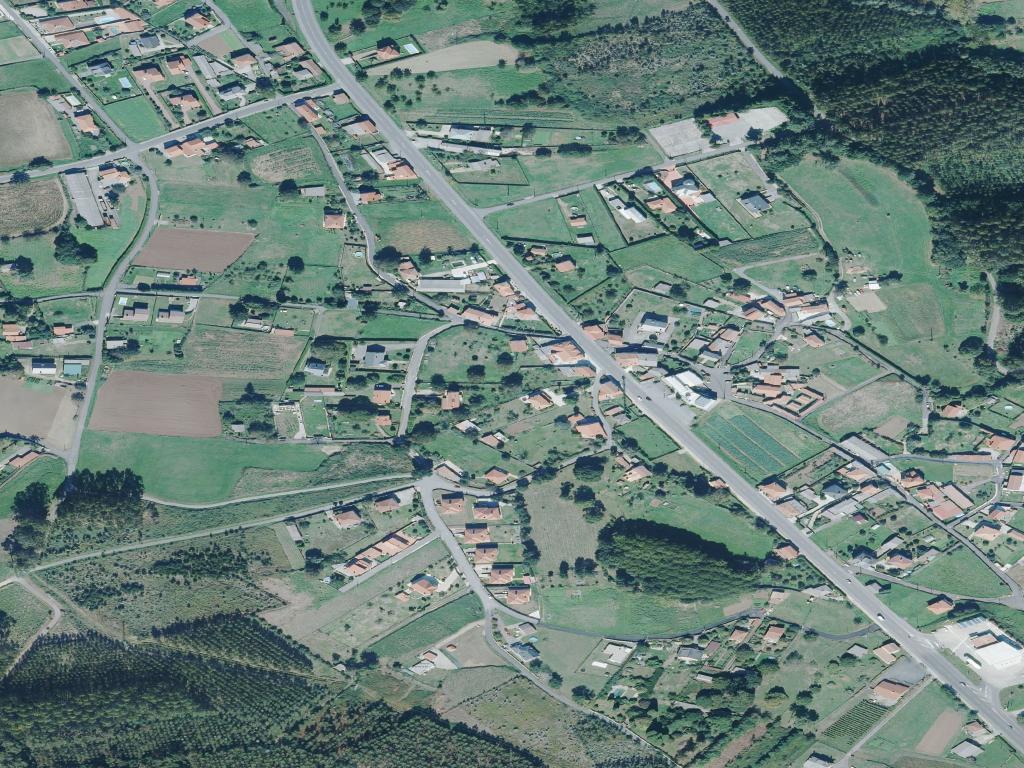
In the comarca of Betanzos, the municipality of Coirós follows a pattern common to inland Galicia: a collection of parishes and villages scattered across valleys and low hills. There is no single town centre. The administrative entity exists on maps, but on the ground you find Santa María de Coirós, Ois, Figueiroa, and other small settlements, each with its own church and cluster of houses. The A-6 motorway passes close by, yet the dominant geography is one of local roads, stone walls, and farmland that rises and falls gently towards the Mandeo river.
A Church as a Reference Point
The church of Santa María de Coirós provides a useful starting point. Records mention it in the 16th century, though its current stone form shows later modifications. Its importance lies less in architectural detail and more in its position. It sits openly, a fixed point around which the parish land organizes itself. From its grounds, you can trace the lines of fields and see how houses are placed on slopes, a practical response to the terrain and to farming needs.
Elements in the Landscape
The heritage here is functional and dispersed. You notice it in passing: stone hórreos for storing maize, their roofs often tiled, standing beside farmhouses. Cruceiros, stone crosses, mark certain crossroads. The older houses follow a clear logic: masonry walls, attached storerooms or stables, and orientations that shelter from the prevailing damp while capturing light. These are not monuments to visit, but parts of a working landscape. In many yards, you can still see the stone structures once used for livestock.
Paths and Movement
Coirós is understood through movement. There are no signposted hiking trails for visitors. Instead, you walk along agricultural tracks or the old paths called corredoiras that connect plots and hamlets. These routes remain in daily use. Respect for private property is necessary. The short valleys, draining towards the Mandeo, often hide damp meadows and strips of woodland from the main road. In autumn, it is common to see people from the area foraging for mushrooms in these woods, a seasonal practice rooted in local knowledge.
The View from the Road
Travel within the municipality requires patience. Distances are short but the roads are narrow, with bends and slopes. Driving from one village to another, you see the components of this landscape in sequence: a line of hórreos, a stone fountain at a bend, a patch of forest giving way to pasture. This rhythm reveals the structure of the place. Large eucalyptus plantations appear in some sections, a modern layer superimposed on the older mosaic of small farms and meadows.
A Practical Approach
If your time is limited, begin at the church of Santa María. Walk along any of the nearby lanes that lead into the fields. Even a short distance brings into view the relationship between houses, granaries, and cultivated land. There is no specific itinerary to follow. The point is to observe how these elements fit together.
Spring and autumn are good times for walking, when the light is clear and the air is often mild. Summer brings parish festivals, days when the population swells as families return.
Getting Your Bearings
From A Coruña, you typically pass through Betanzos before taking local roads into Coirós. The A-6 provides access, but once you exit it, the scale changes. Exploring works best as a series of short drives between hamlets, followed by brief walks. Do not expect a circular tour of a picturesque village. The character of Coirós is in its dispersal, in the way life is arranged across several small valleys. Trying to see it all quickly from a car often results in a blurred impression. The roads are narrow; some corredoiras are too tight for easy turning. This is a place that asks for a slower pace.