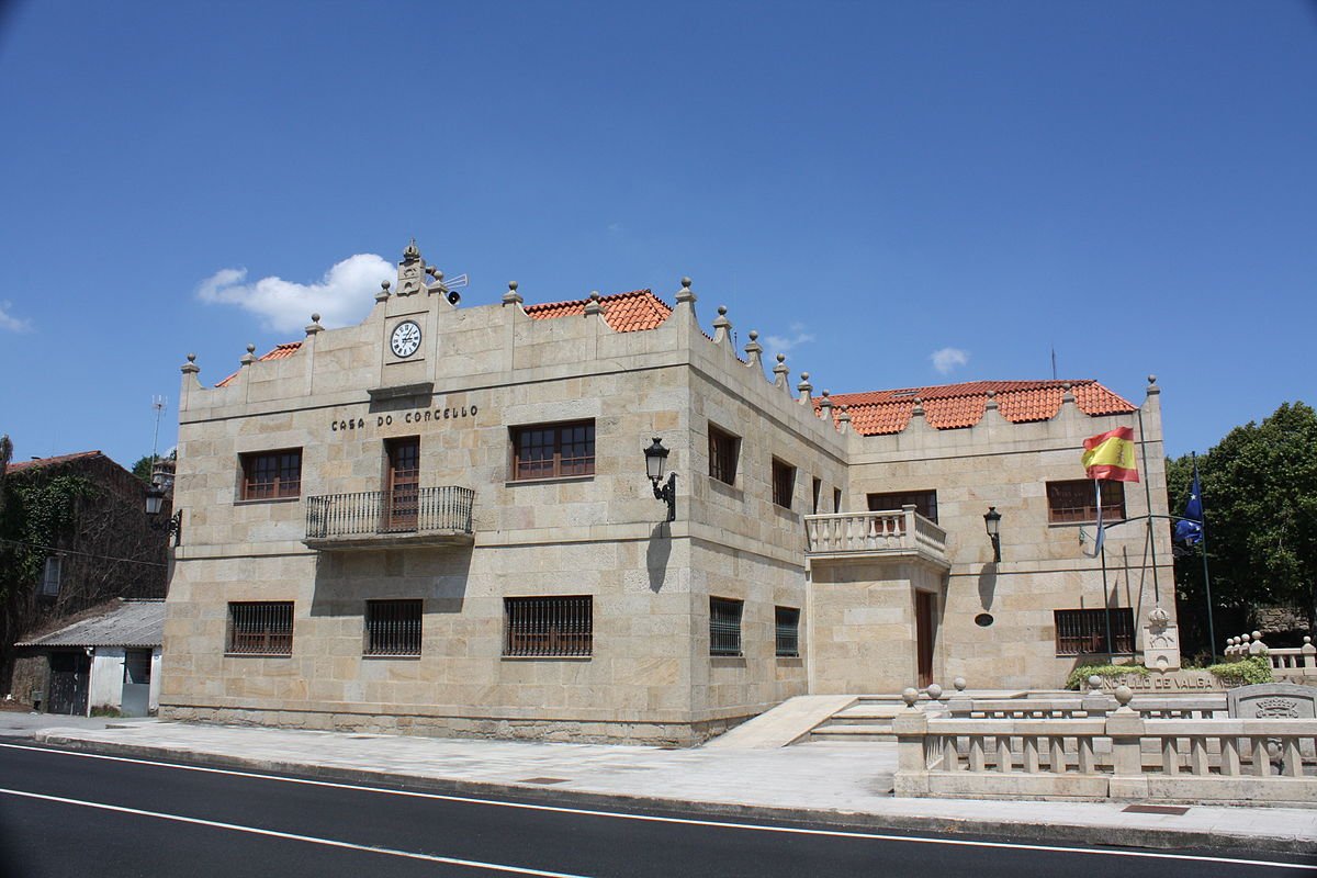
Full Article
about Catoira
Hide article Read full article
The River Ulla widens here and seems to slow to a pause. Close to the Ría de Arousa, the tide pushes in and out twice a day, exposing a strip of mud that smells of salt and seaweed. Tourism in Catoira revolves, almost inevitably, around this estuary and the Torres de Oeste, built at a point where the river could be watched and controlled. From the top, the logic of the setting becomes clear: whoever held this bend of the Ulla held the river gateway inland.
The last barrier before Compostela
The Torres de Oeste formed part of the defensive system that protected access to Santiago de Compostela via the Ulla. During the Early Middle Ages, this was a constant concern. Norman incursions reached several settlements at the head of the estuary, and the river became a vulnerable route towards the interior.
The fortification is traditionally linked to Bishop Cresconio in the 10th century, following attacks that affected Iria Flavia. Over time, the complex was strengthened and adapted, and it continued to serve a military purpose whenever the Ría de Arousa was threatened again.
What remains today are two square towers and part of the enclosure that once connected them, set on a promontory overlooking the river channel. The position is strategic rather than decorative. From here, the wide sweep of the Ulla can be monitored, and the relationship between water and defence is easy to grasp.
Attached to the southern tower stands the small Capilla de Santiago, of Romanesque origin. Its construction is often associated with Diego Xelmírez, who would later become Archbishop of Compostela and who spent part of his childhood linked to this place. The building is simple in layout, with a single nave and a semicircular apse. Outside, among worn stone and grass, traces of earlier defensive structures can still be recognised. They are a reminder that this was not simply a religious site but part of a fortified enclosure designed to guard a river approach.
When the drakkars return
The atmosphere shifts completely during the Romaría Vikinga. What began in the mid 20th century as a local re-enactment has become one of the best-known summer celebrations in Galicia.
On the first Sunday of August, boats modelled on Viking ships sail up the Ulla and land beside the towers. Residents take part dressed as Normans or medieval peasants, surrounded by wooden shields, improvised shouts and a generous dose of humour. There is no strict script. Each edition finds its own tone, somewhere between popular theatre and collective festivity.
The mud along the riverbank plays its part in the spectacle. When the tide is out, the landing turns into an awkward race across thick silt, while spectators gather on the slope and around the enclosure. The scene is deliberately chaotic, more playful than solemn, and firmly rooted in local participation rather than polished historical reconstruction.
For visitors unfamiliar with Galicia’s summer calendar, the Romaría Vikinga stands out for its scale and its setting. The medieval towers, the tidal river and the crowd on the hillside combine to create a striking backdrop, even if the mood is light-hearted rather than reverent.
A bridge across old and new
Just a few metres from the towers, a motorway viaduct crosses the Ulla with a presence that is hard to ignore. Built in the second half of the 20th century, it has since become part of the immediate landscape of the historic site.
Opinion in the village is divided. Some feel the bridge disrupts the historic scene. Others point out that the motorway improved connections with Santiago and the rest of the Ría de Arousa. Whatever the view, the towers and the estuary continue to define the place more strongly than the traffic overhead.
Further downriver, an older bridge survives, associated with the historic routes towards Padrón and Compostela. It has undergone several alterations over time, yet it retains the narrow scale of crossings designed for pedestrians, horses and carts. Its proportions recall a period when movement along the river valley followed a much slower rhythm.
Together, these crossings reflect different moments in Catoira’s story. One speaks of medieval routes and defensive concerns, the other of modern infrastructure and regional connectivity. Both sit within sight of the same tidal waters.
Between estuary and vineyard
The most obvious walk circles the Torres de Oeste and descends to the bank of the Ulla, in the area known as A Croa. It is a short route, but it makes the relationship between the fortified enclosure and the estuary easy to understand. When the tide is low, footwear that can cope with mud is advisable.
From here, paths follow the course of the river towards the Ría de Arousa or inland in the direction of Padrón. They are quiet routes, passing small shellfish gathering areas, boats left aground by the tide and plots where vines and vegetable gardens still appear. The landscape blends brackish water, reeds and cultivated land, a combination typical of the lower stretches of the Ulla.
This mix of sea and agriculture defines much of Catoira’s setting. The estuary shapes daily life through its tides, while the surrounding land continues to show signs of traditional cultivation. It is a landscape that feels lived in rather than staged.
Getting there and timing a visit
Catoira is well connected by road to Santiago de Compostela and to towns around the Ría de Arousa. By car, the journey from the Galician capital usually takes around half an hour, depending on traffic. There is also public transport from several Galician cities, though less frequently than on the main routes.
Access to the Torres de Oeste is free, and the site can be explored quickly. Even so, it is worth pausing on the hillside to look out over the estuary and consider why this stretch of river mattered so much. The strategic curve of the Ulla remains evident.
Those planning to visit during the Romaría Vikinga should arrive in good time. On that day, attendance is high and access roads become congested. Outside the festival, Catoira keeps a much quieter pace, shaped largely by the ebb and flow of the Ulla’s tides rather than by crowds.