Full Article
about Outeiro de Rei
Hide article Read full article
A Municipality Shaped by the Miño
In Outeiro de Rei, the river explains almost everything. By the time the Miño reaches this part of Lugo province, it has widened and slowed, opening into calm channels before continuing west. Along the way it leaves behind insuas, low-lying river islands that shift with flooding, and old stone caneiros where fishing took place for centuries. There is also a riverside beach laid out on ground once occupied by mills.
This is not the coast, yet the landscape has something expansive about it, more open than in other inland stretches of Lugo. The river moves at an unhurried pace between broad meadows, shaping both the scenery and daily life. Outeiro de Rei is best understood by following the Miño and noticing how closely the municipality remains tied to its water.
Growing Within the Terra Chá
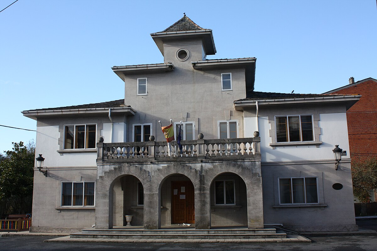
Outeiro de Rei has a population of over five thousand and, unlike many municipalities in the Terra Chá, it has grown in recent years. The Terra Chá is a wide plain in inland Galicia, known for its agricultural character. Part of this growth can be explained by the proximity to the city of Lugo and by the N‑634 road, which crosses the plain on its way towards A Coruña.
The local economy is still strongly linked to the countryside. Dairy farming dominates. There are livestock farms that preserve the traditional family structure, although the systems of control and machinery now in use are very different from those of half a century ago. On the hillsides, eucalyptus is increasingly visible, planted where chestnut once dominated.
The municipality is divided into 27 parishes. Rather than functioning as a single concentrated town, it operates as a network of villages and small settlements, each maintaining its own daily rhythm. Life here is dispersed across the territory, closely connected to farmland and parish communities.
Ancient Marks on the Landscape
Human presence in this area goes back a very long way. In Silvarrei, an Acheulean biface was discovered, a worked stone tool dating to the Palaeolithic. It is a reminder that people were moving through these lands tens of thousands of years ago.
Much later came the mámoas, prehistoric burial mounds that still dot the hills. Dozens have been documented across the municipality. One of the best known is the Medorra da Pedra Dereita, in the parish of Martul. These earth and stone tumuli form part of a broader megalithic tradition found across Galicia.
On several hills there are also Bronze Age petroglyphs, with circles and grooves carved into granite surfaces. In addition, as in much of Galicia, castros occupy elevated positions. These fortified settlements once controlled the surrounding territory. Candai, O Castro and Monte Maior are among those identified here, typically placed on high ground overlooking the Miño valley.
The Romans later organised the area when they founded Lucus Augusti, present-day Lugo. Roads passed through this territory, linking the north-west of the Iberian Peninsula with Astorga. In medieval times defensive towers stood in places such as Outeiro, Taboi and Sobrada. Not all have survived, but the house-tower of A Barreira remains standing. Carved into its stone is the date 1575, a tangible link to that period.
Walking Where the River Slows
In this stretch, the Miño has lost the force it carries down from the mountains of Ourense. It flows slowly between floodplains lined with alders and poplars. Paths run along its banks, routes long used by fishermen and by people from nearby villages.
The Camiño do Miño follows part of these historic paths and allows for several kilometres beside the water, heading north towards Castro de Rei. It can be explored on foot or by bicycle. Along the way, caneiros appear at intervals. These small stone dams were designed to guide fish into nets, evidence of how the river once supported local livelihoods.
Another path traces the river in the direction of Rábade. There, the Parada suspension bridge provides a crossing point. It is a metal footbridge that sways slightly as people walk across. Grey herons are often seen standing motionless on the banks, while cows graze close to the water’s edge.
At Santa Isabel, where the Miño meets the Ladra, a riverside beach has been laid out. The site includes a restored old mill and a designated bathing area that becomes lively in summer. Even then, the setting remains closely tied to its rural surroundings, with the river as the constant presence.
Craft and Literature in Bonxe
In the parish of Bonxe, one of the few traditional potteries still active in Galicia continues its work. The workshop maintains an inherited system based on a potter’s wheel, local clay and a wood-fired kiln. It produces domestic pieces closely linked to Galician cooking, including cazuelas and potas, sturdy earthenware casseroles and pots used in everyday kitchens.
Outeiro de Rei is also the birthplace of the poet Manuel María, one of the best-known voices in twentieth-century Galician literature. His family home now functions as a cultural space and archive. It houses thousands of books, documents and manuscripts, helping to explain the writer’s deep connection to the Terra Chá. The landscape of this plain features prominently in his work, reflecting the fields and horizons that shaped his imagination.
Practical Notes for a Visit
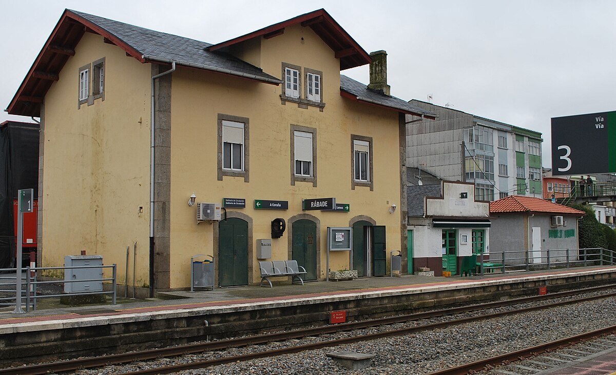
Outeiro de Rei lies around twenty minutes by car from the city of Lugo, reached via the N‑634. The nearest railway station is usually Guitiriz, from where access requires a car or local transport.
Routes along the Miño are best enjoyed when the ground is dry. After several days of rain, the soil becomes heavy and mud appears quickly underfoot. Those interested in rural architecture should look closely at the parish churches and at older stone houses that still retain traditional elements.
This is not a place to rush through. Outeiro de Rei reveals itself gradually, parish by parish, bend by bend in the river. Following the course of the Miño offers the clearest thread through its history and present. Around the water and the fields that surround it, daily life continues much as it has for generations, adapted to modern conditions yet still rooted in the land.