Full Article
about O Rosal
Hide article Read full article
O Rosal and the weight of the Miño
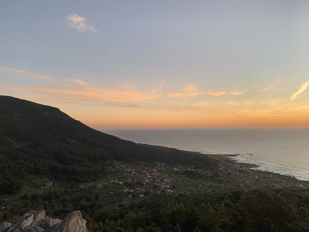
The final stretch of the Miño river, before it meets the Atlantic, is a wide, slow-moving border. O Rosal exists on this strip of land between Galicia and Portugal. Its character comes from that position: vineyards cling to slopes, parishes are scattered, and paths trace lines down to the estuary water. The valley’s form, the granite soil, and the river’s proximity explain the patterns of settlement and cultivation here.
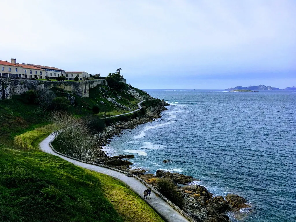
From the riverbank, the historical relationship is visible. For centuries, the Miño was a route for movement and trade. It also marked an administrative line, though daily life has always ignored it.
The vineyards of the Baixo Miño
O Rosal is a subzone of the Rías Baixas denomination. Vines, however, were documented here long before modern regulations. Early records note wine production and its shipment north from this riverbank.
The slopes facing the Miño are a patchwork of small plots. Albariño, loureiro, and treixadura grapes often grow together on the same land, a traditional practice in this area. The terrain is steep, with narrow terraces that resist mechanisation. Much of the work remains manual.
A summer wine fair connected to local production functions more as a local gathering than a tourist event. It is where winegrowers from the surrounding parishes meet.
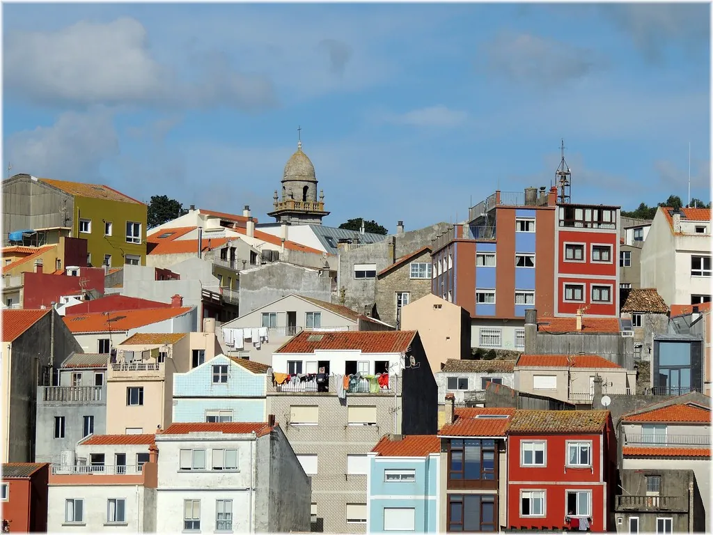
The concello building itself reveals the river’s historical importance. Its main façade turns toward the Miño, not inland. For generations, the water was the most practical route to other places.
The watermills of Monte Picón
On the hillside of Monte Picón, dozens of small stone watermills follow a descending stream. Each one harnessed a different drop in the watercourse to grind maize and other local cereals.
These structures were not just utilitarian. Around them developed spaces for waiting, meeting, and negotiation. When water flow was low, milling turns were arranged among the owners.
A path runs through the site, clarifying how the system operated. In some mills, you can still see the miller’s modest living quarters and the area for the animal that transported grain.
The millers used a particular jargon known as “latín dos cabaqueiros.” It allowed them to discuss turns or prices without being fully understood by customers. Fragments of this language persist in the memory of older residents.
Marks on granite
Human activity on these slopes predates the vineyards and mills. In areas like Ghorghalado, Alto da Campana, and Fonte Seca, petroglyphs are carved into granite outcrops. The motifs—concentric circles, cup marks—are common to Atlantic rock art.
They are not presented as formal visitor sites. Reaching them involves short walks along forest tracks, often through eucalyptus and pine. Signposting is basic and requires attention.
These rocks are consistently placed in locations with broad views over the valley toward the Miño estuary. The vantage points suggest a long-standing awareness of that natural corridor.
From the river and the estuary
Local cooking reflects the resources of the river and estuary. Lamprea appears in season, prepared according to family tradition. Pulpo á feira—octopus boiled and served with paprika and olive oil—is common at gatherings. It is often paired with the local white wine.
Empanadas filled with shellfish from the estuary are typical when tides permit gathering. In late winter and early spring, parish patron saint festivals blend religious events with shared meals among neighbours, a custom that ties celebration to community.
Practical notes
O Rosal is dispersed across several parishes. A car is useful for moving between them, though many shorter routes are walkable.
The Picón mills are explored on foot via a marked path starting at the slope’s base. Wear footwear that can handle damp ground, which is common here.
To grasp the municipality’s layout, go to the banks of the Miño. From there, you see how the valley, the vineyards, and the river connect—a relationship that organised life here for centuries.