Full Article
about Dodro
Hide article Read full article
Where the River Narrows Before the Sea
Dodro sits on the right bank of the River Ulla, just before the water fully opens into the ría de Arousa. This in‑between position, neither entirely inland nor fully maritime, has shaped much of its history. Here runs the final stretch of the Ruta do Mar de Arousa e río Ulla, the route that recalls the medieval tradition according to which the remains of the apostle Santiago arrived by sea to these waters.
Anyone travelling by boat through the ría towards Pontecesures passes the shores of Dodro. The landscape shifts gradually. The wide expanse of the estuary gives way to a narrower course edged with marshland and reeds, signalling the entrance to the valley of the Ulla.
The ría de Arousa works as a broad natural gateway into the interior of Galicia. Its wide mouth offers shelter from Atlantic storms, and once inside, the Ulla allows passage several kilometres inland. That combination explains why, for centuries, this was a convenient route of communication with Compostela, today’s Santiago de Compostela.
Dodro occupies a small valley that opens onto the estuary. Fresh river water and the pull of the tides meet within a short distance of each other. This detail affects crops, vegetation and even the way buildings were constructed.
A Landscape Shaped by Water
The hórreos found in parishes such as Imo are a direct response to this damp climate. Raised on stone pillars and built with ventilated chambers, these traditional Galician granaries were designed to keep grain dry and safe from animals. Many are still in use. They were not conceived as monuments but as part of the everyday working layout of a rural household: house and vegetable plot, the hórreo close by, and the river set a little further away.
One of the most recognisable images in the municipality is in Imo, where a concentration of hórreos stands aligned beside the road. Seeing them together gives a sense of their real scale and of their importance in the domestic economy of the area.
From the valley it is possible to walk towards the lower banks of the Ulla. Agricultural tracks and footpaths cross areas of reeds and small patches of damp woodland. Closer to the river, the land flattens out and marshes appear. At certain times of year, water birds rest here.
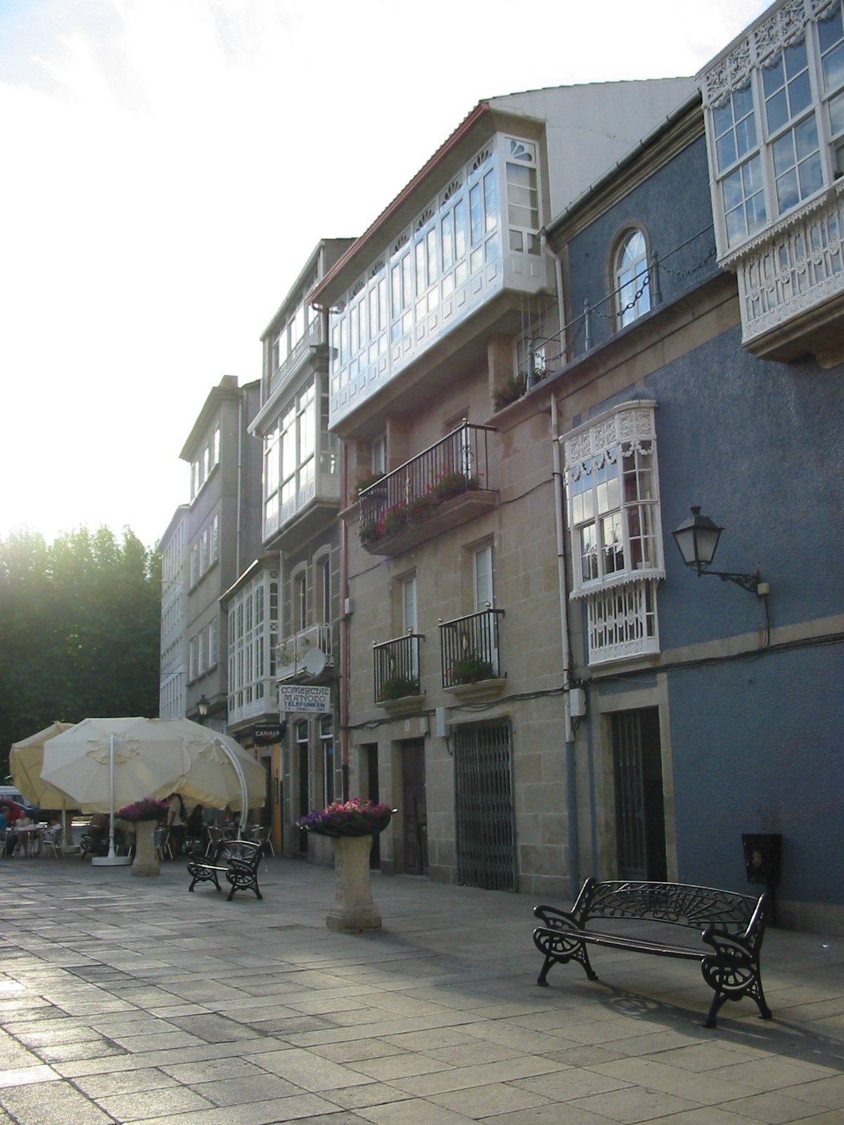
This is not a dramatic landscape in the conventional sense. Its appeal lies in slower observation: the movement of the tides, the vegetable plots near the river, the scattered houses still oriented towards the sun, and the steady presence of water in different forms. Dodro feels tied to the rhythms of the estuary and the river rather than to any single viewpoint.
Iria Flavia and the Memory of the Traslatio
In Late Antiquity and for much of the Middle Ages, the religious centre of this area was not Santiago but Iria Flavia, very close to Dodro. That bishopric controlled a broad territory around the final stretch of the Ulla. Over time, Compostela concentrated ecclesiastical power, yet the earlier map can still be sensed in the organisation of local parishes.
Several parish churches in Dodro retain fabric dating back at least to the Early Modern period. The church of San Xoán, rebuilt in the eighteenth century on the site of an earlier building, has a restrained interior where the most interesting features are often found in the stonework. In some walls, reused pieces from older constructions are visible, something common in rural Galician churches.
The memory of Iria and of the Jacobean journey along the Ulla remains alive in the tradition of the Traslatio. Each year this commemorates the river voyage inland associated with the arrival of Santiago’s remains. For visitors unfamiliar with the story, it forms part of the wider set of traditions linked to the Camino de Santiago, the pilgrimage routes leading to Santiago de Compostela.
The Ría on the Table
In Dodro, cooking reflects proximity to the ría rather than elaborate preparation. Seafood and fish come from the nearby ports of the estuary of Arousa, and that proximity shapes what appears on the table.
Pulpo, prepared in the Galician style, features frequently. Sepia, chipirón and various clams are also common when the season allows. These are straightforward dishes, intended more for sharing than for display.
Wine usually arrives from the nearby wine‑growing areas of the Rías Baixas. The distance is short, and albariño forms a natural part of a meal in this part of the estuary. Food and drink follow the same logic as the landscape: close to the water, shaped by what is available nearby.
Moving Through the Valley
Dodro lies a few kilometres from Padrón, in the final stretch of the Ulla valley before it opens into the ría de Arousa. It can be reached by local road from the Padrón area or by following the line of the estuary inland.
There is no large urban centre. Life is organised around parishes and small villages scattered across the valley. Travellers usually move between them, and a car makes it easier to explore the area at a relaxed pace.
Spring and early summer are often the most pleasant times to walk along the banks of the Ulla. In autumn the landscape shifts with the rains, and the river takes on greater presence. Winter is quieter and more humid, when the valley most closely resembles what it has long been: agricultural land pressed up against the water.
Dodro does not rely on spectacle. Its character comes from its position between river and sea, from the memory of routes that once connected these waters to Compostela, and from everyday structures such as the hórreos of Imo. It is a place best understood as part of the wider geography of the ría de Arousa and the Ulla, where tides and fresh water meet and where history followed the course of the river inland.